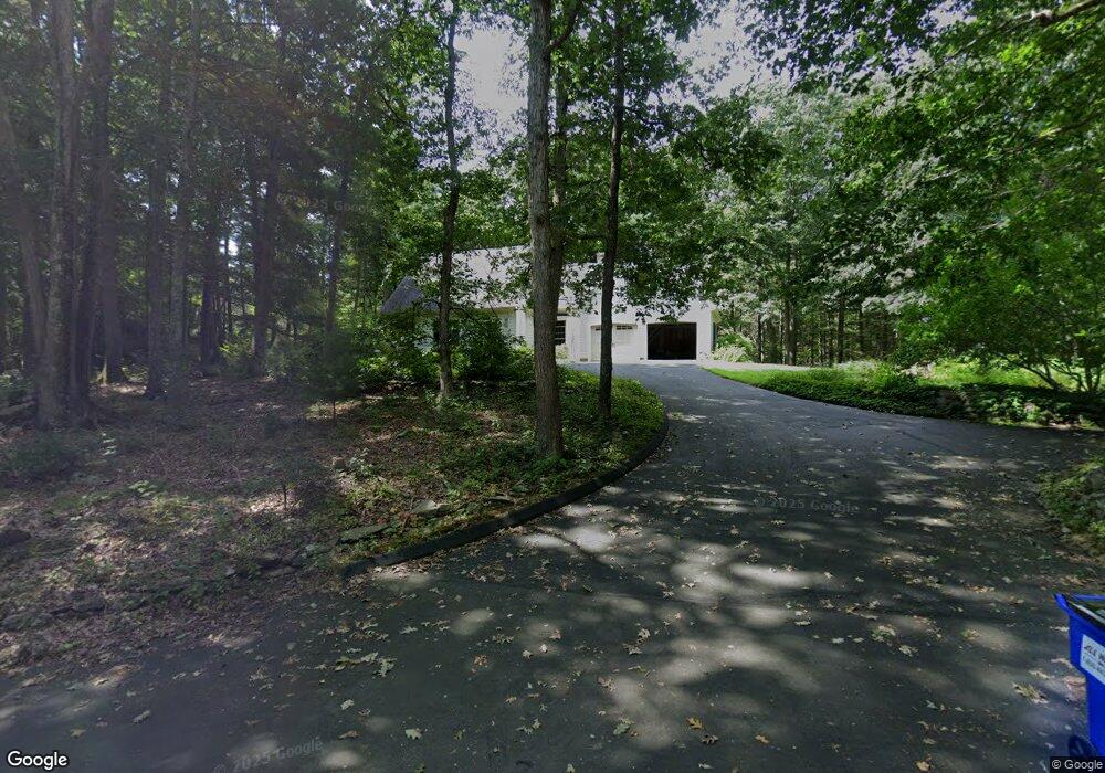
589 Toby Hill Rd Westbrook, CT 06498
Estimated Value: $625,000 - $662,725
4
Beds
3
Baths
2,226
Sq Ft
$289/Sq Ft
Est. Value
About This Home
This home is located at 589 Toby Hill Rd, Westbrook, CT 06498 and is currently estimated at $642,931, approximately $288 per square foot. 589 Toby Hill Rd is a home located in Middlesex County with nearby schools including Daisy Ingraham School, Westbrook Middle School, and Westbrook High School.
Ownership History
Date
Name
Owned For
Owner Type
Purchase Details
Closed on
Mar 28, 2008
Sold by
Huntington William
Bought by
Watson Charles and Hahn Nance
Current Estimated Value
Home Financials for this Owner
Home Financials are based on the most recent Mortgage that was taken out on this home.
Original Mortgage
$288,000
Interest Rate
5.27%
Mortgage Type
Purchase Money Mortgage
Purchase Details
Closed on
Jul 21, 1987
Sold by
V & A Developers
Bought by
Collins Thomas H
Home Financials for this Owner
Home Financials are based on the most recent Mortgage that was taken out on this home.
Original Mortgage
$190,000
Interest Rate
10.69%
Mortgage Type
Purchase Money Mortgage
Create a Home Valuation Report for This Property
The Home Valuation Report is an in-depth analysis detailing your home's value as well as a comparison with similar homes in the area
Home Values in the Area
Average Home Value in this Area
Purchase History
| Date | Buyer | Sale Price | Title Company |
|---|---|---|---|
| Watson Charles | $360,000 | -- | |
| Collins Thomas H | $242,000 | -- |
Source: Public Records
Mortgage History
| Date | Status | Borrower | Loan Amount |
|---|---|---|---|
| Open | Collins Thomas H | $256,000 | |
| Closed | Collins Thomas H | $288,000 | |
| Previous Owner | Collins Thomas H | $190,000 |
Source: Public Records
Tax History Compared to Growth
Tax History
| Year | Tax Paid | Tax Assessment Tax Assessment Total Assessment is a certain percentage of the fair market value that is determined by local assessors to be the total taxable value of land and additions on the property. | Land | Improvement |
|---|---|---|---|---|
| 2025 | $6,971 | $309,810 | $132,630 | $177,180 |
| 2024 | $6,723 | $309,810 | $132,630 | $177,180 |
| 2023 | $6,605 | $309,810 | $132,630 | $177,180 |
| 2022 | $6,432 | $309,810 | $132,630 | $177,180 |
| 2021 | $5,942 | $237,680 | $79,720 | $157,960 |
| 2020 | $5,942 | $237,680 | $79,720 | $157,960 |
| 2019 | $5,864 | $237,680 | $79,720 | $157,960 |
| 2018 | $5,722 | $234,810 | $79,720 | $155,090 |
| 2017 | $5,638 | $231,330 | $79,720 | $151,610 |
| 2016 | $5,517 | $238,410 | $79,720 | $158,690 |
| 2015 | $5,367 | $238,410 | $79,720 | $158,690 |
| 2014 | $5,195 | $238,410 | $79,720 | $158,690 |
Source: Public Records
Map
Nearby Homes
- 199 Toby Hill Rd
- 14 Halls Rd
- 2 Lake Louise Dr
- 1 Lake Louise Dr
- 11 Timberlane Dr
- 5 Fox Hollow Rd
- 54 Lakeview Terrace
- 11 Pond Circle Rd
- 87 McVeagh Rd
- 79 Pine Lake Rd
- 11 Orchard Path Unit 11
- 130 Mares Hill Rd
- 157 Pine Lake Rd
- 155 Fawn Hill Dr
- 1110 Old Clinton Rd
- 20 Comstock Ave Unit 2C
- 1286 Boston Post Rd
- 1280 Boston Post Rd
- 41 S Main St
- 755 W Pond Meadow Rd
- 573 Toby Hill Rd
- 611 Toby Hill Rd
- 553 Toby Hill Rd
- 554 Toby Hill Rd
- 1 Autumn Ridge Rd
- 1 Autumn Ridge
- 497 Toby Hill Rd
- 540 Toby Hill Rd
- 520 Toby Hill Rd
- 714 Toby Hill Rd
- 506 Toby Hill Rd
- Lot 3 Autumn Ridge Rd
- Lot 6 Autumn Ridge
- 716 Toby Hill Rd
- 478 Toby Hill Rd
- 2 Autumn Ridge
- 441 Toby Hill Rd
- 5 Autumn Ridge
- 530 Toby Hill Rd
- 719 Toby Hill Rd