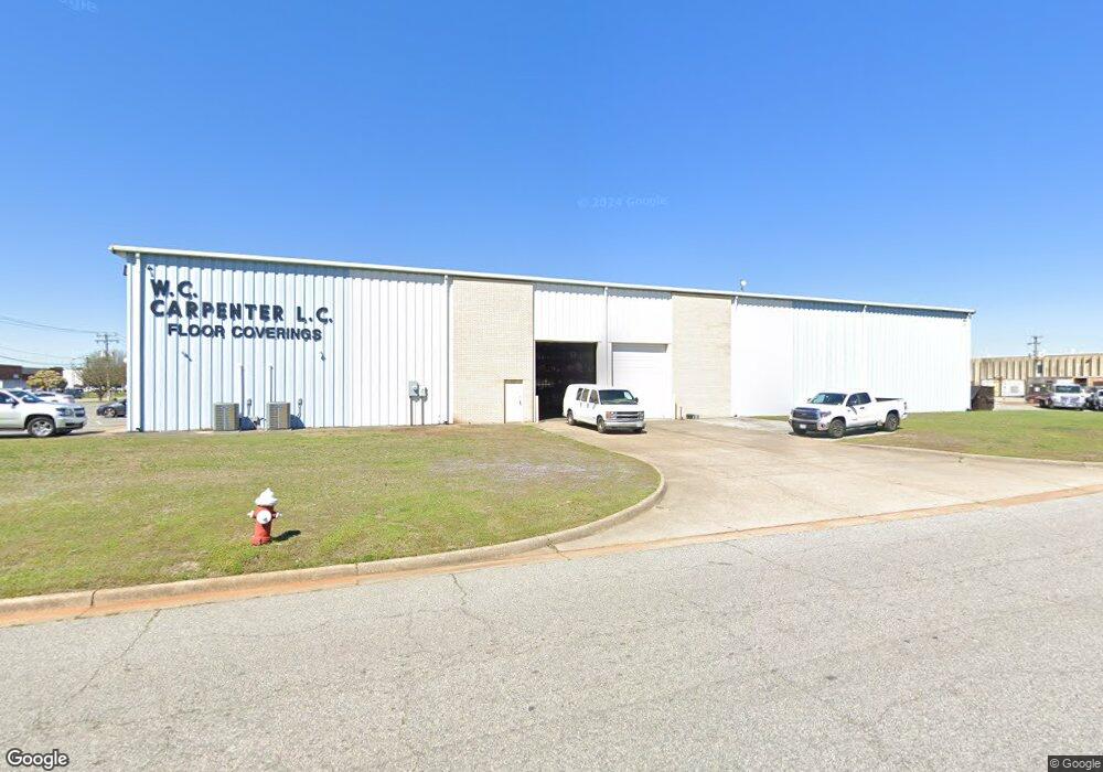
5890 Thurston Ave Virginia Beach, VA 23455
Bayside Neighborhood
--
Bed
--
Bath
27,531
Sq Ft
2.55
Acres
About This Home
This home is located at 5890 Thurston Ave, Virginia Beach, VA 23455. 5890 Thurston Ave is a home located in Virginia Beach City with nearby schools including Bayside Elementary School, Bayside 6th Grade Campus, and Bayside High School.
Ownership History
Date
Name
Owned For
Owner Type
Purchase Details
Closed on
Aug 30, 2019
Sold by
Rinaca Jane C
Bought by
Thurston Avenue Llc
Create a Home Valuation Report for This Property
The Home Valuation Report is an in-depth analysis detailing your home's value as well as a comparison with similar homes in the area
Home Values in the Area
Average Home Value in this Area
Purchase History
| Date | Buyer | Sale Price | Title Company |
|---|---|---|---|
| Thurston Avenue Llc | $333,714 | Bridgetrust Title | |
| Thurston Avenue Llc | $333,714 | Bridgetrust Title | |
| Thurston Avenue Llc | $333,714 | Bridgetrust Title | |
| Thurston Avenue Llc | -- | None Available | |
| Weinschel Elizabeth C | -- | None Available | |
| Hamilton Katherine C | -- | None Available | |
| Hamilton Katherine C | -- | None Available |
Source: Public Records
Tax History Compared to Growth
Tax History
| Year | Tax Paid | Tax Assessment Tax Assessment Total Assessment is a certain percentage of the fair market value that is determined by local assessors to be the total taxable value of land and additions on the property. | Land | Improvement |
|---|---|---|---|---|
| 2025 | $16,479 | $1,738,600 | $603,200 | $1,135,400 |
| 2024 | $16,479 | $1,698,900 | $603,200 | $1,095,700 |
| 2023 | $15,256 | $1,541,000 | $603,200 | $937,800 |
| 2022 | $14,244 | $1,438,800 | $626,400 | $812,400 |
| 2021 | $13,536 | $1,367,300 | $603,200 | $764,100 |
| 2020 | $13,595 | $1,336,100 | $603,200 | $732,900 |
| 2019 | $13,338 | $1,207,100 | $533,600 | $673,500 |
| 2018 | $12,101 | $1,207,100 | $533,600 | $673,500 |
| 2017 | $11,347 | $1,131,900 | $464,000 | $667,900 |
| 2016 | $10,831 | $1,094,000 | $422,000 | $672,000 |
| 2015 | $10,594 | $1,079,200 | $422,000 | $657,200 |
| 2014 | $9,816 | $1,066,000 | $422,000 | $644,000 |
Source: Public Records
Map
Nearby Homes
- 1900 Darnell Dr
- 1957 Darnell Dr
- 1536 Sagewood Dr
- 1549 Sagewood Dr
- 5712 Gretna Rd
- 1027 Finney Cir
- 5512 Forest View Dr
- 1161 Hillock Crossing
- 5537 Finespun Last
- 1109 Spindle Crossing
- 1284 Hillock Crossing
- 1004 Pastern Brief
- 2110 Point Hollow Ct
- 2134 Point Hollow Ct
- 5545 Lambdin Arch
- 5644 Lawson Hall Rd
- 1052 Old Canterbury Dr
- 5505 Merner Ln
- 5612 Rossburn Dr
- 2526 Wingfield Rd
- 5894 Thurston Ave
- 5770 Thurston Ave
- 5898 Thurston Ave
- 1421 Baker Rd
- 1301 Baker Rd
- 5717 Thurston Ave
- 5900 Thurston Ave
- 5721 Thurston Ave
- 5795 Thurston Ave
- 5713 Thurston Ave
- 5908 Thurston Ave
- 1424 Baker Rd
- 5700 Thurston Ave
- 5901 Thurston Ave
- 1427 Baker Rd
- 1364 Baker Rd
- 1436 Air Rail Ave
- 1400 Air Rail Ave
- 5701 Thurston Ave
- 1397 Baker Rd