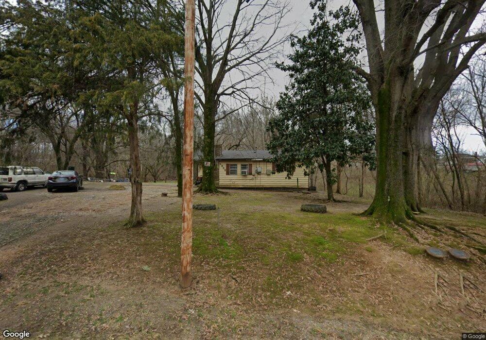
5892 Rust Rd Memphis, TN 38127
Estimated Value: $140,837 - $192,000
4
Beds
1
Bath
1,540
Sq Ft
$105/Sq Ft
Est. Value
About This Home
This home is located at 5892 Rust Rd, Memphis, TN 38127 and is currently estimated at $161,459, approximately $104 per square foot. 5892 Rust Rd is a home located in Shelby County with nearby schools including E.E. Jeter Elementary School, Trezevant High School, and Compass Community School Frayser Campus.
Ownership History
Date
Name
Owned For
Owner Type
Purchase Details
Closed on
Apr 24, 2025
Sold by
Ingram Cordia Mae
Bought by
Ingram Cordia Mae and Morgan Tina D
Current Estimated Value
Create a Home Valuation Report for This Property
The Home Valuation Report is an in-depth analysis detailing your home's value as well as a comparison with similar homes in the area
Purchase History
| Date | Buyer | Sale Price | Title Company |
|---|---|---|---|
| Ingram Cordia Mae | -- | None Listed On Document |
Source: Public Records
Tax History
| Year | Tax Paid | Tax Assessment Tax Assessment Total Assessment is a certain percentage of the fair market value that is determined by local assessors to be the total taxable value of land and additions on the property. | Land | Improvement |
|---|---|---|---|---|
| 2025 | $856 | $32,200 | $7,100 | $25,100 |
| 2024 | $856 | $25,250 | $6,225 | $19,025 |
| 2023 | $856 | $25,250 | $6,225 | $19,025 |
| 2022 | $856 | $25,250 | $6,225 | $19,025 |
| 2021 | $871 | $25,250 | $6,225 | $19,025 |
| 2020 | $713 | $17,600 | $5,675 | $11,925 |
| 2019 | $713 | $17,600 | $5,675 | $11,925 |
| 2018 | $713 | $17,600 | $5,675 | $11,925 |
| 2017 | $723 | $17,600 | $5,675 | $11,925 |
| 2016 | $731 | $16,725 | $0 | $0 |
| 2014 | $731 | $16,725 | $0 | $0 |
Source: Public Records
Map
Nearby Homes
- 6141 Woodstock View Dr
- 6150 Woodstock Hills Dr
- 6234 Woodstock Cuba Rd
- 5918 Millington Rd
- 2989 Little John Rd
- 6353 US 51 Hwy N
- 6639 Old Millington Rd
- 6746 Old Millington Rd
- 4623 Sunnybrook St
- 5742 N Watkins St
- 1907 Campbell Rd
- 2620 Maverick Ave
- 6443 N Watkins St
- 4566 Range Line Rd
- 4551 Sunny View Dr
- 6525 N Watkins Rd
- 4537 Suncrest Dr
- 3545 Lucy Rd
- 4522 Sunny View Dr
- 4530 Beacon Hill Dr
Your Personal Tour Guide
Ask me questions while you tour the home.