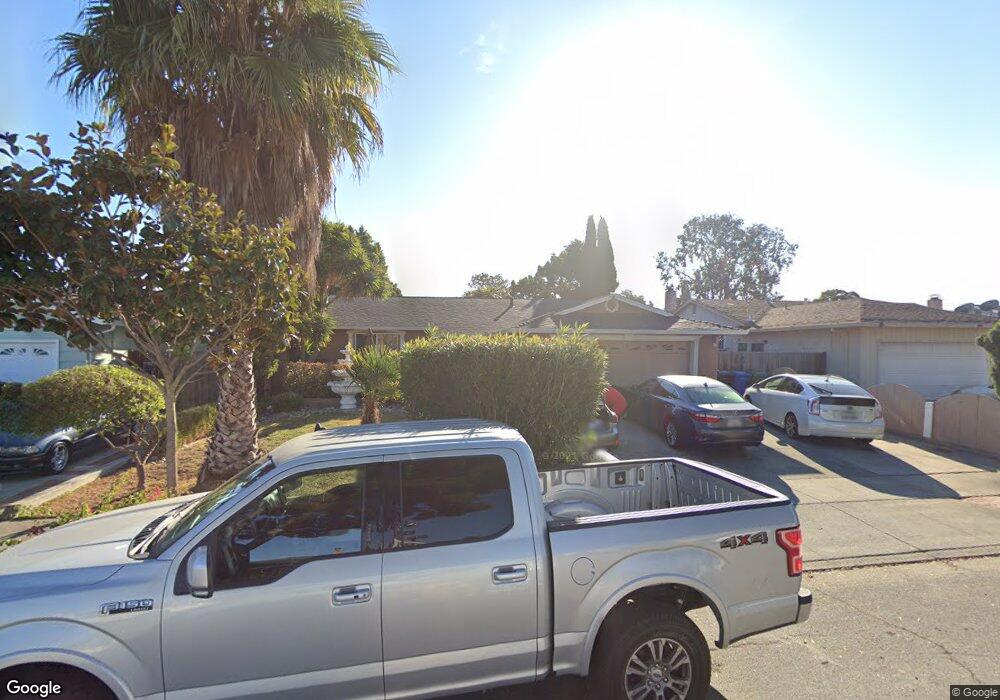
5896 Saint Paul Dr Newark, CA 94560
Estimated Value: $1,185,348 - $1,302,000
4
Beds
2
Baths
1,472
Sq Ft
$850/Sq Ft
Est. Value
About This Home
This home is located at 5896 Saint Paul Dr, Newark, CA 94560 and is currently estimated at $1,250,837, approximately $849 per square foot. 5896 Saint Paul Dr is a home located in Alameda County with nearby schools including Birch Grove Intermediate School, Newark Junior High School, and Newark Memorial High School.
Ownership History
Date
Name
Owned For
Owner Type
Purchase Details
Closed on
Aug 23, 2024
Sold by
Sanchez Gerardo and Sanchez Sofia C
Bought by
Sanchez Family Trust and Sanchez
Current Estimated Value
Purchase Details
Closed on
Apr 22, 1994
Sold by
Hayes Thomas W and Hayes Carrie Lee
Bought by
Sanchez Gerardo and Sanchez Sofia C
Home Financials for this Owner
Home Financials are based on the most recent Mortgage that was taken out on this home.
Original Mortgage
$160,500
Interest Rate
5.25%
Create a Home Valuation Report for This Property
The Home Valuation Report is an in-depth analysis detailing your home's value as well as a comparison with similar homes in the area
Home Values in the Area
Average Home Value in this Area
Purchase History
| Date | Buyer | Sale Price | Title Company |
|---|---|---|---|
| Sanchez Family Trust | -- | None Listed On Document | |
| Sanchez Gerardo | $210,500 | Placer Title Company |
Source: Public Records
Mortgage History
| Date | Status | Borrower | Loan Amount |
|---|---|---|---|
| Previous Owner | Sanchez Gerardo | $160,500 |
Source: Public Records
Tax History Compared to Growth
Tax History
| Year | Tax Paid | Tax Assessment Tax Assessment Total Assessment is a certain percentage of the fair market value that is determined by local assessors to be the total taxable value of land and additions on the property. | Land | Improvement |
|---|---|---|---|---|
| 2025 | $4,802 | $357,765 | $107,414 | $250,351 |
| 2024 | $4,802 | $350,751 | $105,308 | $245,443 |
| 2023 | $4,661 | $343,874 | $103,244 | $240,630 |
| 2022 | $4,587 | $337,131 | $101,219 | $235,912 |
| 2021 | $4,476 | $330,522 | $99,235 | $231,287 |
| 2020 | $4,371 | $327,132 | $98,217 | $228,915 |
| 2019 | $4,313 | $320,719 | $96,292 | $224,427 |
| 2018 | $4,245 | $314,431 | $94,404 | $220,027 |
| 2017 | $4,138 | $308,267 | $92,553 | $215,714 |
| 2016 | $4,087 | $302,224 | $90,739 | $211,485 |
| 2015 | $4,073 | $297,686 | $89,376 | $208,310 |
| 2014 | $3,959 | $291,855 | $87,626 | $204,229 |
Source: Public Records
Map
Nearby Homes
- 5669 Civic Terrace Ave
- 6198 Civic Terrace Ave Unit A
- 36931 Newark Blvd Unit E
- 5912 Mayhews Landing Rd
- 6176 Thomas Ave
- 37088 Arden St
- 6245 Thornton Ave
- 6189 Thornton Ave Unit C
- 6433 Thornton Ave
- 6234 Zulmida Ave
- 37659 Granville Dr
- 6257 Honeysuckle Dr
- 6364 Noel Ave
- 36593 Leone St
- 6065 Robertson Ave
- 36976 Mulberry St
- 5268 Keeler Ct
- 5879 Caleb Ct
- 6025 Radcliffe Ave
- 6429 Robertson Ave
- 5888 Saint Paul Dr
- 5893 Saint Matthew Dr
- 5881 Saint Matthew Dr
- 5919 Saint Matthew Dr
- 5862 Saint Paul Dr
- 5942 Saint Paul Dr
- 5867 Saint Matthew Dr
- 5897 Saint Paul Dr
- 5951 Saint Matthew Dr
- 5889 Saint Paul Dr
- 5909 Saint Paul Dr
- 5844 Saint Paul Dr
- 5865 Saint Paul Dr
- 5845 Saint Matthew Dr
- 5953 Saint Paul Dr
- 5849 Saint Paul Dr
- 5830 Saint Paul Dr
- 5967 Saint Paul Dr
- 5890 Civic Terrace Ave
- 5874 Civic Terrace Ave