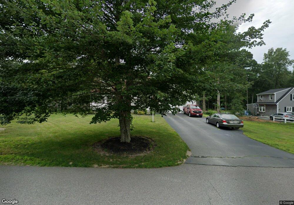
59 Andrew Ln Hanson, MA 02341
Estimated Value: $594,153 - $672,000
3
Beds
2
Baths
1,550
Sq Ft
$410/Sq Ft
Est. Value
About This Home
This home is located at 59 Andrew Ln, Hanson, MA 02341 and is currently estimated at $635,788, approximately $410 per square foot. 59 Andrew Ln is a home located in Plymouth County.
Ownership History
Date
Name
Owned For
Owner Type
Purchase Details
Closed on
Apr 25, 1988
Sold by
Hayes David E
Bought by
Somers Glenn T
Current Estimated Value
Create a Home Valuation Report for This Property
The Home Valuation Report is an in-depth analysis detailing your home's value as well as a comparison with similar homes in the area
Home Values in the Area
Average Home Value in this Area
Purchase History
| Date | Buyer | Sale Price | Title Company |
|---|---|---|---|
| Somers Glenn T | $157,000 | -- |
Source: Public Records
Mortgage History
| Date | Status | Borrower | Loan Amount |
|---|---|---|---|
| Open | Somers Glenn T | $70,000 | |
| Closed | Somers Glenn T | $80,000 | |
| Closed | Somers Glenn T | $99,500 | |
| Closed | Somers Glenn T | $105,000 |
Source: Public Records
Tax History
| Year | Tax Paid | Tax Assessment Tax Assessment Total Assessment is a certain percentage of the fair market value that is determined by local assessors to be the total taxable value of land and additions on the property. | Land | Improvement |
|---|---|---|---|---|
| 2025 | $6,718 | $502,100 | $181,400 | $320,700 |
| 2024 | $6,584 | $492,100 | $176,100 | $316,000 |
| 2023 | $6,402 | $451,500 | $176,100 | $275,400 |
| 2022 | $6,252 | $414,300 | $160,100 | $254,200 |
| 2021 | $5,611 | $371,600 | $154,000 | $217,600 |
| 2020 | $5,529 | $362,100 | $148,700 | $213,400 |
| 2019 | $5,283 | $340,200 | $145,800 | $194,400 |
| 2018 | $4,849 | $306,300 | $140,300 | $166,000 |
| 2017 | $4,705 | $294,400 | $133,600 | $160,800 |
| 2016 | $4,798 | $289,900 | $133,600 | $156,300 |
| 2015 | $4,523 | $284,100 | $133,600 | $150,500 |
Source: Public Records
Map
Nearby Homes
- 127 Crescent Place
- 134 Crescent St
- 161 Winter St Unit 11
- Lot 6 Way
- 269 Lakeside Rd
- 26 Stonebridge Dr
- 361 County Rd
- 361A County Rd
- 84 Liberty St
- Lot 5 Princeton Way
- 430 Brook Bend Rd
- 139 Fairwood Dr
- 339 State St
- 66 Wildwood Rd
- 724 Whitman St
- 108 Waterford Dr
- 80 Phillips St
- 72 Phillips St
- 1054 Main St
- 61 Sawmill Ln Unit 61
Your Personal Tour Guide
Ask me questions while you tour the home.