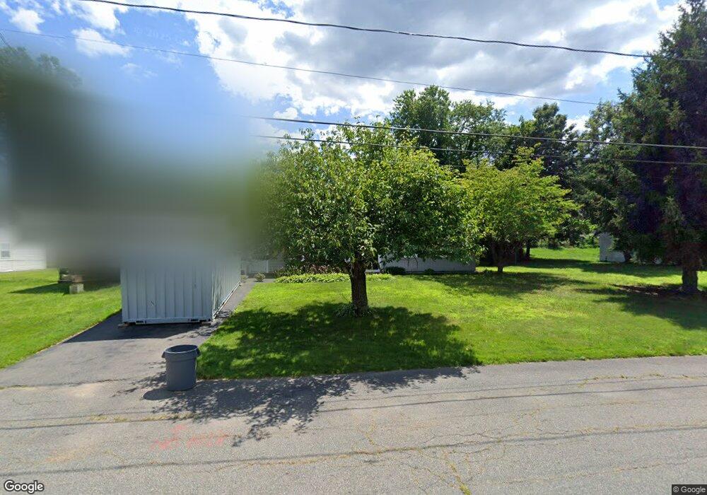
59 Annette Rd Brockton, MA 02302
Estimated Value: $456,000 - $476,000
3
Beds
1
Bath
1,140
Sq Ft
$412/Sq Ft
Est. Value
About This Home
This home is located at 59 Annette Rd, Brockton, MA 02302 and is currently estimated at $470,216, approximately $412 per square foot. 59 Annette Rd is a home located in Plymouth County with nearby schools including Brookfield Elementary School, Downey Elementary School, and Ashfield Middle School.
Create a Home Valuation Report for This Property
The Home Valuation Report is an in-depth analysis detailing your home's value as well as a comparison with similar homes in the area
Home Values in the Area
Average Home Value in this Area
Tax History Compared to Growth
Tax History
| Year | Tax Paid | Tax Assessment Tax Assessment Total Assessment is a certain percentage of the fair market value that is determined by local assessors to be the total taxable value of land and additions on the property. | Land | Improvement |
|---|---|---|---|---|
| 2025 | $4,894 | $404,100 | $145,000 | $259,100 |
| 2024 | $4,664 | $388,000 | $145,000 | $243,000 |
| 2023 | $4,662 | $359,200 | $110,000 | $249,200 |
| 2022 | $4,336 | $310,400 | $100,000 | $210,400 |
| 2021 | $3,998 | $275,700 | $95,000 | $180,700 |
| 2020 | $3,944 | $260,300 | $91,000 | $169,300 |
| 2019 | $3,896 | $250,700 | $85,500 | $165,200 |
| 2018 | $3,591 | $223,600 | $85,500 | $138,100 |
| 2017 | $3,104 | $192,800 | $85,500 | $107,300 |
| 2016 | $3,008 | $173,300 | $81,500 | $91,800 |
| 2015 | $2,860 | $157,600 | $81,500 | $76,100 |
| 2014 | $2,972 | $163,900 | $81,500 | $82,400 |
Source: Public Records
Map
Nearby Homes
- 61 Annette Rd
- 51 Annette Rd
- 716 E Ashland St
- 708 E Ashland St
- 724 E Ashland St
- 64 Annette Rd
- 56 Annette Rd
- 43 Annette Rd
- 75 Annette Rd
- 702 E Ashland St
- 730 E Ashland St
- 20 Cerel Cir
- 715 E Ashland St
- 723 E Ashland St
- 707 E Ashland St
- 738 E Ashland St
- 694 E Ashland St
- 40 Annette Rd
- 111 Anne Marie Dr
- 81 Annette Rd