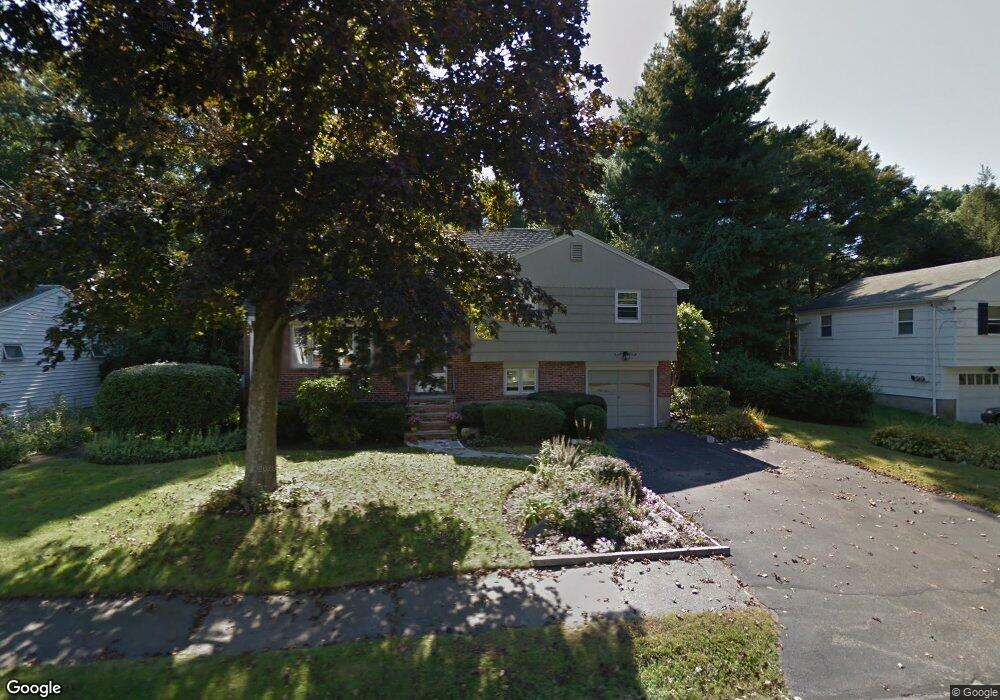
59 Ardmore Rd Needham Heights, MA 02494
Estimated Value: $2,269,000 - $2,672,000
4
Beds
7
Baths
1,781
Sq Ft
$1,420/Sq Ft
Est. Value
About This Home
This home is located at 59 Ardmore Rd, Needham Heights, MA 02494 and is currently estimated at $2,528,481, approximately $1,419 per square foot. 59 Ardmore Rd is a home located in Norfolk County with nearby schools including Eliot Elementary School, High Rock Middle School, and Pollard Middle School.
Ownership History
Date
Name
Owned For
Owner Type
Purchase Details
Closed on
Jul 7, 2010
Sold by
Selig Martin and Selig Elayne Z
Bought by
Kaye Joel A and Kaye Marjory S
Current Estimated Value
Home Financials for this Owner
Home Financials are based on the most recent Mortgage that was taken out on this home.
Original Mortgage
$417,000
Outstanding Balance
$277,932
Interest Rate
4.78%
Mortgage Type
Purchase Money Mortgage
Estimated Equity
$2,250,549
Create a Home Valuation Report for This Property
The Home Valuation Report is an in-depth analysis detailing your home's value as well as a comparison with similar homes in the area
Home Values in the Area
Average Home Value in this Area
Purchase History
We collect this data history from publicly available records. To have your information removed, we recommend requesting removal directly through your county’s website.
| Date | Buyer | Sale Price | Title Company |
|---|---|---|---|
| Kaye Joel A | $556,000 | -- |
Source: Public Records
Mortgage History
We collect this data history from publicly available records. To have your information removed, we recommend requesting removal directly through your county’s website.
| Date | Status | Borrower | Loan Amount |
|---|---|---|---|
| Open | Kaye Joel A | $417,000 |
Source: Public Records
Tax History
| Year | Tax Paid | Tax Assessment Tax Assessment Total Assessment is a certain percentage of the fair market value that is determined by local assessors to be the total taxable value of land and additions on the property. | Land | Improvement |
|---|---|---|---|---|
| 2025 | $24,596 | $2,320,400 | $744,800 | $1,575,600 |
| 2024 | $30,355 | $2,424,500 | $480,500 | $1,944,000 |
| 2023 | $29,605 | $2,270,300 | $480,500 | $1,789,800 |
| 2022 | $15,315 | $1,145,500 | $429,000 | $716,500 |
| 2021 | $9,423 | $723,200 | $429,000 | $294,200 |
| 2020 | $9,183 | $735,200 | $429,000 | $306,200 |
| 2019 | $8,581 | $692,600 | $390,000 | $302,600 |
| 2018 | $8,228 | $692,600 | $390,000 | $302,600 |
| 2017 | $7,764 | $653,000 | $390,000 | $263,000 |
| 2016 | $7,536 | $653,000 | $390,000 | $263,000 |
| 2015 | $7,372 | $653,000 | $390,000 | $263,000 |
| 2014 | $6,761 | $580,800 | $325,000 | $255,800 |
Source: Public Records
Map
Nearby Homes
- 48 Taylor St
- 75 Wellesley Ave
- 279 Oakland St
- 12 Hill St
- 30 Webster St Unit 3
- 102 Booth St
- 11 Greenough St
- 8 Noanett Rd
- 48 Gary Rd
- 4 Park River St
- 23 Yale Rd
- 140 Hillside Ave
- 140 Hillside Ave Unit a
- 134 Hillside Ave Unit 134
- 56 Crescent Rd
- 56 Crescent Rd Unit 56
- 151 Oakland St
- 32 Lantern Ln
- 20 Crescent Rd Unit 20
- 27 Rolling Ln
Your Personal Tour Guide
Ask me questions while you tour the home.