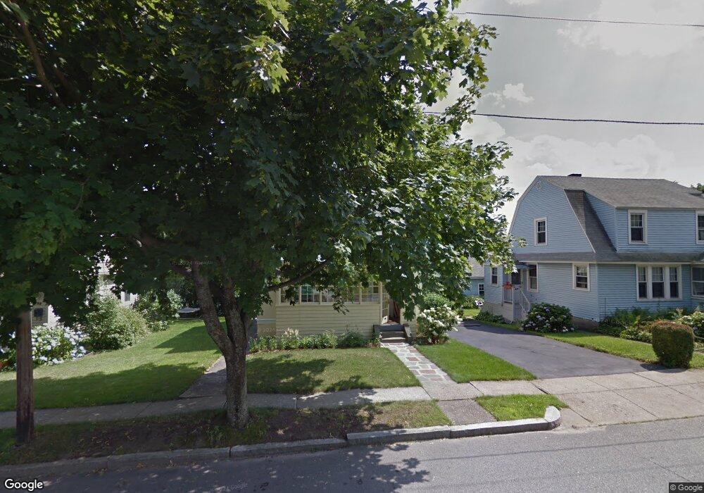
59 Barnard Rd Worcester, MA 01605
North Lincoln Street NeighborhoodEstimated Value: $417,000 - $632,000
3
Beds
2
Baths
1,475
Sq Ft
$325/Sq Ft
Est. Value
About This Home
This home is located at 59 Barnard Rd, Worcester, MA 01605 and is currently estimated at $478,680, approximately $324 per square foot. 59 Barnard Rd is a home located in Worcester County with nearby schools including Jacob Hiatt Magnet School, Chandler Magnet, and Wawecus Road School.
Ownership History
Date
Name
Owned For
Owner Type
Purchase Details
Closed on
Feb 6, 2014
Sold by
Gleeson Maurcie and Gleeson Catherine
Bought by
Gleeson Ret and Gleeson Maurice
Current Estimated Value
Purchase Details
Closed on
Dec 28, 2000
Sold by
Looby Lisa Marie
Bought by
Cardin Eric M and Cardin Amy K
Create a Home Valuation Report for This Property
The Home Valuation Report is an in-depth analysis detailing your home's value as well as a comparison with similar homes in the area
Home Values in the Area
Average Home Value in this Area
Purchase History
| Date | Buyer | Sale Price | Title Company |
|---|---|---|---|
| Gleeson Ret | -- | -- | |
| Cardin Eric M | $230,000 | -- |
Source: Public Records
Tax History Compared to Growth
Tax History
| Year | Tax Paid | Tax Assessment Tax Assessment Total Assessment is a certain percentage of the fair market value that is determined by local assessors to be the total taxable value of land and additions on the property. | Land | Improvement |
|---|---|---|---|---|
| 2025 | $4,494 | $340,700 | $105,400 | $235,300 |
| 2024 | $4,411 | $320,800 | $105,400 | $215,400 |
| 2023 | $4,226 | $294,700 | $91,700 | $203,000 |
| 2022 | $3,883 | $255,300 | $73,300 | $182,000 |
| 2021 | $3,717 | $228,300 | $58,700 | $169,600 |
| 2020 | $3,609 | $212,300 | $58,700 | $153,600 |
| 2019 | $3,470 | $192,800 | $52,800 | $140,000 |
| 2018 | $3,449 | $182,400 | $52,800 | $129,600 |
| 2017 | $3,321 | $172,800 | $52,800 | $120,000 |
| 2016 | $3,289 | $159,600 | $39,800 | $119,800 |
| 2015 | $3,203 | $159,600 | $39,800 | $119,800 |
| 2014 | $3,119 | $159,600 | $39,800 | $119,800 |
Source: Public Records
Map
Nearby Homes
- 55 Barnard Rd
- 63 Barnard Rd
- 51 Barnard Rd
- 67 Barnard Rd
- 54 Burncoat Terrace
- 60 Burncoat Terrace
- 60 Burncoat Terrace Unit Terrace
- 47 Barnard Rd
- 71 Barnard Rd
- 60 Barnard Rd
- 62 Burncoat Terrace
- 58 Barnard Rd
- 64 Barnard Rd
- 43 Barnard Rd
- 75 Barnard Rd
- 50 Barnard Rd
- 68 Barnard Rd
- 72 Barnard Rd
- 48 Barnard Rd
- 64 Burncoat Terrace