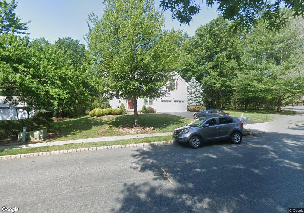
59 Bernard St Somerville, NJ 08876
Estimated Value: $791,000 - $969,000
Studio
--
Bath
2,478
Sq Ft
$356/Sq Ft
Est. Value
About This Home
This home is located at 59 Bernard St, Somerville, NJ 08876 and is currently estimated at $881,637, approximately $355 per square foot. 59 Bernard St is a home located in Somerset County with nearby schools including Whiton Elementary School, Stony Brook School, and Branchburg Central Middle School.
Ownership History
Date
Name
Owned For
Owner Type
Purchase Details
Closed on
Feb 7, 2014
Sold by
Devlin Francis J and Meyer Devlin Michelle
Bought by
Meyer Devlin Michelle R
Current Estimated Value
Purchase Details
Closed on
Jan 12, 1994
Sold by
Norwhich Asso
Bought by
Meyer Devlin Francis and Meyer Devlin Michelle
Home Financials for this Owner
Home Financials are based on the most recent Mortgage that was taken out on this home.
Original Mortgage
$220,000
Interest Rate
7.12%
Create a Home Valuation Report for This Property
The Home Valuation Report is an in-depth analysis detailing your home's value as well as a comparison with similar homes in the area
Home Values in the Area
Average Home Value in this Area
Purchase History
| Date | Buyer | Sale Price | Title Company |
|---|---|---|---|
| Meyer Devlin Michelle R | -- | None Available | |
| Meyer Devlin Francis | $244,000 | -- |
Source: Public Records
Mortgage History
| Date | Status | Borrower | Loan Amount |
|---|---|---|---|
| Closed | Meyer Devlin Francis | $220,000 |
Source: Public Records
Tax History
| Year | Tax Paid | Tax Assessment Tax Assessment Total Assessment is a certain percentage of the fair market value that is determined by local assessors to be the total taxable value of land and additions on the property. | Land | Improvement |
|---|---|---|---|---|
| 2025 | $11,380 | $706,800 | $143,800 | $563,000 |
| 2024 | $11,380 | $630,800 | $143,800 | $487,000 |
| 2023 | $10,891 | $582,100 | $143,800 | $438,300 |
| 2022 | $10,900 | $553,600 | $143,800 | $409,800 |
| 2021 | $10,900 | $515,600 | $143,800 | $371,800 |
| 2020 | $10,670 | $497,900 | $143,800 | $354,100 |
| 2019 | $10,624 | $493,000 | $143,800 | $349,200 |
| 2018 | $10,427 | $482,500 | $143,800 | $338,700 |
| 2017 | $10,308 | $473,700 | $143,800 | $329,900 |
| 2016 | $9,936 | $453,700 | $137,500 | $316,200 |
| 2015 | $9,846 | $450,400 | $130,200 | $320,200 |
| 2014 | $9,567 | $442,900 | $130,200 | $312,700 |
Source: Public Records
Map
Nearby Homes
- 63 Huyler Rd
- 1515 Longley Ct
- 1714 Breckenridge Dr Unit E3
- 1306 Boxwood Dr
- 231 River Rd Unit 231
- 1 N Branch River Rd
- 15 Campbell Ct
- 31 S Davenport St
- 805 Brokaw Ct
- 2801 Doolittle Dr
- 1101 Doolittle Dr
- 39 Dreahook Rd
- 2512 Lindsley Rd
- 45 Dreahook Rd
- 4 Hickory Ln
- 4104 Crawford Ct
- 17 Craft Farm Dr
- 23 Buffalo Hollow Rd
- 731 US Highway 202
- 508 Reading Cir
Your Personal Tour Guide
Ask me questions while you tour the home.