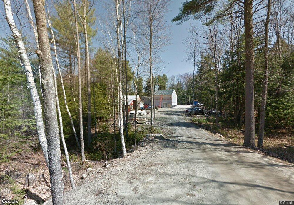
59 Bragdon Rd Freeport, ME 04032
Estimated Value: $509,846 - $639,000
3
Beds
2
Baths
1,848
Sq Ft
$308/Sq Ft
Est. Value
About This Home
This home is located at 59 Bragdon Rd, Freeport, ME 04032 and is currently estimated at $569,462, approximately $308 per square foot. 59 Bragdon Rd is a home with nearby schools including Morse Street School, Mast Landing School, and Freeport Middle School.
Create a Home Valuation Report for This Property
The Home Valuation Report is an in-depth analysis detailing your home's value as well as a comparison with similar homes in the area
Home Values in the Area
Average Home Value in this Area
Tax History
| Year | Tax Paid | Tax Assessment Tax Assessment Total Assessment is a certain percentage of the fair market value that is determined by local assessors to be the total taxable value of land and additions on the property. | Land | Improvement |
|---|---|---|---|---|
| 2025 | $5,041 | $364,000 | $125,200 | $238,800 |
| 2024 | $4,781 | $358,100 | $119,300 | $238,800 |
| 2023 | $4,363 | $317,300 | $106,400 | $210,900 |
| 2022 | $4,191 | $307,000 | $96,100 | $210,900 |
| 2021 | $4,098 | $307,000 | $96,100 | $210,900 |
| 2020 | $3,913 | $279,500 | $89,100 | $190,400 |
| 2019 | $3,748 | $262,100 | $83,900 | $178,200 |
| 2018 | $3,753 | $278,600 | $73,200 | $205,400 |
| 2017 | $4,216 | $282,000 | $71,500 | $210,500 |
| 2016 | $4,059 | $256,900 | $66,200 | $190,700 |
Source: Public Records
Map
Nearby Homes
- 4 Winding Ridge Way
- 5 Winding Ridge Way
- 43 Bragdon Rd
- 71 Bragdon Rd
- 6 Winding Ridge Way
- 7 Winding Ridge Way
- 75 Bragdon Rd
- Map 21 Lot Bragdon Rd
- 12 Bragdon Rd
- 9 Winding Ridge Way
- 86 Bragdon Rd Unit 86 Bragdon Road Free
- 86 Bragdon Rd
- 12 Curtis Rd
- 89 Bragdon Rd
- 9 Ashby
- 11 Sky Ln
- 7 Sky Ln
- 5 Curtis Rd
- 97 Bragdon
- Lot 8 Sky Ln
Your Personal Tour Guide
Ask me questions while you tour the home.