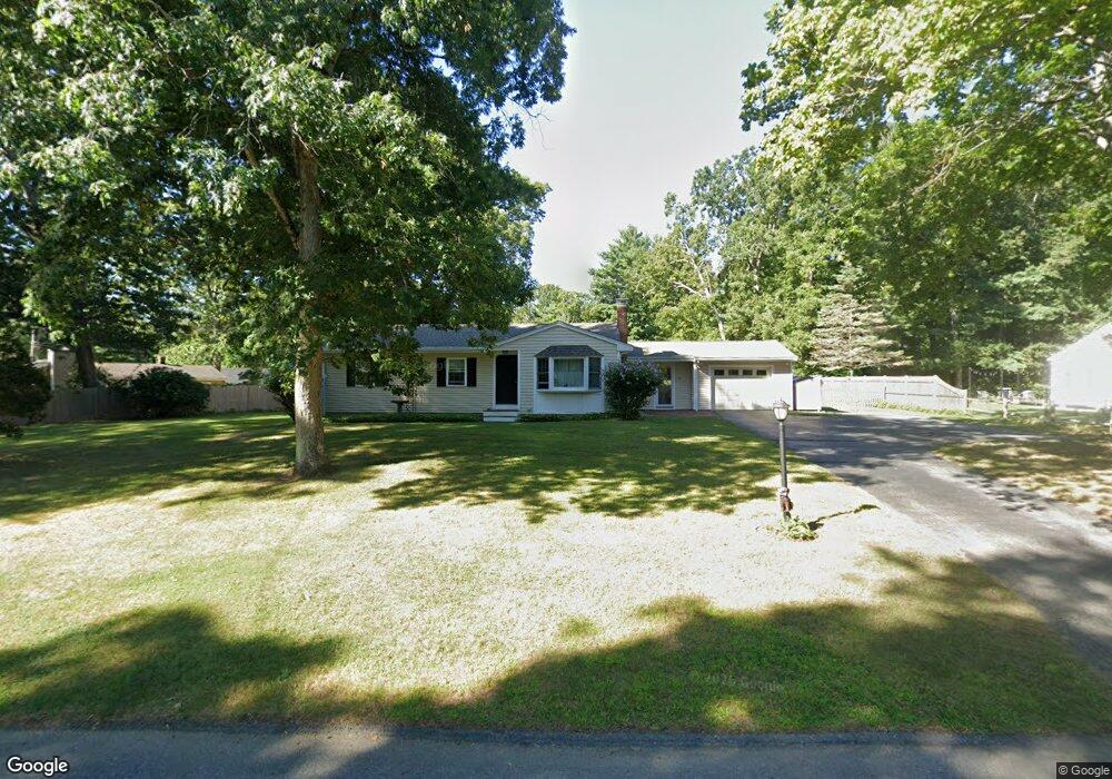
59 Brook Bend Rd Hanover, MA 02339
Estimated Value: $539,000 - $671,000
3
Beds
1
Bath
986
Sq Ft
$623/Sq Ft
Est. Value
About This Home
This home is located at 59 Brook Bend Rd, Hanover, MA 02339 and is currently estimated at $614,760, approximately $623 per square foot. 59 Brook Bend Rd is a home located in Plymouth County with nearby schools including Hanover High School, Cadence Academy Preschool - Hanover, and Norwell KinderCare.
Ownership History
Date
Name
Owned For
Owner Type
Purchase Details
Closed on
Oct 28, 2021
Sold by
Wirtz John P and Wirtz Colleen A
Bought by
Wirtz Eric M
Current Estimated Value
Purchase Details
Closed on
Jul 20, 2005
Sold by
Brook Bend Rt and Collingridge Sandra L
Bought by
Wirtz John P and Wirtz Colleen A
Create a Home Valuation Report for This Property
The Home Valuation Report is an in-depth analysis detailing your home's value as well as a comparison with similar homes in the area
Home Values in the Area
Average Home Value in this Area
Purchase History
| Date | Buyer | Sale Price | Title Company |
|---|---|---|---|
| Wirtz Eric M | -- | None Available | |
| Wirtz John P | $375,000 | -- |
Source: Public Records
Mortgage History
| Date | Status | Borrower | Loan Amount |
|---|---|---|---|
| Previous Owner | Wirtz John P | $50,000 |
Source: Public Records
Map
Nearby Homes
- 85 Brook Bend Rd
- 49 Brook Bend Rd
- 58 Brook Bend Rd
- 66 Brook Bend Rd
- 111 Brook Bend Rd
- 48 Brook Bend Rd
- 39 Brook Bend Rd
- 94 Brook Bend Rd
- 84 Brook Bend Rd
- 102 Brook Bend Rd
- 76 Brook Bend Rd
- 38 Brook Bend Rd
- 27 Brook Bend Rd
- 26 Brook Bend Rd
- 185 Tiffany Rd
- 112 Brook Bend Rd
- 253 East St
- 265 East St
- 241 East St
- 125 Brook Bend Rd
Your Personal Tour Guide
Ask me questions while you tour the home.