59 Brookside Dr New Gloucester, ME 04260
Estimated Value: $390,000 - $534,000
3
Beds
2
Baths
1,816
Sq Ft
$241/Sq Ft
Est. Value
About This Home
This home is located at 59 Brookside Dr, New Gloucester, ME 04260 and is currently estimated at $438,031, approximately $241 per square foot. 59 Brookside Dr is a home located in Cumberland County with nearby schools including Gray-New Gloucester High School.
Ownership History
Date
Name
Owned For
Owner Type
Purchase Details
Closed on
May 22, 2020
Sold by
Thomas Bryan K and Thomas Sara K
Bought by
Atkins Ryelle E and Varnum Christian A
Current Estimated Value
Purchase Details
Closed on
Dec 18, 2007
Sold by
Facchini Chris A
Bought by
Thomas Bryan K and Thomas Sara K
Home Financials for this Owner
Home Financials are based on the most recent Mortgage that was taken out on this home.
Original Mortgage
$216,000
Interest Rate
6.3%
Mortgage Type
Purchase Money Mortgage
Create a Home Valuation Report for This Property
The Home Valuation Report is an in-depth analysis detailing your home's value as well as a comparison with similar homes in the area
Home Values in the Area
Average Home Value in this Area
Purchase History
| Date | Buyer | Sale Price | Title Company |
|---|---|---|---|
| Atkins Ryelle E | -- | None Available | |
| Thomas Bryan K | -- | -- |
Source: Public Records
Mortgage History
| Date | Status | Borrower | Loan Amount |
|---|---|---|---|
| Previous Owner | Thomas Bryan K | $216,000 | |
| Previous Owner | Thomas Bryan K | $22,796 |
Source: Public Records
Tax History
| Year | Tax Paid | Tax Assessment Tax Assessment Total Assessment is a certain percentage of the fair market value that is determined by local assessors to be the total taxable value of land and additions on the property. | Land | Improvement |
|---|---|---|---|---|
| 2025 | $3,164 | $204,515 | $61,840 | $142,675 |
| 2024 | $3,045 | $204,515 | $61,840 | $142,675 |
| 2023 | $2,923 | $204,515 | $61,840 | $142,675 |
| 2022 | $2,822 | $204,515 | $61,840 | $142,675 |
| 2021 | $2,822 | $204,515 | $61,840 | $142,675 |
| 2020 | $2,792 | $204,515 | $61,840 | $142,675 |
| 2019 | $2,783 | $164,700 | $58,800 | $105,900 |
| 2018 | $2,286 | $164,700 | $58,800 | $105,900 |
| 2017 | $2,569 | $164,700 | $58,800 | $105,900 |
| 2016 | $2,421 | $164,700 | $58,800 | $105,900 |
| 2015 | $2,413 | $164,700 | $58,800 | $105,900 |
| 2014 | $2,388 | $164,700 | $58,800 | $105,900 |
| 2013 | $2,215 | $164,700 | $58,800 | $105,900 |
Source: Public Records
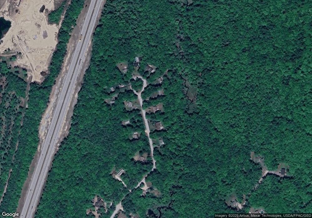
Map
Nearby Homes
- TBD Emmaus Rd
- 14 Golden Way
- 155 & 151 Gloucester Hill Rd
- 86 Skips Way
- 65 Blueberry Ln
- 26 Hemlock Ln
- Lot 21-29 Weymouth Rd
- 4 Chelsey Ln
- Bowdoin Way
- 270 Mayall Rd
- 10-56 C&E Bowdoin Way
- 3 First Mill Dr
- 224 Shaker Rd
- 0 Mayall
- 46-47D Hines Rd & Main St
- Lot 47C Hines Rd
- 27 Bull Run
- 163 Valley Rd
- 17 Callaway Dr Unit 17
- 52 Colley Hill Rd
- 65 Brookside Dr
- 55 Brookside Dr
- 60 Brookside Dr
- 58 Brookside Dr
- 75 Brookside Dr
- 47 Brookside Dr
- 54 Brookside Dr
- 64 Brookside Dr
- 83 Brookside Dr
- 68 Brookside Dr
- 44 Brookside Dr
- 87 Brookside Dr
- 34 Brookside Dr
- 37 Brookside Dr
- 28 Flintlock Ln
- 25 Brookside Dr
- 26 Flintlock Ln
- 333 Bennett Rd
- 15 Brookside Dr
- 27 Flintlock Ln
Your Personal Tour Guide
Ask me questions while you tour the home.