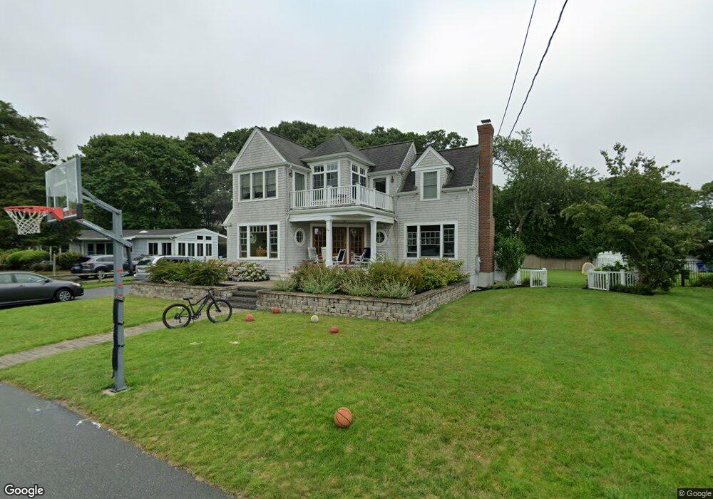
59 Cedar Point Dr Pocasset, MA 02559
Pocasset NeighborhoodEstimated Value: $1,105,000 - $1,265,128
2
Beds
1
Bath
1,001
Sq Ft
$1,200/Sq Ft
Est. Value
About This Home
This home is located at 59 Cedar Point Dr, Pocasset, MA 02559 and is currently estimated at $1,200,782, approximately $1,199 per square foot. 59 Cedar Point Dr is a home located in Barnstable County with nearby schools including Bourne High School and Cadence Academy Preschool - Bourne.
Ownership History
Date
Name
Owned For
Owner Type
Purchase Details
Closed on
Oct 31, 2002
Sold by
Burke Rosemary and Burke Edward J
Bought by
Murphy Brian J
Current Estimated Value
Home Financials for this Owner
Home Financials are based on the most recent Mortgage that was taken out on this home.
Original Mortgage
$382,500
Interest Rate
6.09%
Mortgage Type
Purchase Money Mortgage
Purchase Details
Closed on
Mar 16, 1999
Sold by
Labretto Rt and Labretto Joseph
Bought by
Burke Rosemary
Create a Home Valuation Report for This Property
The Home Valuation Report is an in-depth analysis detailing your home's value as well as a comparison with similar homes in the area
Home Values in the Area
Average Home Value in this Area
Purchase History
| Date | Buyer | Sale Price | Title Company |
|---|---|---|---|
| Murphy Brian J | $425,000 | -- | |
| Murphy Brian J | $425,000 | -- | |
| Burke Rosemary | $100,000 | -- | |
| Burke Rosemary | $100,000 | -- |
Source: Public Records
Mortgage History
| Date | Status | Borrower | Loan Amount |
|---|---|---|---|
| Open | Burke Rosemary | $385,600 | |
| Closed | Burke Rosemary | $382,500 |
Source: Public Records
Tax History Compared to Growth
Tax History
| Year | Tax Paid | Tax Assessment Tax Assessment Total Assessment is a certain percentage of the fair market value that is determined by local assessors to be the total taxable value of land and additions on the property. | Land | Improvement |
|---|---|---|---|---|
| 2025 | $9,670 | $1,238,200 | $724,700 | $513,500 |
| 2024 | $9,169 | $1,143,300 | $690,100 | $453,200 |
| 2023 | $8,864 | $1,006,100 | $610,800 | $395,300 |
| 2022 | $8,653 | $857,600 | $540,500 | $317,100 |
| 2021 | $9,632 | $894,300 | $602,600 | $291,700 |
| 2020 | $9,454 | $880,300 | $596,800 | $283,500 |
| 2019 | $7,962 | $757,600 | $487,200 | $270,400 |
| 2018 | $7,607 | $721,700 | $464,100 | $257,600 |
| 2017 | $7,389 | $717,400 | $459,700 | $257,700 |
| 2016 | $7,218 | $710,400 | $459,700 | $250,700 |
| 2015 | $6,691 | $664,400 | $413,700 | $250,700 |
Source: Public Records
Map
Nearby Homes
- 22 Nairn Rd
- 48 Red Brook Harbor Rd
- 3 Red Brook Pond Dr
- 1094 County Rd
- 171 Bellavista Dr
- 34 Kenwood Rd
- 940 County Rd
- 45 Kenwood Rd
- 75 Winsor Rd
- 10 Squeteague Harbor Rd
- 254 Barlows Landing Rd
- 70 Wings Neck Rd
- 89 Harbor Dr
- 24 Richmond Rd
- 1234 Route 28a
- 1234 Route 28a
- 940 County Rd
- 709 County Rd
- 250 Scraggy Neck Rd
- 14 Navajo Rd
- 55 Cedar Point Dr
- 65 Cedar Point Dr
- 115 Elgin Rd
- 111 Elgin Rd
- 56 Cedar Point Dr
- 51 Cedar Point Dr
- 65 Spruce Dr
- 69 Spruce Dr
- 52 Cedar Point Dr
- 71 Cedar Point Dr
- 59 Spruce Dr
- 119 Elgin Rd
- 119 Elgin Rd
- 119 Elgin Rd
- 119 Elgin Rd
- 47 Cedar Point Dr
- 57 Spruce Dr
- 114 Elgin Rd
- 75 Cedar Point Dr
- 50 Cedar Point Dr