Kensington Place 59 Cluff Rd Unit 72 Salem, NH 03079
Millville NeighborhoodEstimated Value: $359,000 - $402,000
1
Bed
1
Bath
902
Sq Ft
$421/Sq Ft
Est. Value
About This Home
This home is located at 59 Cluff Rd Unit 72, Salem, NH 03079 and is currently estimated at $379,469, approximately $420 per square foot. 59 Cluff Rd Unit 72 is a home located in Rockingham County with nearby schools including William T. Barron Elementary School, Woodbury School, and Salem High School.
Ownership History
Date
Name
Owned For
Owner Type
Purchase Details
Closed on
Oct 28, 2005
Sold by
Kensington Pl Of Salem
Bought by
Weinshel Evan
Current Estimated Value
Home Financials for this Owner
Home Financials are based on the most recent Mortgage that was taken out on this home.
Original Mortgage
$167,920
Outstanding Balance
$90,595
Interest Rate
5.79%
Mortgage Type
Purchase Money Mortgage
Estimated Equity
$288,874
Create a Home Valuation Report for This Property
The Home Valuation Report is an in-depth analysis detailing your home's value as well as a comparison with similar homes in the area
Home Values in the Area
Average Home Value in this Area
Purchase History
| Date | Buyer | Sale Price | Title Company |
|---|---|---|---|
| Weinshel Evan | $209,900 | -- |
Source: Public Records
Mortgage History
| Date | Status | Borrower | Loan Amount |
|---|---|---|---|
| Open | Weinshel Evan | $167,920 |
Source: Public Records
Tax History
| Year | Tax Paid | Tax Assessment Tax Assessment Total Assessment is a certain percentage of the fair market value that is determined by local assessors to be the total taxable value of land and additions on the property. | Land | Improvement |
|---|---|---|---|---|
| 2024 | $4,569 | $259,600 | $0 | $259,600 |
| 2023 | $4,403 | $259,600 | $0 | $259,600 |
| 2022 | $4,167 | $259,600 | $0 | $259,600 |
| 2021 | $4,148 | $259,600 | $0 | $259,600 |
| 2020 | $3,900 | $177,100 | $0 | $177,100 |
| 2019 | $3,893 | $177,100 | $0 | $177,100 |
| 2018 | $3,827 | $177,100 | $0 | $177,100 |
| 2017 | $3,691 | $177,100 | $0 | $177,100 |
| 2016 | $3,618 | $177,100 | $0 | $177,100 |
| 2015 | $3,489 | $163,100 | $0 | $163,100 |
| 2014 | $3,391 | $163,100 | $0 | $163,100 |
| 2013 | $3,337 | $163,100 | $0 | $163,100 |
Source: Public Records
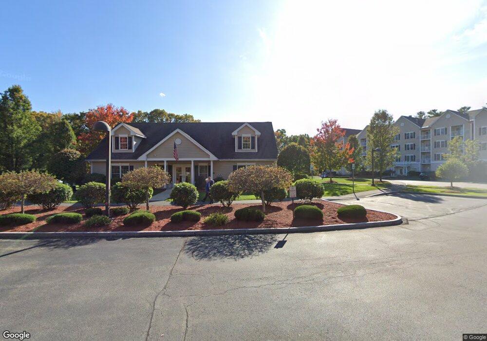
About Kensington Place
Map
Nearby Homes
- 59 Cluff Rd Unit 41
- 11 Tiffany Rd Unit 1
- 12 Braemoor Woods Rd Unit 206
- 10 Braemoor Woods Rd Unit 300
- 99 Cluff Crossing Rd Unit E9
- 99 Cluff Crossing Rd Unit E2
- 99 Cluff Crossing Rd Unit C12
- 4 Mulberry Rd
- 30 Hagop Rd
- 14 Hagop Rd
- 53 Hagop Rd
- 117 Lawrence Rd
- 117 Cluff Crossing Rd Unit 7
- 8 Cole St
- 7 Benning St
- 18 Artisan Dr Unit 401
- 18 Artisan Dr Unit 307
- 18 Artisan Dr Unit 214
- 18 Artisan Dr Unit 207
- 18 Artisan Dr Unit 217
- 59 Cluff Rd Unit 9
- 59 Cluff Rd Unit 88
- 59 Cluff Rd Unit 87
- 59 Cluff Rd Unit 85
- 59 Cluff Rd Unit 84
- 59 Cluff Rd Unit 83
- 59 Cluff Rd Unit 82
- 59 Cluff Rd Unit 81
- 59 Cluff Rd Unit 80
- 59 Cluff Rd Unit 8
- 59 Cluff Rd Unit 79
- 59 Cluff Rd Unit 78
- 59 Cluff Rd Unit 77
- 59 Cluff Rd Unit 76
- 59 Cluff Rd Unit 75
- 59 Cluff Rd Unit 74
- 59 Cluff Rd Unit 73
- 59 Cluff Rd Unit 71
- 59 Cluff Rd Unit 70
- 59 Cluff Rd Unit 69
Your Personal Tour Guide
Ask me questions while you tour the home.