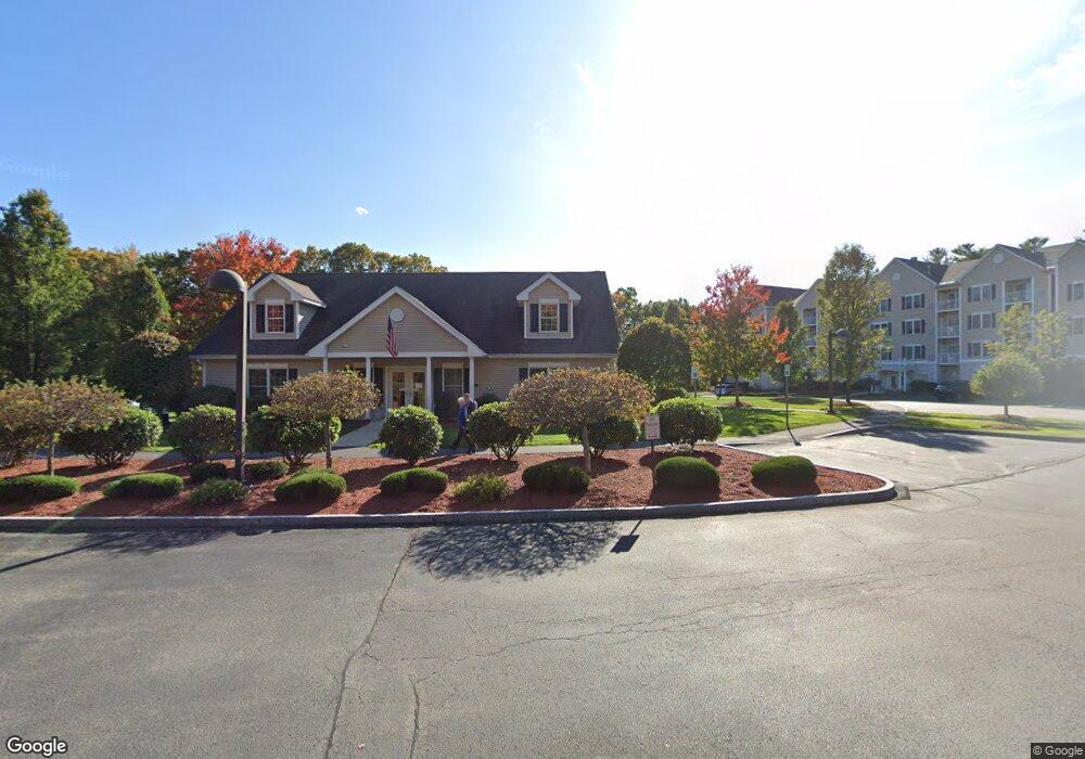
Kensington Place 59 Cluff Rd Unit 79 Salem, NH 03079
Estimated Value: $459,000 - $485,000
2
Beds
2
Baths
1,228
Sq Ft
$382/Sq Ft
Est. Value
About This Home
This home is located at 59 Cluff Rd Unit 79, Salem, NH 03079 and is currently estimated at $469,364, approximately $382 per square foot. 59 Cluff Rd Unit 79 is a home located in Rockingham County with nearby schools including William T. Barron Elementary School, Woodbury School, and Salem High School.
Ownership History
Date
Name
Owned For
Owner Type
Purchase Details
Closed on
Jul 22, 2013
Sold by
Osullivan Deborah A
Bought by
Dao Irt
Current Estimated Value
Purchase Details
Closed on
Nov 6, 2006
Sold by
Kensington Place Of Sa
Bought by
Osullivan Deborah A
Home Financials for this Owner
Home Financials are based on the most recent Mortgage that was taken out on this home.
Original Mortgage
$100,000
Interest Rate
6.47%
Mortgage Type
Purchase Money Mortgage
Create a Home Valuation Report for This Property
The Home Valuation Report is an in-depth analysis detailing your home's value as well as a comparison with similar homes in the area
Purchase History
| Date | Buyer | Sale Price | Title Company |
|---|---|---|---|
| Dao Irt | -- | -- | |
| Osullivan Deborah A | $265,000 | -- |
Source: Public Records
Mortgage History
| Date | Status | Borrower | Loan Amount |
|---|---|---|---|
| Previous Owner | Osullivan Deborah A | $101,000 | |
| Previous Owner | Osullivan Deborah A | $100,000 |
Source: Public Records
Tax History
| Year | Tax Paid | Tax Assessment Tax Assessment Total Assessment is a certain percentage of the fair market value that is determined by local assessors to be the total taxable value of land and additions on the property. | Land | Improvement |
|---|---|---|---|---|
| 2024 | $5,636 | $320,200 | $0 | $320,200 |
| 2023 | $5,431 | $320,200 | $0 | $320,200 |
| 2022 | $5,139 | $320,200 | $0 | $320,200 |
| 2021 | $5,117 | $320,200 | $0 | $320,200 |
| 2020 | $4,842 | $219,900 | $0 | $219,900 |
| 2019 | $4,833 | $219,900 | $0 | $219,900 |
| 2018 | $4,752 | $219,900 | $0 | $219,900 |
| 2017 | $4,583 | $219,900 | $0 | $219,900 |
| 2016 | $4,493 | $219,900 | $0 | $219,900 |
| 2015 | $4,438 | $207,500 | $0 | $207,500 |
| 2014 | $4,314 | $207,500 | $0 | $207,500 |
| 2013 | $4,245 | $207,500 | $0 | $207,500 |
Source: Public Records
About Kensington Place
Map
Nearby Homes
- 59 Cluff Rd Unit 80
- 59 Cluff Rd Unit 62
- 11 Tiffany Rd Unit 1
- 14 Tiffany Rd Unit 6
- 10 Braemoor Woods Rd Unit 401
- 99 Cluff Crossing Rd Unit E9
- 99 Cluff Crossing Rd Unit C12
- 14 Hagop Rd
- 53 Hagop Rd
- 117 Cluff Crossing Rd Unit 7
- 20 Williams St
- 7 Benning St
- 18 Shepard Ave
- 18 Artisan Dr Unit 307
- 18 Artisan Dr Unit 401
- 18 Artisan Dr Unit 505
- 18 Artisan Dr Unit 207
- 18 Artisan Dr Unit 217
- 5 Sally Sweets Way Unit 128
- 50 Haigh Ave
- 59 Cluff Rd Unit 9
- 59 Cluff Rd Unit 88
- 59 Cluff Rd Unit 87
- 59 Cluff Rd Unit 85
- 59 Cluff Rd Unit 84
- 59 Cluff Rd Unit 83
- 59 Cluff Rd Unit 82
- 59 Cluff Rd Unit 81
- 59 Cluff Rd Unit 8
- 59 Cluff Rd Unit 78
- 59 Cluff Rd Unit 77
- 59 Cluff Rd Unit 76
- 59 Cluff Rd Unit 75
- 59 Cluff Rd Unit 74
- 59 Cluff Rd Unit 73
- 59 Cluff Rd Unit 72
- 59 Cluff Rd Unit 71
- 59 Cluff Rd Unit 70
- 59 Cluff Rd Unit 69
- 59 Cluff Rd Unit 68
Your Personal Tour Guide
Ask me questions while you tour the home.