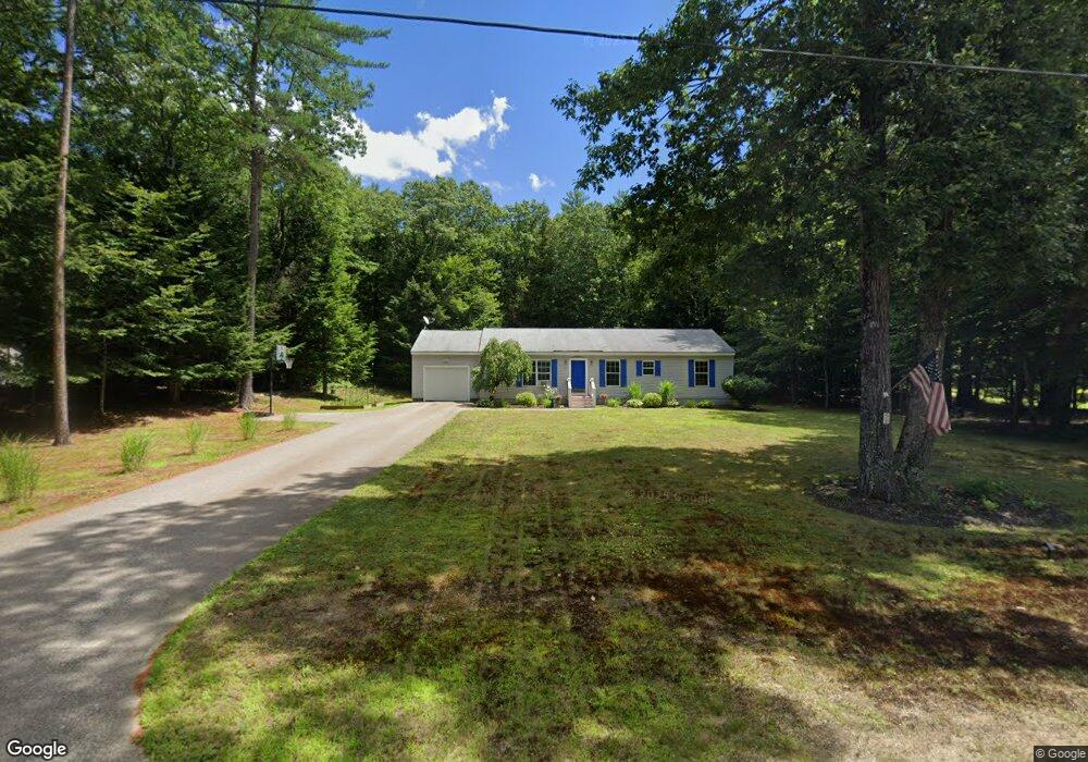
59 Colony Ln New Hampton, NH 03256
Estimated Value: $408,000 - $427,000
3
Beds
2
Baths
1,456
Sq Ft
$287/Sq Ft
Est. Value
About This Home
This home is located at 59 Colony Ln, New Hampton, NH 03256 and is currently estimated at $417,695, approximately $286 per square foot. 59 Colony Ln is a home with nearby schools including New Hampton Community School, A Lakes Region Montessori, and New Hampton School.
Create a Home Valuation Report for This Property
The Home Valuation Report is an in-depth analysis detailing your home's value as well as a comparison with similar homes in the area
Home Values in the Area
Average Home Value in this Area
Tax History
| Year | Tax Paid | Tax Assessment Tax Assessment Total Assessment is a certain percentage of the fair market value that is determined by local assessors to be the total taxable value of land and additions on the property. | Land | Improvement |
|---|---|---|---|---|
| 2024 | $4,355 | $328,700 | $130,400 | $198,300 |
| 2023 | $4,013 | $328,700 | $130,400 | $198,300 |
| 2022 | $3,985 | $205,500 | $60,200 | $145,300 |
| 2021 | $3,851 | $205,500 | $60,200 | $145,300 |
| 2020 | $3,689 | $205,500 | $60,200 | $145,300 |
| 2019 | $3,954 | $205,500 | $60,200 | $145,300 |
| 2015 | $3,408 | $187,350 | $49,550 | $137,800 |
Source: Public Records
Map
Nearby Homes
- 21 Mansfield Woods Way
- 82 Jenness Hill Rd
- 112 Town House Rd
- 63 Mansfield Woods Way
- Lot 7 Lindsay Ln
- Lot 5 Lindsay Ln
- 571 New Hampshire 104
- 121 Riverside Dr
- 00 Peaked Hill Rd Unit 7.1, 7.2, 7.3, 7.4,
- 94 Mandi Ln
- R3 Lot 30 Gordon Hill Rd
- 12 Peaked Hill Rd
- 114 Ledgewood Terrace
- 862 Mayhew Turnpike Unit 16
- 862 Mayhew Turnpike Unit 13
- 283 River St
- 35 Pinnacle Ridge Rd
- 15-B Wildflower Ln
- 447 Nh Route 104
- 82 Edgerly School Rd
Your Personal Tour Guide
Ask me questions while you tour the home.