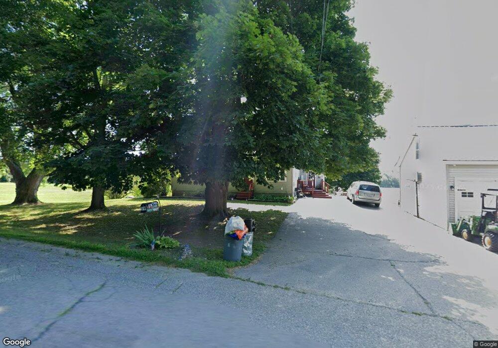
59 Crosby Rd Albion, ME 04910
Estimated Value: $271,078 - $345,000
3
Beds
1
Bath
1,320
Sq Ft
$242/Sq Ft
Est. Value
About This Home
This home is located at 59 Crosby Rd, Albion, ME 04910 and is currently estimated at $320,020, approximately $242 per square foot. 59 Crosby Rd is a home located in Kennebec County with nearby schools including Lawrence High School.
Ownership History
Date
Name
Owned For
Owner Type
Purchase Details
Closed on
Sep 4, 2019
Sold by
Doore Brooke E
Bought by
Clark Thomas D
Current Estimated Value
Home Financials for this Owner
Home Financials are based on the most recent Mortgage that was taken out on this home.
Original Mortgage
$144,949
Outstanding Balance
$127,223
Interest Rate
3.7%
Mortgage Type
New Conventional
Estimated Equity
$192,797
Purchase Details
Closed on
Jul 25, 2014
Sold by
Doore Peter D
Bought by
Bennett Brooke E and Doore Brook E
Purchase Details
Closed on
Mar 27, 2007
Sold by
Bennett Ora D
Bought by
Doore Peter D and Doore Brooke E
Create a Home Valuation Report for This Property
The Home Valuation Report is an in-depth analysis detailing your home's value as well as a comparison with similar homes in the area
Home Values in the Area
Average Home Value in this Area
Purchase History
| Date | Buyer | Sale Price | Title Company |
|---|---|---|---|
| Clark Thomas D | -- | -- | |
| Bennett Brooke E | -- | -- | |
| Doore Peter D | -- | -- |
Source: Public Records
Mortgage History
| Date | Status | Borrower | Loan Amount |
|---|---|---|---|
| Open | Clark Thomas D | $144,949 |
Source: Public Records
Tax History Compared to Growth
Tax History
| Year | Tax Paid | Tax Assessment Tax Assessment Total Assessment is a certain percentage of the fair market value that is determined by local assessors to be the total taxable value of land and additions on the property. | Land | Improvement |
|---|---|---|---|---|
| 2024 | $3,130 | $200,000 | $27,400 | $172,600 |
| 2023 | $2,850 | $200,000 | $27,400 | $172,600 |
| 2022 | $2,532 | $152,500 | $20,900 | $131,600 |
| 2021 | $2,684 | $152,500 | $20,900 | $131,600 |
| 2020 | $2,676 | $152,500 | $20,900 | $131,600 |
| 2019 | $2,539 | $152,500 | $20,900 | $131,600 |
| 2018 | $2,486 | $152,500 | $20,900 | $131,600 |
| 2017 | $2,440 | $152,500 | $20,900 | $131,600 |
| 2016 | $2,402 | $152,500 | $20,900 | $131,600 |
| 2015 | $2,364 | $152,500 | $20,900 | $131,600 |
| 2014 | $2,288 | $152,500 | $20,900 | $131,600 |
| 2013 | $2,211 | $152,500 | $20,900 | $131,600 |
Source: Public Records
Map
Nearby Homes
- 61 Pond Rd
- 253 Benton Rd
- Lot #58 S Vigue Shore Rd
- 118 Marden Shore Rd
- TBD Pond Rd
- 17 Main St
- 26 Unity Rd
- 45 Marden Shore Rd
- 187 Richards Rd
- 773 China Rd
- 35 Abbott Rd
- 498 Morrill Rd
- 0 Hanscom Rd
- 436 N Pond Rd
- 360 Nowell Rd
- 60 Danforth Rd
- 257 Pleasant View Ridge Rd
- 4 Willis Rd
- 88 Drake Hill Rd
- 68 Parmenter Terrace
- 79 Crosby Rd
- 54 Crosby Rd
- 84 Crosby Rd
- 88 Crosby Rd
- 0 Crosby Rd
- 20 Crosby Rd
- 100 Crosby Rd
- 0 Winslow Rd
- 116 Crosby Rd
- 0 Pond Rd Unit 233829
- 0 Pond Rd Unit 504691
- 0 Pond Rd Unit 1051643
- 0 Pond Rd Unit 1150378
- 347 Winslow Rd
- 348 Winslow Rd
- 136 Crosby Rd
- 128 Winslow Rd
- 144 Crosby Rd
- 236 Winslow Rd
- 226 Winslow Rd