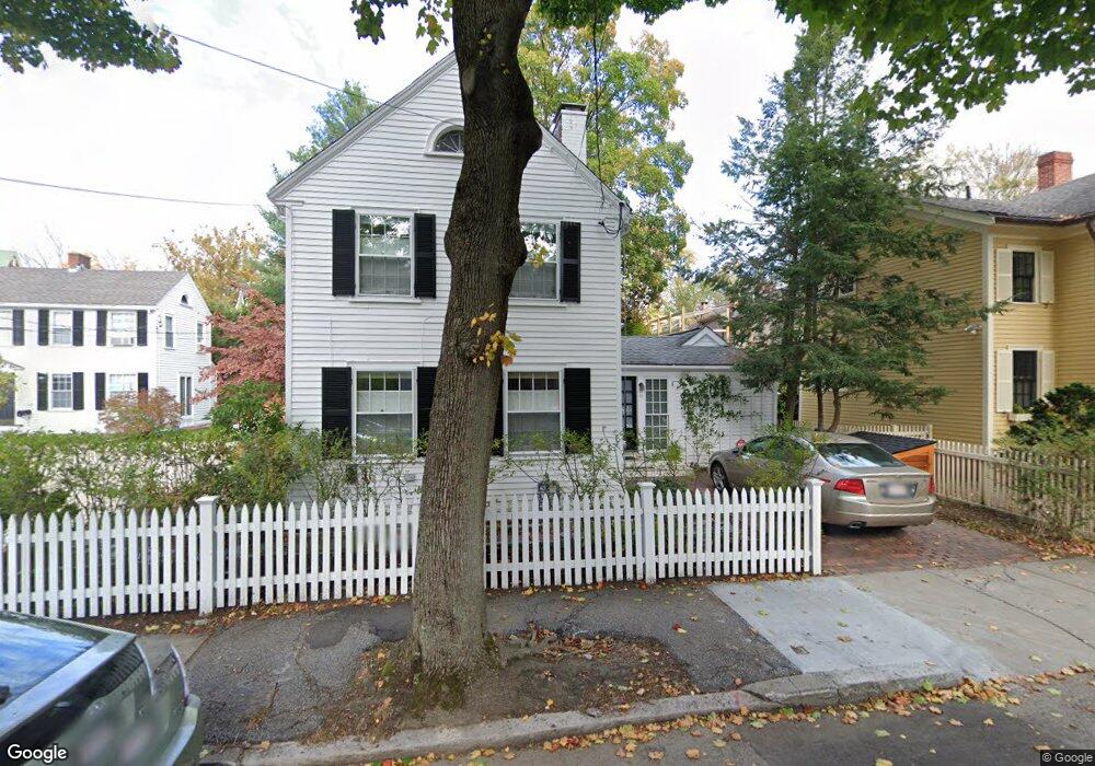
59 Foster St Cambridge, MA 02138
West Cambridge NeighborhoodEstimated Value: $1,820,000 - $2,622,000
3
Beds
2
Baths
1,367
Sq Ft
$1,622/Sq Ft
Est. Value
About This Home
This home is located at 59 Foster St, Cambridge, MA 02138 and is currently estimated at $2,217,794, approximately $1,622 per square foot. 59 Foster St is a home located in Middlesex County with nearby schools including St Peter School, Cambridge Montessori School, and Shady Hill School.
Ownership History
Date
Name
Owned For
Owner Type
Purchase Details
Closed on
Aug 3, 2009
Sold by
Bloomfield Jane Carey
Bought by
59 Foster St Rt and Fishman Carol L
Current Estimated Value
Home Financials for this Owner
Home Financials are based on the most recent Mortgage that was taken out on this home.
Original Mortgage
$250,000
Outstanding Balance
$159,394
Interest Rate
4.86%
Estimated Equity
$2,058,400
Purchase Details
Closed on
May 19, 2000
Sold by
Googins W Robson and Regina Googins M
Bought by
Bloomfield Jane C
Home Financials for this Owner
Home Financials are based on the most recent Mortgage that was taken out on this home.
Original Mortgage
$200,000
Interest Rate
8.19%
Mortgage Type
Purchase Money Mortgage
Purchase Details
Closed on
Apr 15, 1999
Sold by
Reurs Mary A
Bought by
Googins W Robson and Regina Googins M
Create a Home Valuation Report for This Property
The Home Valuation Report is an in-depth analysis detailing your home's value as well as a comparison with similar homes in the area
Home Values in the Area
Average Home Value in this Area
Purchase History
| Date | Buyer | Sale Price | Title Company |
|---|---|---|---|
| 59 Foster St Rt | $955,000 | -- | |
| Bloomfield Jane C | $550,000 | -- | |
| Googins W Robson | $460,000 | -- |
Source: Public Records
Mortgage History
| Date | Status | Borrower | Loan Amount |
|---|---|---|---|
| Open | Googins W Robson | $250,000 | |
| Previous Owner | Googins W Robson | $178,000 | |
| Previous Owner | Googins W Robson | $198,500 | |
| Previous Owner | Googins W Robson | $200,000 |
Source: Public Records
Tax History Compared to Growth
Tax History
| Year | Tax Paid | Tax Assessment Tax Assessment Total Assessment is a certain percentage of the fair market value that is determined by local assessors to be the total taxable value of land and additions on the property. | Land | Improvement |
|---|---|---|---|---|
| 2025 | $11,011 | $1,734,000 | $907,100 | $826,900 |
| 2024 | $10,053 | $1,698,200 | $906,500 | $791,700 |
| 2023 | $9,195 | $1,569,100 | $874,600 | $694,500 |
| 2022 | $8,751 | $1,478,200 | $863,100 | $615,100 |
| 2021 | $8,320 | $1,422,200 | $850,000 | $572,200 |
| 2020 | $7,883 | $1,371,000 | $828,700 | $542,300 |
| 2019 | $7,335 | $1,234,800 | $726,700 | $508,100 |
| 2018 | $5,649 | $1,213,900 | $722,500 | $491,400 |
| 2017 | $7,712 | $1,188,300 | $722,500 | $465,800 |
| 2016 | $7,416 | $1,061,000 | $635,300 | $425,700 |
| 2015 | $7,546 | $965,000 | $584,400 | $380,600 |
| 2014 | $7,598 | $906,700 | $531,200 | $375,500 |
Source: Public Records
Map
Nearby Homes
- 11 Brown St
- 20 Maynard Place
- 15 Hubbard Park Rd
- 48 Hubbard Park Rd
- 1010 Memorial Dr Unit 7D&E
- 153 Brattle St
- 32 Hawthorn St
- 3 Berkeley Place
- 158 Brattle St
- 12 Berkeley St
- 34 Ash St Unit 204
- 988 Memorial Dr Unit 386
- 5 Brewer St Unit 5
- 22 Concord Ave Unit 10
- 172 Brattle St
- 14 Concord Ave Unit 810/814
- 985 Memorial Dr Unit 603
- 12 Ash Street Place
- 983 Memorial Dr Unit 502
- 984 Memorial Dr Unit 984-503