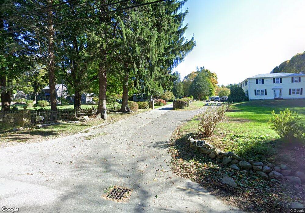
59 Grove St Scituate, MA 02066
Estimated Value: $880,000 - $1,403,000
4
Beds
3
Baths
3,639
Sq Ft
$315/Sq Ft
Est. Value
About This Home
This home is located at 59 Grove St, Scituate, MA 02066 and is currently estimated at $1,146,105, approximately $314 per square foot. 59 Grove St is a home located in Plymouth County with nearby schools including Cushing Elementary School, Lester J. Gates Middle School, and Scituate High School.
Ownership History
Date
Name
Owned For
Owner Type
Purchase Details
Closed on
Dec 13, 2025
Sold by
Sutton Rt and Bowen
Bought by
Ditommaso Eric
Current Estimated Value
Purchase Details
Closed on
Dec 29, 2004
Sold by
Bowen Edward K
Bought by
Sutton Rt and Bowen-Ditommaso
Create a Home Valuation Report for This Property
The Home Valuation Report is an in-depth analysis detailing your home's value as well as a comparison with similar homes in the area
Home Values in the Area
Average Home Value in this Area
Purchase History
| Date | Buyer | Sale Price | Title Company |
|---|---|---|---|
| Ditommaso Eric | -- | -- | |
| Sutton Rt | -- | -- |
Source: Public Records
Mortgage History
| Date | Status | Borrower | Loan Amount |
|---|---|---|---|
| Previous Owner | Sutton Rt | $155,000 | |
| Previous Owner | Sutton Rt | $133,000 | |
| Previous Owner | Sutton Rt | $125,000 | |
| Previous Owner | Sutton Rt | $105,000 |
Source: Public Records
Tax History
| Year | Tax Paid | Tax Assessment Tax Assessment Total Assessment is a certain percentage of the fair market value that is determined by local assessors to be the total taxable value of land and additions on the property. | Land | Improvement |
|---|---|---|---|---|
| 2025 | $7,293 | $730,000 | $403,800 | $326,200 |
| 2024 | $7,300 | $704,600 | $367,000 | $337,600 |
| 2023 | $7,270 | $651,500 | $334,900 | $316,600 |
| 2022 | $7,270 | $576,100 | $293,800 | $282,300 |
| 2021 | $6,881 | $534,800 | $279,800 | $255,000 |
| 2020 | $6,729 | $523,500 | $269,000 | $254,500 |
| 2019 | $6,465 | $515,000 | $263,800 | $251,200 |
| 2018 | $5,641 | $542,100 | $283,200 | $258,900 |
| 2017 | $7,241 | $513,900 | $257,500 | $256,400 |
| 2016 | $6,955 | $491,900 | $244,600 | $247,300 |
| 2015 | $6,275 | $479,000 | $231,700 | $247,300 |
Source: Public Records
Map
Nearby Homes
- 627 First Parish Rd
- 11 Forest Ln
- 9 Forest Ln Unit 9
- 453 Clapp Rd
- 449 Clapp Rd
- 451 Clapp Rd
- 453 - 455 Clapp Rd
- 327 Country Way
- 49 Whittier Dr
- 124 Captain Peirce Rd
- 2 Webster Farm Way
- 0 Bates Ln (Lot E Kevin's Way) Unit 73419598
- 629 Country Way
- 701 Country Way
- 34 Cudworth Rd
- 74 Branch St Unit 15
- 293 Cross St
- 20 Grace Way Unit 20
- 6 Grace Way Unit 6
- 27 Grace Way
Your Personal Tour Guide
Ask me questions while you tour the home.