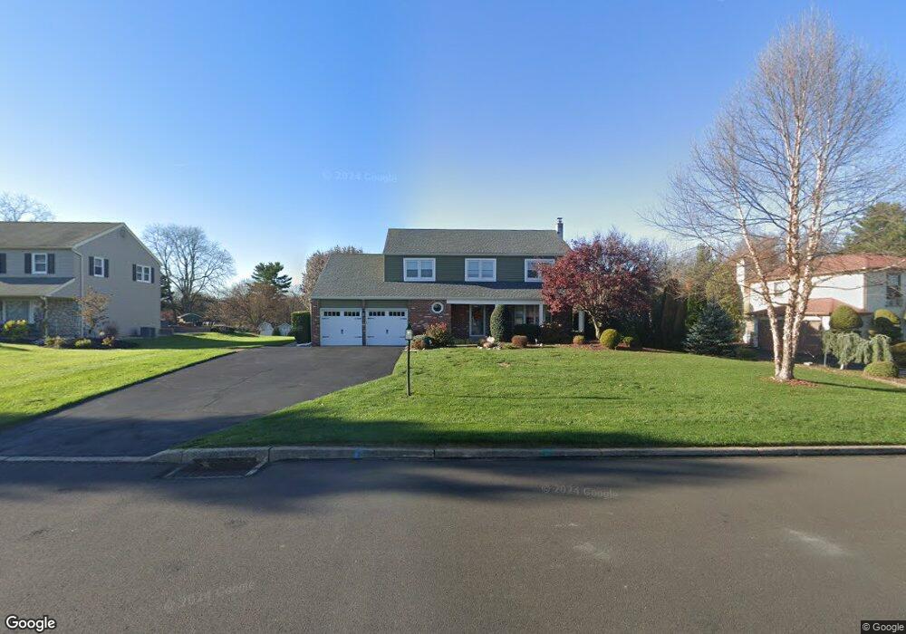
59 Hampton Dr Southampton, PA 18966
Estimated Value: $841,000 - $942,000
4
Beds
3
Baths
3,295
Sq Ft
$272/Sq Ft
Est. Value
About This Home
This home is located at 59 Hampton Dr, Southampton, PA 18966 and is currently estimated at $896,998, approximately $272 per square foot. 59 Hampton Dr is a home located in Bucks County with nearby schools including Maureen M. Welch Elementary School, Richboro Middle School, and Council Rock High School - South.
Ownership History
Date
Name
Owned For
Owner Type
Purchase Details
Closed on
Jul 30, 1999
Sold by
Odonnell Thomas and Odonnell Sharon K
Bought by
Dipaolo Louis A and Dipaolo Kathleen A
Current Estimated Value
Home Financials for this Owner
Home Financials are based on the most recent Mortgage that was taken out on this home.
Original Mortgage
$221,250
Outstanding Balance
$63,033
Interest Rate
7.54%
Estimated Equity
$833,965
Purchase Details
Closed on
Dec 6, 1983
Bought by
Odonnell Thomas and Odonnell Sharon K
Create a Home Valuation Report for This Property
The Home Valuation Report is an in-depth analysis detailing your home's value as well as a comparison with similar homes in the area
Home Values in the Area
Average Home Value in this Area
Purchase History
| Date | Buyer | Sale Price | Title Company |
|---|---|---|---|
| Dipaolo Louis A | $295,000 | -- | |
| Odonnell Thomas | $33,500 | -- |
Source: Public Records
Mortgage History
| Date | Status | Borrower | Loan Amount |
|---|---|---|---|
| Open | Dipaolo Louis A | $221,250 | |
| Closed | Dipaolo Louis A | $29,500 |
Source: Public Records
Tax History Compared to Growth
Tax History
| Year | Tax Paid | Tax Assessment Tax Assessment Total Assessment is a certain percentage of the fair market value that is determined by local assessors to be the total taxable value of land and additions on the property. | Land | Improvement |
|---|---|---|---|---|
| 2025 | $10,324 | $53,600 | $9,480 | $44,120 |
| 2024 | $10,324 | $53,600 | $9,480 | $44,120 |
| 2023 | $9,730 | $53,600 | $9,480 | $44,120 |
| 2022 | $9,641 | $53,600 | $9,480 | $44,120 |
| 2021 | $9,336 | $53,600 | $9,480 | $44,120 |
| 2020 | $9,126 | $53,600 | $9,480 | $44,120 |
| 2019 | $8,735 | $53,600 | $9,480 | $44,120 |
| 2018 | $8,580 | $53,600 | $9,480 | $44,120 |
| 2017 | $8,249 | $53,600 | $9,480 | $44,120 |
| 2016 | $8,249 | $53,600 | $9,480 | $44,120 |
| 2015 | -- | $53,600 | $9,480 | $44,120 |
| 2014 | -- | $53,600 | $9,480 | $44,120 |
Source: Public Records
Map
Nearby Homes
- 290 Hatboro Rd
- 3 Shady Pines Dr
- 105 Edwards Dr
- 23 Oxford Dr
- 223 Cecelia Acres Dr
- 636 Almshouse Rd
- 55 Mount Pleasant Dr
- 34 Acorn Dr
- 61 Legacy Oaks Dr Unit 62
- 64 Legacy Oaks Dr Unit 81
- 54 Legacy Oaks Dr Unit 94
- 29 Devon Rd
- 47 Creek Rd
- 18 Lacey Ln
- 8 Lacey Ln
- 448 W Bristol Rd
- 249 New Rd
- 21 Spring Mill Dr Unit 12
- 59 Parry Way
- The Addis Plan at The Reserve at Spring Mill