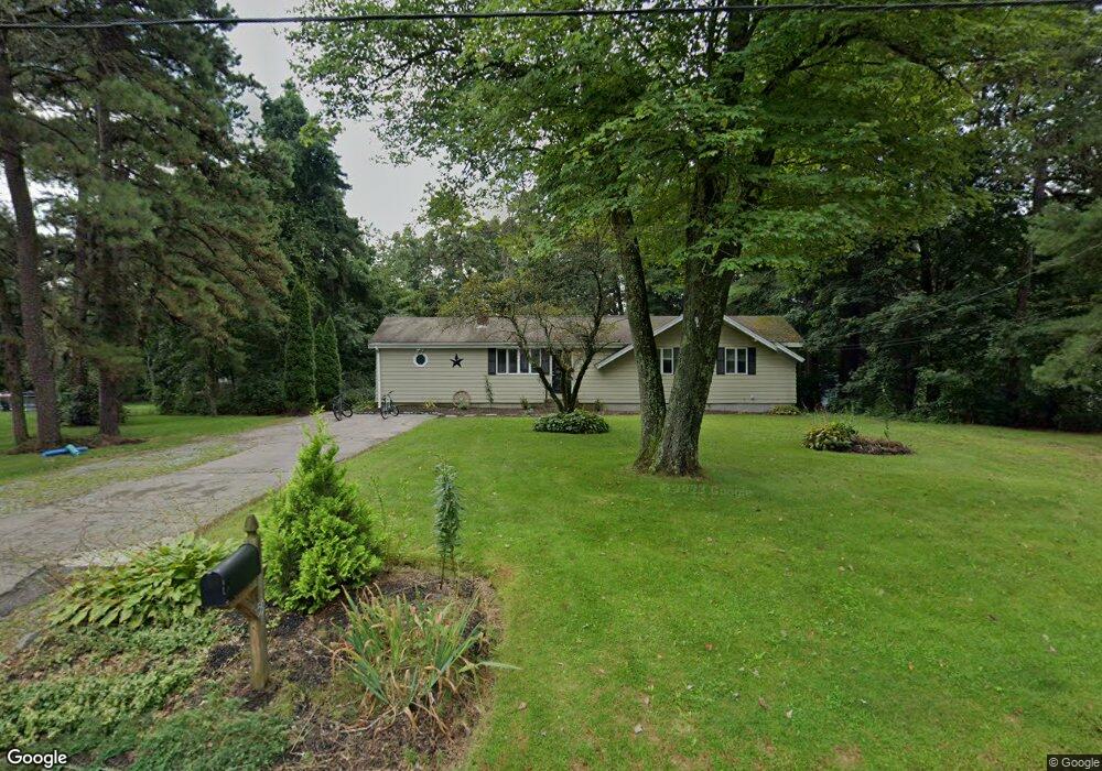
59 Harvard Ln Wrentham, MA 02093
Estimated Value: $616,000 - $642,000
3
Beds
2
Baths
1,584
Sq Ft
$397/Sq Ft
Est. Value
About This Home
This home is located at 59 Harvard Ln, Wrentham, MA 02093 and is currently estimated at $629,507, approximately $397 per square foot. 59 Harvard Ln is a home located in Norfolk County with nearby schools including Delaney Elementary School and Charles E Roderick.
Ownership History
Date
Name
Owned For
Owner Type
Purchase Details
Closed on
Aug 30, 2006
Sold by
Mcgill Amy P and Mcgill Hugh V
Bought by
Miner Cheryl Anne
Current Estimated Value
Home Financials for this Owner
Home Financials are based on the most recent Mortgage that was taken out on this home.
Original Mortgage
$215,000
Outstanding Balance
$130,238
Interest Rate
6.83%
Mortgage Type
Purchase Money Mortgage
Estimated Equity
$499,269
Create a Home Valuation Report for This Property
The Home Valuation Report is an in-depth analysis detailing your home's value as well as a comparison with similar homes in the area
Home Values in the Area
Average Home Value in this Area
Purchase History
| Date | Buyer | Sale Price | Title Company |
|---|---|---|---|
| Miner Cheryl Anne | $365,000 | -- |
Source: Public Records
Mortgage History
| Date | Status | Borrower | Loan Amount |
|---|---|---|---|
| Open | Miner Cheryl Anne | $215,000 |
Source: Public Records
Tax History Compared to Growth
Tax History
| Year | Tax Paid | Tax Assessment Tax Assessment Total Assessment is a certain percentage of the fair market value that is determined by local assessors to be the total taxable value of land and additions on the property. | Land | Improvement |
|---|---|---|---|---|
| 2025 | $6,464 | $557,700 | $327,100 | $230,600 |
| 2024 | $6,133 | $511,100 | $332,100 | $179,000 |
| 2023 | $5,955 | $471,900 | $308,800 | $163,100 |
| 2022 | $5,467 | $399,900 | $249,700 | $150,200 |
| 2021 | $5,234 | $372,000 | $228,900 | $143,100 |
| 2020 | $4,798 | $336,700 | $198,500 | $138,200 |
| 2019 | $4,609 | $326,400 | $190,600 | $135,800 |
| 2018 | $4,776 | $335,400 | $190,700 | $144,700 |
| 2017 | $4,510 | $316,500 | $187,000 | $129,500 |
| 2016 | $4,431 | $310,300 | $181,600 | $128,700 |
| 2015 | $4,236 | $282,800 | $174,600 | $108,200 |
| 2014 | $4,166 | $272,100 | $167,900 | $104,200 |
Source: Public Records
Map
Nearby Homes
- 570 Franklin St
- 50 Reed Fulton Ave Unit Lot 61
- 10 Nature View Dr
- 15 Nature View Dr
- 246 Forest Grove Ave
- 45 Joshua Rd
- 131 Creek St Unit 7
- 270 Dedham St
- 1 Lorraine Metcalf Dr
- 3 Oak Rd
- 11 Earle Stewart Ln
- Lot 3 - 14 Earle Stewart Ln
- 45 King St
- Lot 1 - Blueberry 2 Car Plan at King Philip Estates
- Lot 8 - Blueberry 2 Car Plan at King Philip Estates
- Lot 5 - Hughes 2 car Plan at King Philip Estates
- Lot 6 - Blueberry 3 Car Plan at King Philip Estates
- Lot 2 - Camden 2 Car Plan at King Philip Estates
- Lot 7 - Cedar Plan at King Philip Estates
- Lot 4 - Hemingway 2 Car Plan at King Philip Estates