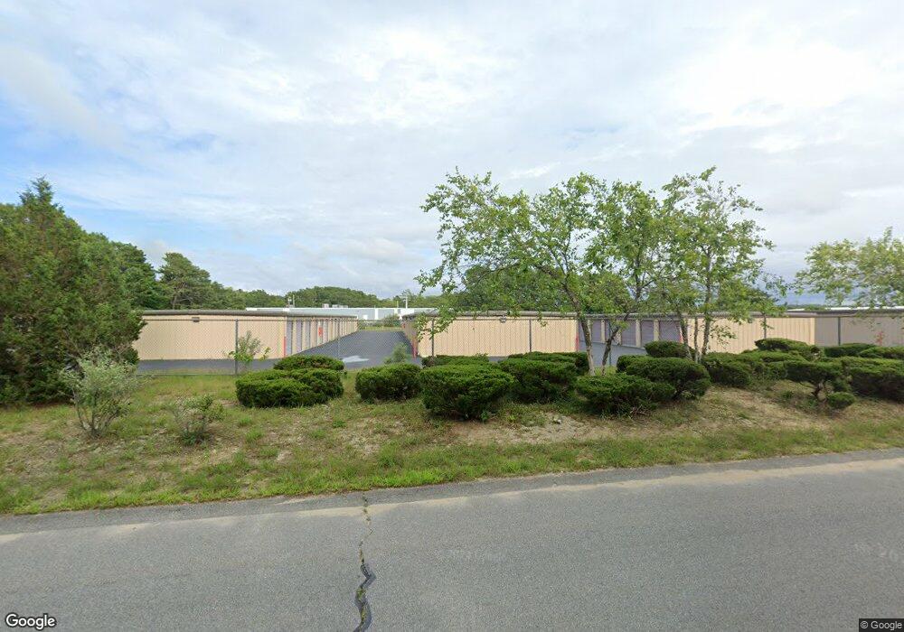
59 Jonathan Bourne Dr Pocasset, MA 2559
Pocasset Neighborhood
--
Bed
--
Bath
--
Sq Ft
2.27
Acres
About This Home
This home is located at 59 Jonathan Bourne Dr, Pocasset, MA 2559. 59 Jonathan Bourne Dr is a home located in Barnstable County with nearby schools including Bourne High School, Cadence Academy Preschool - Bourne, and St Margaret Regional School.
Ownership History
Date
Name
Owned For
Owner Type
Purchase Details
Closed on
Dec 13, 2021
Sold by
Guardian Storage Pocasset
Bought by
Mhc 142 Bourne Ma Llc
Home Financials for this Owner
Home Financials are based on the most recent Mortgage that was taken out on this home.
Original Mortgage
$8,512,000
Outstanding Balance
$7,794,371
Interest Rate
3.09%
Mortgage Type
Purchase Money Mortgage
Purchase Details
Closed on
May 18, 2020
Sold by
Yadisernia Edward J and Yadisernia Janice
Bought by
Guardian Storage Pocasset
Create a Home Valuation Report for This Property
The Home Valuation Report is an in-depth analysis detailing your home's value as well as a comparison with similar homes in the area
Home Values in the Area
Average Home Value in this Area
Purchase History
| Date | Buyer | Sale Price | Title Company |
|---|---|---|---|
| Mhc 142 Bourne Ma Llc | $5,930,000 | None Available | |
| Guardian Storage Pocasset | -- | None Available |
Source: Public Records
Mortgage History
| Date | Status | Borrower | Loan Amount |
|---|---|---|---|
| Open | Mhc 142 Bourne Ma Llc | $8,512,000 |
Source: Public Records
Tax History Compared to Growth
Tax History
| Year | Tax Paid | Tax Assessment Tax Assessment Total Assessment is a certain percentage of the fair market value that is determined by local assessors to be the total taxable value of land and additions on the property. | Land | Improvement |
|---|---|---|---|---|
| 2025 | $43,752 | $5,602,000 | $1,086,700 | $4,515,300 |
| 2024 | $43,223 | $5,389,400 | $1,034,900 | $4,354,500 |
| 2023 | $29,128 | $3,306,200 | $995,100 | $2,311,100 |
| 2022 | $12,757 | $1,264,300 | $631,800 | $632,500 |
| 2021 | $13,273 | $1,232,400 | $613,400 | $619,000 |
| 2020 | $13,082 | $1,218,100 | $601,400 | $616,700 |
| 2019 | $12,544 | $1,193,500 | $589,600 | $603,900 |
| 2018 | $12,127 | $1,150,600 | $566,900 | $583,700 |
| 2017 | $11,770 | $1,142,700 | $561,200 | $581,500 |
| 2016 | $11,735 | $1,155,000 | $561,200 | $593,800 |
| 2015 | $11,631 | $1,155,000 | $561,200 | $593,800 |
Source: Public Records
Map
Nearby Homes
- 55 Jonathan Bourne Dr
- 55 Jonathan Bourne Dr
- 28 Spinnaker Ln
- 53 Portside Dr
- 53 Portside Dr Unit C
- 30 Spinnaker Ln
- 50 Portside Dr Unit C
- 50 Portside Dr Unit A
- 50 Portside Dr
- 53 Jonathan Bourne Dr
- 32 Spinnaker Ln
- 25 Jonathan Bourne Dr
- 26 Spinnaker Ln
- 34 Spinnaker Ln
- 36 Spinnaker Ln
- 27 Spinnaker Ln
- 24 Spinnaker Ln
- 54 Portside Dr
- 55 Portside Dr
- 51 Jonathan Bourne Dr