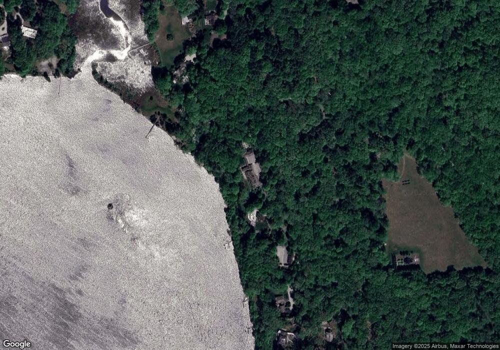
59 Joshua Ln Old Lyme, CT 06371
Estimated Value: $1,719,000 - $5,753,000
3
Beds
5
Baths
8,533
Sq Ft
$478/Sq Ft
Est. Value
About This Home
This home is located at 59 Joshua Ln, Old Lyme, CT 06371 and is currently estimated at $4,075,758, approximately $477 per square foot. 59 Joshua Ln is a home located in New London County with nearby schools including Lyme Consolidated School, Lyme-Old Lyme Middle School, and Lyme-Old Lyme High School.
Ownership History
Date
Name
Owned For
Owner Type
Purchase Details
Closed on
Jul 2, 2013
Sold by
Whelen Jessica M
Bought by
Whelen 4Th George W
Current Estimated Value
Purchase Details
Closed on
May 18, 2011
Sold by
Platt 3Rd Frederick J and Platt Christine B
Bought by
Whelen 4Th George W and Whelen Jessica M
Purchase Details
Closed on
Jul 9, 2001
Sold by
Gorman Thomas J and Gorman Maureen M
Bought by
Platt Frederick J and Platt Christine B
Purchase Details
Closed on
Oct 9, 1998
Sold by
Barclay Eleanor P
Bought by
Witkins James P and Witkins Janis T
Create a Home Valuation Report for This Property
The Home Valuation Report is an in-depth analysis detailing your home's value as well as a comparison with similar homes in the area
Home Values in the Area
Average Home Value in this Area
Purchase History
| Date | Buyer | Sale Price | Title Company |
|---|---|---|---|
| Whelen 4Th George W | -- | -- | |
| Whelen 4Th George W | $3,625,000 | -- | |
| Platt Frederick J | $2,500,000 | -- | |
| Witkins James P | $10,000 | -- |
Source: Public Records
Mortgage History
| Date | Status | Borrower | Loan Amount |
|---|---|---|---|
| Previous Owner | Witkins James P | $600,000 | |
| Previous Owner | Witkins James P | $249,000 | |
| Previous Owner | Witkins James P | $300,000 |
Source: Public Records
Tax History Compared to Growth
Tax History
| Year | Tax Paid | Tax Assessment Tax Assessment Total Assessment is a certain percentage of the fair market value that is determined by local assessors to be the total taxable value of land and additions on the property. | Land | Improvement |
|---|---|---|---|---|
| 2025 | $63,877 | $4,405,313 | $1,423,513 | $2,981,800 |
| 2024 | $63,877 | $4,405,313 | $1,423,513 | $2,981,800 |
| 2023 | $88,263 | $3,337,485 | $1,015,185 | $2,322,300 |
| 2022 | $66,583 | $3,337,485 | $1,015,185 | $2,322,300 |
| 2021 | $66,583 | $3,337,485 | $1,015,185 | $2,322,300 |
| 2020 | $66,583 | $3,337,485 | $1,015,185 | $2,322,300 |
| 2019 | $66,583 | $3,337,485 | $1,015,185 | $2,322,300 |
| 2018 | $68,326 | $3,673,438 | $1,248,838 | $2,424,600 |
| 2017 | $67,040 | $3,673,438 | $1,248,838 | $2,424,600 |
| 2016 | $60,793 | $3,331,138 | $1,248,838 | $2,082,300 |
| 2015 | $52,289 | $2,945,838 | $1,248,838 | $1,697,000 |
| 2014 | $44,095 | $2,593,838 | $1,248,838 | $1,345,000 |
Source: Public Records
Map
Nearby Homes
- 41 Joshua Ln
- 155 Joshuatown Rd
- 274 Joshuatown Rd
- 17 Lookout Hill
- 117 Elys Ferry Rd
- 109 Elys Ferry Rd
- 95 Cove Rd
- 66 Cove Rd
- 41B River Rd
- 85 River Rd Unit B7
- 85 River Rd Unit J6
- 7 Foxboro Rd
- 53 Elys Ferry Rd
- 1 Foxboro Rd
- 132 Tantumorantum Rd
- 89 Book Hill Rd
- 13 Maple Ave
- 153 Mitchell Hill Rd
- 89 Brush Hill Rd
- 18 Little Point St
- 73 Joshua Ln
- 77 Joshua Ln
- 62 Joshua Ln
- 33-2 Joshua Ln
- 33 Joshua Ln
- 38 Joshua Ln
- 85 Joshua Ln
- 27 Joshua Ln
- 158 Joshuatown Rd
- 14 Joshua Ln
- 30 Brockway Ferry Rd Unit B
- 30 Brockway Ferry Rd Unit A
- 30 Brockway Ferry Rd
- 30-2 Brockway Ferry Rd
- 34 Brockway Ferry Rd
- 30-1 Brockway Ferry Rd
- 150 Joshuatown Rd
- 162 Joshuatown Rd
- 70 Brockway Ferry Rd
- 68 Brockway Ferry Rd
