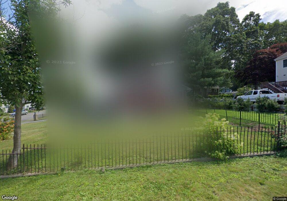
59 King Philip Ave Bristol, RI 02809
The Narrows NeighborhoodEstimated Value: $660,000 - $708,471
3
Beds
3
Baths
2,050
Sq Ft
$339/Sq Ft
Est. Value
About This Home
This home is located at 59 King Philip Ave, Bristol, RI 02809 and is currently estimated at $694,368, approximately $338 per square foot. 59 King Philip Ave is a home located in Bristol County with nearby schools including Mt. Hope High School, Highlander Charter Middle and High School, and Our Lady of Mt. Carmel School.
Ownership History
Date
Name
Owned For
Owner Type
Purchase Details
Closed on
Nov 18, 2016
Sold by
Est Trudell Edward R and Sylvia Deborah L
Bought by
Fox Gregory J and Fox Danielle B
Current Estimated Value
Home Financials for this Owner
Home Financials are based on the most recent Mortgage that was taken out on this home.
Original Mortgage
$172,830
Outstanding Balance
$138,753
Interest Rate
3.42%
Mortgage Type
Purchase Money Mortgage
Estimated Equity
$555,615
Create a Home Valuation Report for This Property
The Home Valuation Report is an in-depth analysis detailing your home's value as well as a comparison with similar homes in the area
Home Values in the Area
Average Home Value in this Area
Purchase History
| Date | Buyer | Sale Price | Title Company |
|---|---|---|---|
| Fox Gregory J | $177,000 | -- |
Source: Public Records
Mortgage History
| Date | Status | Borrower | Loan Amount |
|---|---|---|---|
| Open | Fox Gregory J | $172,830 |
Source: Public Records
Tax History Compared to Growth
Tax History
| Year | Tax Paid | Tax Assessment Tax Assessment Total Assessment is a certain percentage of the fair market value that is determined by local assessors to be the total taxable value of land and additions on the property. | Land | Improvement |
|---|---|---|---|---|
| 2025 | $6,802 | $492,200 | $265,700 | $226,500 |
| 2024 | $6,802 | $492,200 | $265,700 | $226,500 |
| 2023 | $6,576 | $492,200 | $265,700 | $226,500 |
| 2022 | $6,399 | $492,200 | $265,700 | $226,500 |
| 2021 | $6,242 | $434,100 | $244,600 | $189,500 |
| 2020 | $6,108 | $434,100 | $244,600 | $189,500 |
| 2019 | $5,956 | $434,100 | $244,600 | $189,500 |
| 2018 | $4,351 | $282,900 | $138,000 | $144,900 |
| 2017 | $3,636 | $243,700 | $119,600 | $124,100 |
| 2016 | $3,599 | $243,700 | $119,600 | $124,100 |
| 2015 | $3,419 | $243,700 | $119,600 | $124,100 |
| 2014 | $3,764 | $288,220 | $174,800 | $113,420 |
Source: Public Records
Map
Nearby Homes
- 60 Cedar Dr
- 64 King Philip Ave
- 56 Cedar Dr
- 57 King Philip Ave
- 65 King Philip Ave
- 151 Sunrise Dr
- 52 Cedar Dr
- 55 King Philip Ave
- 60 King Philip Ave
- 66 King Philip Ave
- 0 King Philip Ave Unit 11394
- 0 King Philip Ave Unit 116290
- 0 King Philip Ave Unit 531395
- 0 King Philip Ave Unit 536975
- 0 King Philip Ave Unit 536973
- 0 King Philip Ave Unit 546147
- 0 King Philip Ave Unit 1250165
- 0 King Philip Ave Unit 1299532
- 67 King Philip Ave
- 50 Cedar Dr