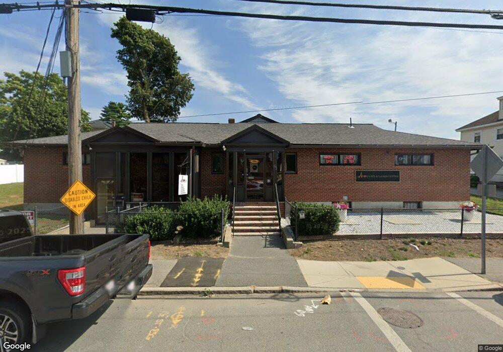
59 Lawrence St Methuen, MA 01844
The East End NeighborhoodEstimated Value: $699,197
Studio
--
Bath
6,335
Sq Ft
$110/Sq Ft
Est. Value
About This Home
This home is located at 59 Lawrence St, Methuen, MA 01844 and is currently estimated at $699,197, approximately $110 per square foot. 59 Lawrence St is a home located in Essex County with nearby schools including Timony Grammar School, Methuen High School, and Saint Monica School.
Ownership History
Date
Name
Owned For
Owner Type
Purchase Details
Closed on
Jan 31, 2022
Sold by
New 59 Lawrence Street Rt and Browne
Bought by
Kwon Property 1 Llc
Current Estimated Value
Home Financials for this Owner
Home Financials are based on the most recent Mortgage that was taken out on this home.
Original Mortgage
$258,520
Outstanding Balance
$235,696
Interest Rate
3.22%
Mortgage Type
Purchase Money Mortgage
Estimated Equity
$463,501
Create a Home Valuation Report for This Property
The Home Valuation Report is an in-depth analysis detailing your home's value as well as a comparison with similar homes in the area
Home Values in the Area
Average Home Value in this Area
Purchase History
| Date | Buyer | Sale Price | Title Company |
|---|---|---|---|
| Kwon Property 1 Llc | $580,000 | None Available |
Source: Public Records
Mortgage History
| Date | Status | Borrower | Loan Amount |
|---|---|---|---|
| Open | Kwon Property 1 Llc | $258,520 | |
| Closed | Kwon Property 1 Llc | $258,520 |
Source: Public Records
Tax History
| Year | Tax Paid | Tax Assessment Tax Assessment Total Assessment is a certain percentage of the fair market value that is determined by local assessors to be the total taxable value of land and additions on the property. | Land | Improvement |
|---|---|---|---|---|
| 2025 | $12,570 | $611,700 | $218,700 | $393,000 |
| 2024 | $11,987 | $570,800 | $205,900 | $364,900 |
| 2023 | $12,354 | $542,300 | $193,000 | $349,300 |
| 2022 | $12,554 | $490,000 | $180,100 | $309,900 |
| 2021 | $12,209 | $469,400 | $167,300 | $302,100 |
| 2020 | $12,138 | $456,500 | $154,400 | $302,100 |
| 2019 | $12,341 | $437,300 | $148,000 | $289,300 |
| 2018 | $12,293 | $437,300 | $148,000 | $289,300 |
| 2017 | $11,881 | $437,300 | $148,000 | $289,300 |
| 2016 | $11,431 | $437,300 | $148,000 | $289,300 |
| 2015 | $11,016 | $430,800 | $141,500 | $289,300 |
Source: Public Records
Map
Nearby Homes
- 545 Hampshire St Unit 545
- 434-438 Hampshire St
- 129-131 Lexington St
- 52 High St Unit 1
- 281 Broadway
- 10 Holly St
- 179-181 West St
- 29-31 Washington St
- 22-24 Cedar St
- 128 East St
- 229 Jackson St
- 7 Field Ave
- 20-22 Highgate St
- 12-14 Highgate St
- 16 Highgate St
- 202 Broadway Unit 2-3
- 202 Broadway Unit 3-2
- 687 Jackson St
- 6 Kendall St
- 25 Kendall St
- 53 Lawrence St Unit 55
- 53-55 Lawrence St Unit 1
- 53-55 Lawrence St
- 73 Lawrence St
- 24 Tower St
- 68 Tower St
- 6 Larchwood Rd
- 10 Tower St Unit 12
- 77 Lawrence St Unit 77
- 75 Lawrence St Unit 77
- 14-16 Tower St
- 14 Tower St Unit 16
- 40 Lawrence St
- 18 Tower St Unit 20
- 3 Larchwood Rd
- 1 Larchwood Rd
- 10-12 Larchwood Rd
- 5-7 Tower St
- 10 Larchwood Rd Unit 12
- 57 Tower St
Your Personal Tour Guide
Ask me questions while you tour the home.