Estimated Value: $923,455
--
Bed
--
Bath
80,000
Sq Ft
$12/Sq Ft
Est. Value
About This Home
This home is located at 59 Leicester St Unit lower, Perry, NY 14530 and is currently estimated at $923,455, approximately $11 per square foot. 59 Leicester St Unit lower is a home located in Wyoming County with nearby schools including Perry Elementary/Junior High School, Perry Central High School, and Gilead Christian School.
Ownership History
Date
Name
Owned For
Owner Type
Purchase Details
Closed on
May 8, 2019
Sold by
Benton Holdings Llc
Bought by
Wyoming Erie Partners Llc
Current Estimated Value
Purchase Details
Closed on
Aug 9, 2012
Sold by
Wyoming County Industrial Development Agency
Bought by
Benton Holdings Llc
Purchase Details
Closed on
Feb 27, 2004
Sold by
Old School Devel Llc
Bought by
Wyoming Co Ind Devel Ag Ency
Purchase Details
Closed on
Jun 4, 2003
Sold by
Perry Central School Dist
Bought by
Old School Development
Create a Home Valuation Report for This Property
The Home Valuation Report is an in-depth analysis detailing your home's value as well as a comparison with similar homes in the area
Home Values in the Area
Average Home Value in this Area
Purchase History
| Date | Buyer | Sale Price | Title Company |
|---|---|---|---|
| Wyoming Erie Partners Llc | $600,000 | -- | |
| Benton Holdings Llc | -- | Michael Helt | |
| Wyoming Co Ind Devel Ag Ency | -- | Eric Dadd | |
| Old School Development | -- | Raymond Sciarrino |
Source: Public Records
Tax History Compared to Growth
Tax History
| Year | Tax Paid | Tax Assessment Tax Assessment Total Assessment is a certain percentage of the fair market value that is determined by local assessors to be the total taxable value of land and additions on the property. | Land | Improvement |
|---|---|---|---|---|
| 2024 | $26,190 | $785,000 | $77,200 | $707,800 |
| 2023 | $26,190 | $600,000 | $77,200 | $522,800 |
| 2022 | $24,384 | $600,000 | $77,200 | $522,800 |
| 2021 | $24,702 | $600,000 | $77,200 | $522,800 |
| 2020 | $25,215 | $600,000 | $77,200 | $522,800 |
| 2019 | $79,510 | $600,000 | $77,200 | $522,800 |
| 2018 | $79,510 | $1,200,000 | $77,200 | $1,122,800 |
| 2017 | $61,015 | $750,000 | $77,200 | $672,800 |
| 2016 | $60,751 | $750,000 | $77,200 | $672,800 |
| 2015 | -- | $750,000 | $77,200 | $672,800 |
| 2014 | -- | $500,000 | $77,200 | $422,800 |
Source: Public Records
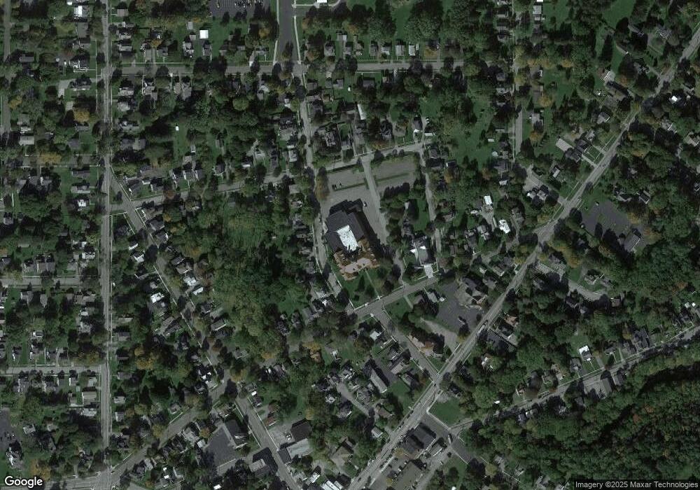
Map
Nearby Homes
- 83 Main St N
- 46 Watkins Ave
- 21 Benedict St
- 72 N Center St
- 107 Main St N
- 36 Benedict St
- 27 N Center St
- 6 Pine St
- 86 Main St N
- 28 S Center St
- 22 Genesee St
- 88 Gardeau Rd
- 41 Saint Helena St
- 98 Gardeau St
- 6994 Camp Rd
- 3862(21) Thompson Ave Unit 3862
- 0 Janes Rd
- 3899 (50) Thompson Ave Unit 3901
- 6964 13 Fillmore Ave
- 7094 State Route 20a
- 59 Leicester St
- 7 Hawthorne St
- 5 Hawthorne St
- 15 Hawthorne St
- 9 Hawthorne St
- 19 Hawthorne St
- 21 Hawthorne St
- 55 Leicester St
- 27 Hawthorne St
- 53 Leicester St
- 29 Hawthorne St Unit 31
- 51 Leicester St
- 54 Leicester St
- 26 Grove St
- 11 Church St
- 47 Leicester St
- 64 Leicester St
- 52 Leicester St
- 66 Leicester St
- 39 Grove St