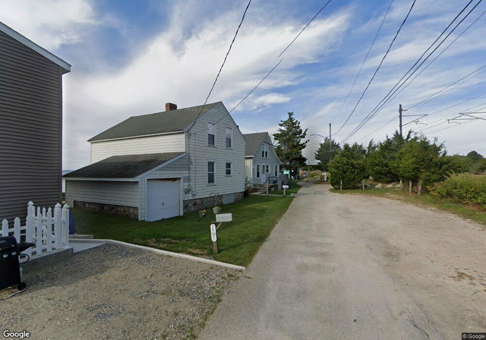
59 Lindberg Rd Stonington, CT 06378
Estimated Value: $544,000 - $619,000
3
Beds
1
Bath
800
Sq Ft
$724/Sq Ft
Est. Value
About This Home
This home is located at 59 Lindberg Rd, Stonington, CT 06378 and is currently estimated at $578,882, approximately $723 per square foot. 59 Lindberg Rd is a home located in New London County with nearby schools including Stonington Middle School, Stonington High School, and Pine Point School.
Ownership History
Date
Name
Owned For
Owner Type
Purchase Details
Closed on
Jul 18, 2025
Sold by
Bentz Bryan A
Bought by
Bentz Bryan A and Bentz Mary A
Current Estimated Value
Purchase Details
Closed on
Sep 15, 2021
Sold by
Anne H Bentz T H and Anne Bentz
Bought by
Bentz Bryan A
Purchase Details
Closed on
Aug 6, 2019
Sold by
Bentz Anne H and Alan Bentz
Bought by
Aanne H Bentz T H and Aanne Bentz
Create a Home Valuation Report for This Property
The Home Valuation Report is an in-depth analysis detailing your home's value as well as a comparison with similar homes in the area
Home Values in the Area
Average Home Value in this Area
Purchase History
| Date | Buyer | Sale Price | Title Company |
|---|---|---|---|
| Bentz Bryan A | -- | -- | |
| Bentz Bryan A | -- | None Available | |
| Bentz Bryan A | -- | None Available | |
| Bentz Bryan A | -- | None Available | |
| Aanne H Bentz T H | -- | -- | |
| Aanne H Bentz T H | -- | -- | |
| Bentz Anne H | -- | -- |
Source: Public Records
Tax History Compared to Growth
Tax History
| Year | Tax Paid | Tax Assessment Tax Assessment Total Assessment is a certain percentage of the fair market value that is determined by local assessors to be the total taxable value of land and additions on the property. | Land | Improvement |
|---|---|---|---|---|
| 2025 | $6,278 | $310,800 | $226,500 | $84,300 |
| 2024 | $6,030 | $310,800 | $226,500 | $84,300 |
| 2023 | $5,992 | $310,800 | $226,500 | $84,300 |
| 2022 | $6,314 | $241,000 | $190,400 | $50,600 |
| 2021 | $6,343 | $241,000 | $190,400 | $50,600 |
| 2020 | $6,220 | $241,000 | $190,400 | $50,600 |
| 2019 | $6,220 | $241,000 | $190,400 | $50,600 |
| 2018 | $6,021 | $241,000 | $190,400 | $50,600 |
| 2017 | $8,995 | $356,800 | $317,400 | $39,400 |
| 2016 | $8,685 | $356,800 | $317,400 | $39,400 |
| 2015 | $8,331 | $356,800 | $317,400 | $39,400 |
| 2014 | $8,001 | $356,800 | $317,400 | $39,400 |
Source: Public Records
Map
Nearby Homes
- 17 Langworthy Ave
- 50 Ashworth Ave
- 30 Cove Rd
- 20 Lambs Way
- 16 Montauk Ave
- 4 E Neck Rd
- 75 Montauk Ave
- 6 Rogers Dr
- 8 Joyce St
- 0 Smail St Unit 24066473
- 455 Stonington Rd
- 66 Collins Rd
- 9 Kingfisher Way
- 6 Kingfisher Way
- 59 Montauk Ave
- 301 Montauk Ave
- 44 Williams Ave
- 174 Montauk Ave
- 4 Northwest St Unit 34
- 12 Flanders Rd