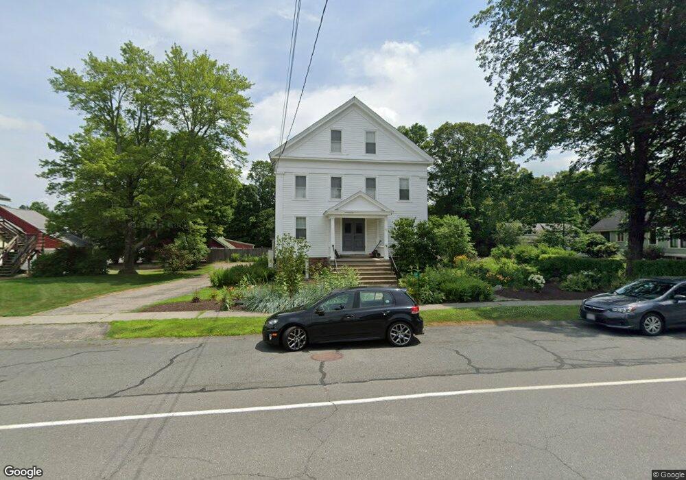
59 Main St Unit B Montague, MA 01351
Estimated Value: $344,000 - $492,214
3
Beds
2
Baths
1,774
Sq Ft
$233/Sq Ft
Est. Value
About This Home
This home is located at 59 Main St Unit B, Montague, MA 01351 and is currently estimated at $413,804, approximately $233 per square foot. 59 Main St Unit B is a home located in Franklin County.
Ownership History
Date
Name
Owned For
Owner Type
Purchase Details
Closed on
Aug 15, 2005
Sold by
Lowry Robert A
Bought by
Harbison Craig S
Current Estimated Value
Home Financials for this Owner
Home Financials are based on the most recent Mortgage that was taken out on this home.
Original Mortgage
$100,000
Outstanding Balance
$51,465
Interest Rate
5.54%
Mortgage Type
Purchase Money Mortgage
Estimated Equity
$362,339
Create a Home Valuation Report for This Property
The Home Valuation Report is an in-depth analysis detailing your home's value as well as a comparison with similar homes in the area
Home Values in the Area
Average Home Value in this Area
Purchase History
| Date | Buyer | Sale Price | Title Company |
|---|---|---|---|
| Harbison Craig S | $265,000 | -- | |
| Harbison Craig S | $265,000 | -- |
Source: Public Records
Mortgage History
| Date | Status | Borrower | Loan Amount |
|---|---|---|---|
| Open | Harbison Craig S | $100,000 | |
| Closed | Harbison Craig S | $100,000 |
Source: Public Records
Tax History Compared to Growth
Tax History
| Year | Tax Paid | Tax Assessment Tax Assessment Total Assessment is a certain percentage of the fair market value that is determined by local assessors to be the total taxable value of land and additions on the property. | Land | Improvement |
|---|---|---|---|---|
| 2025 | $7,210 | $474,000 | $0 | $474,000 |
| 2024 | $6,740 | $429,300 | $0 | $429,300 |
| 2023 | $6,085 | $388,800 | $0 | $388,800 |
| 2022 | $5,781 | $344,900 | $0 | $344,900 |
| 2021 | $5,474 | $313,900 | $0 | $313,900 |
| 2020 | $4,949 | $281,700 | $0 | $281,700 |
| 2019 | $4,788 | $279,500 | $0 | $279,500 |
| 2018 | $4,753 | $278,100 | $0 | $278,100 |
| 2017 | $4,786 | $287,100 | $0 | $287,100 |
| 2016 | $4,214 | $239,300 | $0 | $239,300 |
| 2015 | $4,059 | $239,300 | $0 | $239,300 |
| 2014 | $3,910 | $239,300 | $0 | $239,300 |
Source: Public Records
Map
Nearby Homes
- 64 Main St
- 495 Federal St Unit B
- 2 Gunn Rd
- 35 A N Leverett Rd
- 39 N Leverett Rd
- 132 Meadow Rd
- 10 Hannabrooke Dr
- 0 Pocumtuck Dr Unit 73379330
- 134 Montague Rd
- 55 A + B Randall Rd
- 38 Randall Wood Dr
- 8 Craig Ave
- 5 Bridge St
- 7 Stage Rd
- 202 Turnpike Rd
- 109 Montague City Rd
- 183 Millers Falls Rd
- 114 Montague St
- 345 Greenfield Rd
- 2 Alice St