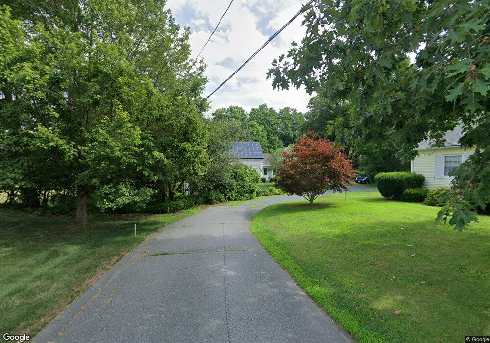
59 Maple St Shelburne Falls, MA 01370
Estimated Value: $505,000 - $697,000
4
Beds
1
Bath
2,328
Sq Ft
$257/Sq Ft
Est. Value
About This Home
This home is located at 59 Maple St, Shelburne Falls, MA 01370 and is currently estimated at $598,725, approximately $257 per square foot. 59 Maple St is a home located in Franklin County with nearby schools including Mohawk Trail Regional High School.
Ownership History
Date
Name
Owned For
Owner Type
Purchase Details
Closed on
Aug 17, 2009
Sold by
Pitha Philip
Bought by
Miner Thomas H and Sanford Phyllis F
Current Estimated Value
Purchase Details
Closed on
May 28, 2009
Sold by
Pitha Philip
Bought by
Webster Marcia
Purchase Details
Closed on
Oct 18, 2006
Sold by
Butler Annie M and Pitha Philip
Bought by
Pitha Philip
Purchase Details
Closed on
Jun 30, 2000
Sold by
Revt Cdf and Field-Roosa Carol
Bought by
Fitha Philip and Butler Annie M
Home Financials for this Owner
Home Financials are based on the most recent Mortgage that was taken out on this home.
Original Mortgage
$133,560
Interest Rate
8.59%
Mortgage Type
Purchase Money Mortgage
Create a Home Valuation Report for This Property
The Home Valuation Report is an in-depth analysis detailing your home's value as well as a comparison with similar homes in the area
Home Values in the Area
Average Home Value in this Area
Purchase History
| Date | Buyer | Sale Price | Title Company |
|---|---|---|---|
| Miner Thomas H | $175,000 | -- | |
| Webster Marcia | $25,000 | -- | |
| Pitha Philip | -- | -- | |
| Fitha Philip | $145,000 | -- |
Source: Public Records
Mortgage History
| Date | Status | Borrower | Loan Amount |
|---|---|---|---|
| Open | Fitha Philip | $200,000 | |
| Previous Owner | Fitha Philip | $133,560 |
Source: Public Records
Tax History
| Year | Tax Paid | Tax Assessment Tax Assessment Total Assessment is a certain percentage of the fair market value that is determined by local assessors to be the total taxable value of land and additions on the property. | Land | Improvement |
|---|---|---|---|---|
| 2025 | $7,820 | $609,000 | $87,200 | $521,800 |
| 2024 | $7,614 | $574,200 | $87,200 | $487,000 |
| 2023 | $6,996 | $512,500 | $87,200 | $425,300 |
| 2022 | $7,426 | $512,500 | $87,200 | $425,300 |
| 2021 | $6,938 | $479,500 | $79,300 | $400,200 |
| 2020 | $6,615 | $473,200 | $83,200 | $390,000 |
| 2019 | $6,559 | $455,800 | $79,300 | $376,500 |
| 2018 | $6,559 | $416,200 | $66,600 | $349,600 |
| 2017 | $6,132 | $412,900 | $66,600 | $346,300 |
| 2015 | $6,609 | $475,800 | $68,900 | $406,900 |
| 2014 | $6,480 | $475,800 | $68,900 | $406,900 |
Source: Public Records
Map
Nearby Homes
- 30 Main St
- 10 Deerfield Ave Unit 2
- 13 Bray Rd
- 2151 Route 2
- 2155 Massachusetts 2
- 7 Hog Hollow Rd
- 2930 Shelburne Falls Rd
- 24 W Oxbow Rd
- 0 Upper St
- 0 W Oxbow Rd Unit 73453651
- 0 W Oxbow Rd Unit 248444
- 1451 Massachusetts 2
- 1451 Route 2 E
- 0 N Bear River Rd Unit 73485981
- 714 Colrain Rd
- 151 Smead Hill Rd
- 8 Deer Run Path
- 414 Mohawk Trail
- 23 E Brook Dr
- 240 Beldingville Rd
Your Personal Tour Guide
Ask me questions while you tour the home.