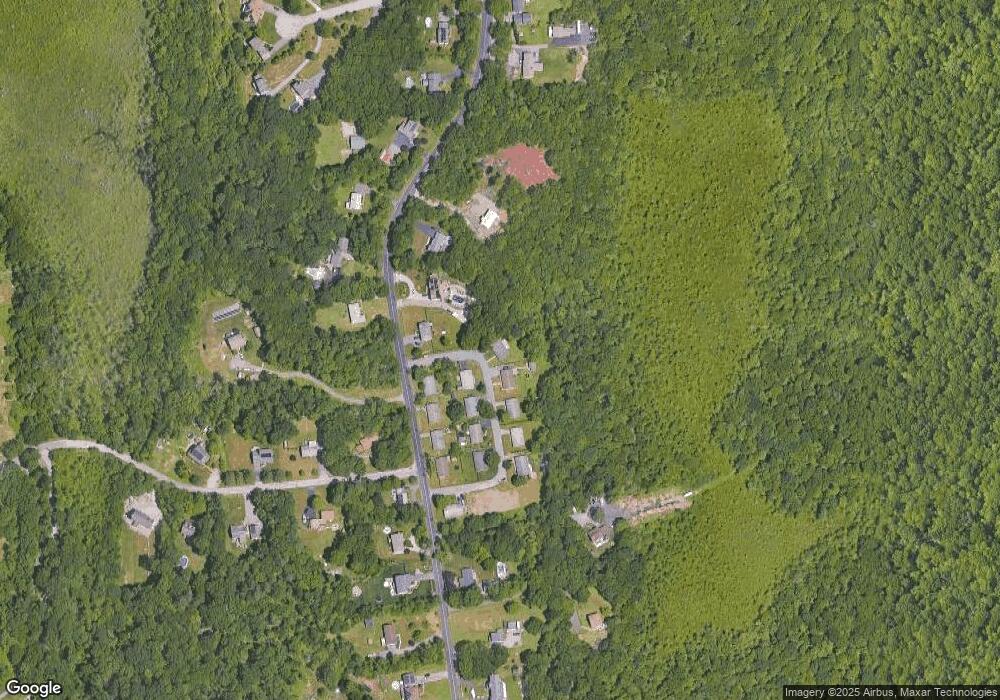
59 Missile Loop Swansea, MA 02777
Northeast Swansea NeighborhoodEstimated Value: $452,000 - $506,000
3
Beds
1
Bath
1,176
Sq Ft
$404/Sq Ft
Est. Value
About This Home
This home is located at 59 Missile Loop, Swansea, MA 02777 and is currently estimated at $474,847, approximately $403 per square foot. 59 Missile Loop is a home located in Bristol County with nearby schools including Joseph Case High School.
Ownership History
Date
Name
Owned For
Owner Type
Purchase Details
Closed on
May 25, 2006
Sold by
Est Devine Laura Jean and Devine John Francis
Bought by
Devine Tr John Francis and Carrigg Marie L
Current Estimated Value
Purchase Details
Closed on
Nov 27, 2000
Sold by
Swansea Woods Inc
Bought by
Devine Laura J
Create a Home Valuation Report for This Property
The Home Valuation Report is an in-depth analysis detailing your home's value as well as a comparison with similar homes in the area
Home Values in the Area
Average Home Value in this Area
Purchase History
| Date | Buyer | Sale Price | Title Company |
|---|---|---|---|
| Devine Tr John Francis | -- | -- | |
| Devine Tr John Francis | -- | -- | |
| Devine Laura J | $99,333 | -- |
Source: Public Records
Mortgage History
| Date | Status | Borrower | Loan Amount |
|---|---|---|---|
| Previous Owner | Devine Laura J | $104,200 | |
| Previous Owner | Devine Laura J | $45,000 | |
| Previous Owner | Devine Laura J | $17,000 | |
| Previous Owner | Devine Laura J | $88,000 |
Source: Public Records
Tax History Compared to Growth
Tax History
| Year | Tax Paid | Tax Assessment Tax Assessment Total Assessment is a certain percentage of the fair market value that is determined by local assessors to be the total taxable value of land and additions on the property. | Land | Improvement |
|---|---|---|---|---|
| 2025 | $3,743 | $314,000 | $145,000 | $169,000 |
| 2024 | $3,741 | $312,000 | $145,000 | $167,000 |
| 2023 | $3,814 | $290,500 | $117,500 | $173,000 |
| 2022 | $3,206 | $246,800 | $91,500 | $155,300 |
| 2021 | $3,206 | $205,100 | $86,400 | $118,700 |
| 2020 | $3,195 | $205,100 | $86,400 | $118,700 |
| 2019 | $2,964 | $191,100 | $72,400 | $118,700 |
| 2018 | $2,970 | $185,500 | $70,800 | $114,700 |
| 2017 | $2,523 | $190,000 | $75,300 | $114,700 |
| 2016 | $2,428 | $179,600 | $64,700 | $114,900 |
| 2015 | $2,205 | $167,900 | $64,700 | $103,200 |
| 2014 | $2,174 | $169,300 | $64,700 | $104,600 |
Source: Public Records
Map
Nearby Homes
- 171 Marvel St
- 490 Dillon Ln
- 65 Marvel St
- 3094 Millers Ln
- 48 Laurie Ln
- 3064 Clubhouse Dr
- 435 Fairway Dr
- 3035 Clubhouse Dr Unit 6
- 3035 Clubhouse Dr Unit 8
- 3049 Clubhouse Dr Unit 77
- 3035 Clubhouse Dr Unit 2
- 3055 Clubhouse Dr Unit 80
- 3035 Clubhouse Dr
- 3035 Clubhouse Dr Unit 4
- 3035 Clubhouse Dr Unit 1
- 3051 Clubhouse Dr Unit 78
- 3035 Clubhouse Dr Unit 3
- 3035 Clubhouse Dr Unit 7
- 3035 Clubhouse Dr Unit 5
- 3057 Clubhouse Dr
- 51 Missile Loop
- 52 Missile Loop
- 52 Missile Loop
- 42 Missile Loop
- 1227 Sharps Lot Rd
- 1241 Sharps Lot Rd
- 1255 Sharps Lot Rd
- 1305 Sharps Lot Rd
- 33 Missile Loop
- 32 Missile Loop
- 1221 Sharps Lot Rd
- 1215 Sharps Lot Rd
- 22 Missile Loop
- 25 Missile Loop
- 1269 Sharps Lot Rd
- 0 Nike Site Rd
- 1209 Sharps Lot Rd
- 1262 Sharps Lot Rd
- 1222 Sharps Lot Rd
- 7 Missile Loop
