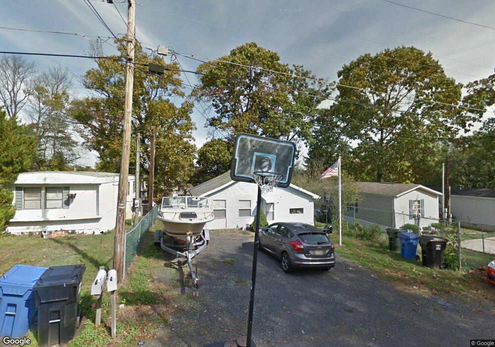
59 Monroe Ave Mantua, NJ 08051
Mantua Township NeighborhoodEstimated Value: $126,000 - $175,377
--
Bed
--
Bath
918
Sq Ft
$172/Sq Ft
Est. Value
About This Home
This home is located at 59 Monroe Ave, Mantua, NJ 08051 and is currently estimated at $157,594, approximately $171 per square foot. 59 Monroe Ave is a home located in Gloucester County with nearby schools including Centre City School, Clearview Regional Middle School, and Clearview Regional High School.
Ownership History
Date
Name
Owned For
Owner Type
Purchase Details
Closed on
Feb 1, 2024
Sold by
Conover Allen R and Conover Debra L
Bought by
Curry Debra and Pandzik James
Current Estimated Value
Purchase Details
Closed on
Nov 22, 2000
Sold by
Powell James
Bought by
Conover Allen R and Conover Debra L
Purchase Details
Closed on
Oct 29, 1998
Sold by
Mcdonnell Ethel Maie
Bought by
Powell James
Purchase Details
Closed on
Oct 27, 1997
Sold by
Powell James
Bought by
Mcdonnell Ethel Maie
Purchase Details
Closed on
Nov 22, 1995
Sold by
Southwick Linda
Bought by
Powell James
Create a Home Valuation Report for This Property
The Home Valuation Report is an in-depth analysis detailing your home's value as well as a comparison with similar homes in the area
Home Values in the Area
Average Home Value in this Area
Purchase History
| Date | Buyer | Sale Price | Title Company |
|---|---|---|---|
| Curry Debra | $80,000 | West Jersey Title | |
| Conover Allen R | $33,000 | -- | |
| Powell James | -- | -- | |
| Mcdonnell Ethel Maie | -- | -- | |
| Powell James | $21,000 | Pilgrim Title Agency |
Source: Public Records
Tax History Compared to Growth
Tax History
| Year | Tax Paid | Tax Assessment Tax Assessment Total Assessment is a certain percentage of the fair market value that is determined by local assessors to be the total taxable value of land and additions on the property. | Land | Improvement |
|---|---|---|---|---|
| 2025 | $2,984 | $115,900 | $36,900 | $79,000 |
| 2024 | $2,953 | $115,900 | $36,900 | $79,000 |
| 2023 | $2,953 | $115,900 | $36,900 | $79,000 |
| 2022 | $2,547 | $72,800 | $25,800 | $47,000 |
| 2021 | $2,565 | $72,800 | $25,800 | $47,000 |
| 2020 | $2,545 | $72,800 | $25,800 | $47,000 |
| 2019 | $2,502 | $72,800 | $25,800 | $47,000 |
| 2018 | $2,466 | $72,800 | $25,800 | $47,000 |
| 2017 | $2,429 | $72,800 | $25,800 | $47,000 |
| 2016 | $2,402 | $72,800 | $25,800 | $47,000 |
| 2015 | $2,343 | $72,800 | $25,800 | $47,000 |
| 2014 | $2,264 | $72,800 | $25,800 | $47,000 |
Source: Public Records
Map
Nearby Homes
- 204 W Landing Rd
- 485 Harrison Ave
- 325 Bridgeton Pike
- 261 Tony Cir
- 1433 Tristram Cir
- 119 Monroe Ave
- 36 Bluebird Rd
- 190 Mockingbird Ln
- 19 Marathon Dr
- 8 Barry Dr
- 26 Woodstream Ct
- 155 Whippoorwill Way
- 131 Firth Dr
- 1215 Tristram Cir
- 1147 Tristram Cir Unit 1147
- 1145 Tristram Cir
- 205 Redbud Ln Unit 205
- 1134 Tristram Cir Unit 4
- 590 Bridgeton Pike
- 433 Berkley Rd