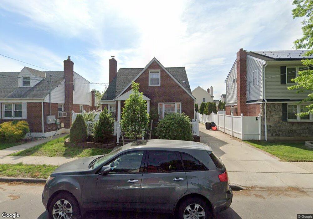
59 Nassau Blvd West Hempstead, NY 11552
Estimated Value: $782,880 - $806,000
4
Beds
2
Baths
1,433
Sq Ft
$554/Sq Ft
Est. Value
About This Home
This home is located at 59 Nassau Blvd, West Hempstead, NY 11552 and is currently estimated at $794,440, approximately $554 per square foot. 59 Nassau Blvd is a home located in Nassau County with nearby schools including The Waldorf School of Garden City.
Ownership History
Date
Name
Owned For
Owner Type
Purchase Details
Closed on
Apr 4, 2014
Sold by
Killen Brian and Killen Marianne
Bought by
Koch Eric H
Current Estimated Value
Purchase Details
Closed on
Jul 24, 1996
Sold by
Rohrssen Kurt and Rohrssen Roseann
Bought by
Killen Brian and Burchianti Marianne
Home Financials for this Owner
Home Financials are based on the most recent Mortgage that was taken out on this home.
Original Mortgage
$162,000
Interest Rate
8.37%
Create a Home Valuation Report for This Property
The Home Valuation Report is an in-depth analysis detailing your home's value as well as a comparison with similar homes in the area
Home Values in the Area
Average Home Value in this Area
Purchase History
| Date | Buyer | Sale Price | Title Company |
|---|---|---|---|
| Koch Eric H | $390,000 | -- | |
| Killen Brian | $180,000 | -- |
Source: Public Records
Mortgage History
| Date | Status | Borrower | Loan Amount |
|---|---|---|---|
| Previous Owner | Killen Brian | $162,000 |
Source: Public Records
Tax History Compared to Growth
Tax History
| Year | Tax Paid | Tax Assessment Tax Assessment Total Assessment is a certain percentage of the fair market value that is determined by local assessors to be the total taxable value of land and additions on the property. | Land | Improvement |
|---|---|---|---|---|
| 2025 | $11,345 | $516 | $264 | $252 |
| 2024 | $4,206 | $487 | $246 | $241 |
| 2023 | $9,710 | $523 | $264 | $259 |
| 2022 | $9,710 | $523 | $264 | $259 |
| 2021 | $13,359 | $513 | $246 | $267 |
| 2020 | $9,707 | $616 | $391 | $225 |
| 2019 | $9,628 | $660 | $399 | $261 |
| 2018 | $9,794 | $641 | $0 | $0 |
| 2017 | $5,618 | $675 | $446 | $229 |
| 2016 | $9,051 | $675 | $402 | $273 |
| 2015 | $3,208 | $675 | $402 | $273 |
| 2014 | $3,208 | $675 | $402 | $273 |
| 2013 | $3,323 | $748 | $446 | $302 |
Source: Public Records
Map
Nearby Homes
- 124 Kilburn Rd S
- 676 Sobo Ave
- 644 7th St S
- 109 Caroline Ave
- 715 Iris St
- 146 Caroline Ave
- 175 Dorchester Rd
- 217 Wellington Rd S
- 149 Rule St
- 56 Fendale St
- 234 Nassau Blvd
- 233 Roxbury Rd S
- 775 Roosevelt St
- 594 Fenworth Blvd
- 89 Osborne Rd
- 31 Claflin Blvd
- 170 Mckinley Ave
- 144 Rintin St
- 304 Kilburn Rd S
- 198 Guildford Ct
- 63 Nassau Blvd
- 53 Nassau Blvd
- 58 Euston Rd S
- 67 Nassau Blvd
- 598 9th St
- 62 Euston Rd S
- 590 9th St
- 66 Euston Rd S
- 600 9th St
- 71 Nassau Blvd
- 70 Euston Rd S
- 74 Euston Rd S
- 77 Nassau Blvd
- 33 Nassau Blvd
- 80 Euston Rd S
- 49 Euston Rd S
- 597 9th St
- 72 Nassau Blvd Unit 2Nw
- 72 Nassau Blvd
- 72 Nassau Blvd Unit 2Ne