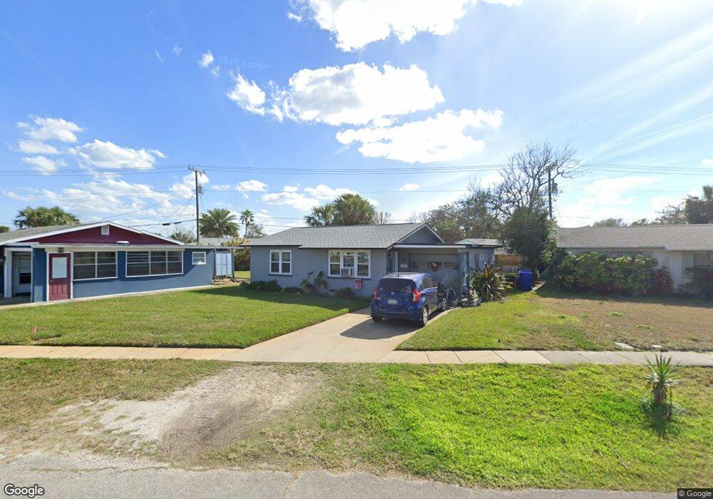
59 Ocean Shore Dr Ormond Beach, FL 32176
Estimated Value: $248,824 - $298,000
2
Beds
2
Baths
984
Sq Ft
$282/Sq Ft
Est. Value
About This Home
This home is located at 59 Ocean Shore Dr, Ormond Beach, FL 32176 and is currently estimated at $277,956, approximately $282 per square foot. 59 Ocean Shore Dr is a home located in Volusia County with nearby schools including Ormond Beach Middle School, Seabreeze High School, and St Brendan Catholic School.
Ownership History
Date
Name
Owned For
Owner Type
Purchase Details
Closed on
Jul 31, 2012
Sold by
Perry Robert H
Bought by
Perry Michelle T
Current Estimated Value
Purchase Details
Closed on
Apr 29, 2004
Sold by
Massetti Thomas D
Bought by
Cote Eugene and Cote Jean
Home Financials for this Owner
Home Financials are based on the most recent Mortgage that was taken out on this home.
Original Mortgage
$70,000
Interest Rate
7%
Mortgage Type
Seller Take Back
Purchase Details
Closed on
Oct 29, 2003
Sold by
Shannon George William
Bought by
Massetti Thomas D
Purchase Details
Closed on
Nov 15, 1988
Bought by
Cote Jean
Create a Home Valuation Report for This Property
The Home Valuation Report is an in-depth analysis detailing your home's value as well as a comparison with similar homes in the area
Home Values in the Area
Average Home Value in this Area
Purchase History
| Date | Buyer | Sale Price | Title Company |
|---|---|---|---|
| Perry Michelle T | -- | None Available | |
| Cote Eugene | $135,000 | -- | |
| Massetti Thomas D | -- | -- | |
| Cote Jean | $100 | -- |
Source: Public Records
Mortgage History
| Date | Status | Borrower | Loan Amount |
|---|---|---|---|
| Closed | Cote Eugene | $70,000 |
Source: Public Records
Tax History
| Year | Tax Paid | Tax Assessment Tax Assessment Total Assessment is a certain percentage of the fair market value that is determined by local assessors to be the total taxable value of land and additions on the property. | Land | Improvement |
|---|---|---|---|---|
| 2026 | $2,147 | $163,717 | -- | -- |
| 2025 | $2,147 | $162,665 | -- | -- |
| 2024 | $1,927 | $154,371 | -- | -- |
| 2023 | $1,927 | $152,844 | $0 | $0 |
| 2022 | $1,778 | $134,355 | $0 | $0 |
| 2021 | $1,674 | $113,840 | $0 | $0 |
| 2019 | $1,500 | $106,111 | $0 | $0 |
| 2018 | $1,417 | $101,438 | $0 | $0 |
| 2017 | $853 | $101,982 | $0 | $0 |
| 2016 | $1,362 | $92,786 | $0 | $0 |
| 2015 | $1,327 | $89,389 | $0 | $0 |
| 2014 | $1,148 | $81,782 | $0 | $0 |
Source: Public Records
Map
Nearby Homes
- 66 Ocean Shore Dr
- 4310 John Anderson Dr
- 82 Margaret Rd
- 59 Margaret Rd
- 56 Margaret Rd
- 55 Seaside Dr
- 36 River Shore Dr
- 29 Ocean Shore Dr
- 31 River Shore Dr
- 4 Ocean Shore Dr
- 30 Azalea Dr
- 1510 Ocean Shore Blvd Unit 3150
- 1510 Ocean Shore Blvd Unit 4140
- 1510 Ocean Shore Blvd Unit 4150
- 1510 Ocean Shore Blvd Unit 406
- 1510 Ocean Shore Blvd Unit 415
- 1510 Ocean Shore Blvd Unit 4120
- 17 Poinsettia Dr
- 1575 Ocean Shore Blvd Unit 304
- 1575 Ocean Shore Blvd Unit 603
- 61 Ocean Shore Dr
- 57 Ocean Shore Dr
- 58 Rivershore Dr
- 58 River Shore Dr
- 60 River Shore Dr
- 56 River Shore Dr
- 55 Ocean Shore Dr
- 60 Ocean Shore Dr
- 62 River Shore Dr
- 58 Ocean Shore Dr
- 54 Rivershore Dr
- 54 River Shore Dr
- 63 Ocean Shore Dr
- 62 Ocean Shore Dr
- 56 Ocean Shore Dr
- 53 Ocean Shore Dr
- 65 Ocean Shore Dr
- 64 River Shore Dr
- 64 Ocean Shore Dr
- 52 River Shore Dr
Your Personal Tour Guide
Ask me questions while you tour the home.