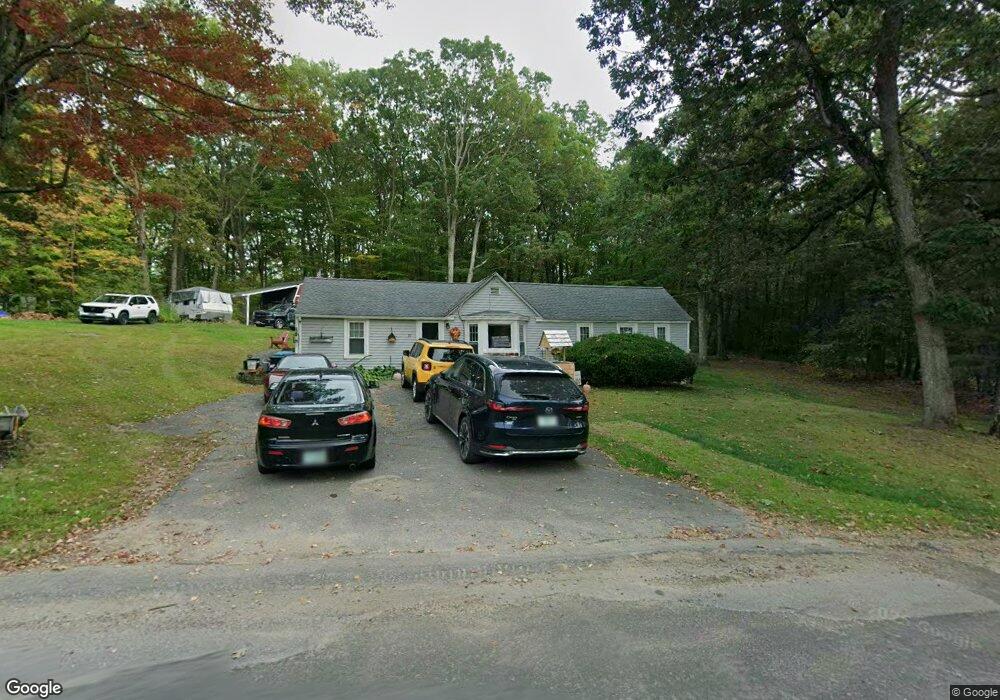
59 Redstone Hill Rd Sterling, MA 01564
Estimated Value: $376,984 - $424,000
2
Beds
1
Bath
1,145
Sq Ft
$345/Sq Ft
Est. Value
About This Home
This home is located at 59 Redstone Hill Rd, Sterling, MA 01564 and is currently estimated at $394,996, approximately $344 per square foot. 59 Redstone Hill Rd is a home located in Worcester County with nearby schools including Wachusett Regional High School and South Lancaster Academy.
Ownership History
Date
Name
Owned For
Owner Type
Purchase Details
Closed on
Oct 21, 2024
Sold by
Watson Peter M
Bought by
Watson Randy M and Watson Kaitlyn R
Current Estimated Value
Purchase Details
Closed on
Jan 16, 2004
Sold by
Carr Edward and Sablock Edward
Bought by
Watson Peter M
Home Financials for this Owner
Home Financials are based on the most recent Mortgage that was taken out on this home.
Original Mortgage
$160,000
Interest Rate
5.98%
Mortgage Type
Purchase Money Mortgage
Purchase Details
Closed on
Jun 25, 1997
Sold by
Lanciani Arthur
Bought by
Sablock Edward
Create a Home Valuation Report for This Property
The Home Valuation Report is an in-depth analysis detailing your home's value as well as a comparison with similar homes in the area
Home Values in the Area
Average Home Value in this Area
Purchase History
| Date | Buyer | Sale Price | Title Company |
|---|---|---|---|
| Watson Randy M | -- | None Available | |
| Watson Randy M | -- | None Available | |
| Watson Peter M | $160,000 | -- | |
| Sablock Edward | $80,000 | -- | |
| Watson Peter M | $160,000 | -- | |
| Sablock Edward | $80,000 | -- |
Source: Public Records
Mortgage History
| Date | Status | Borrower | Loan Amount |
|---|---|---|---|
| Previous Owner | Watson Peter M | $160,000 | |
| Previous Owner | Sablock Edward | $163,500 | |
| Previous Owner | Sablock Edward | $157,500 |
Source: Public Records
Tax History Compared to Growth
Tax History
| Year | Tax Paid | Tax Assessment Tax Assessment Total Assessment is a certain percentage of the fair market value that is determined by local assessors to be the total taxable value of land and additions on the property. | Land | Improvement |
|---|---|---|---|---|
| 2025 | $3,617 | $280,800 | $132,100 | $148,700 |
| 2024 | $3,548 | $266,600 | $132,100 | $134,500 |
| 2023 | $3,535 | $247,200 | $132,100 | $115,100 |
| 2022 | $3,166 | $207,600 | $120,100 | $87,500 |
| 2021 | $3,030 | $183,400 | $120,100 | $63,300 |
| 2020 | $3,012 | $179,200 | $120,100 | $59,100 |
| 2019 | $3,040 | $176,000 | $120,100 | $55,900 |
| 2018 | $2,941 | $167,700 | $120,800 | $46,900 |
| 2017 | $2,703 | $149,900 | $111,800 | $38,100 |
| 2016 | $2,698 | $147,200 | $111,800 | $35,400 |
| 2015 | $2,519 | $145,700 | $115,200 | $30,500 |
| 2014 | $2,497 | $147,500 | $115,200 | $32,300 |
Source: Public Records
Map
Nearby Homes
- 4 Redstone Hill Rd
- 96 Clinton Rd
- 25 North Row
- 5 Leo's Way Unit 1
- 7 Leo's Way Unit 1
- 45 Kendall Hill Rd
- 45 Meetinghouse Hill Rd
- 41 Meetinghouse Hill Rd
- 2 Stuart Rd
- 19 James Rd
- 5 Pine Woods Ln
- 17 Taft Rd
- 6 Belmont Dr
- 20 Woodside Dr
- 28 Sandy Ridge Rd
- 19 Fitch Farm Rd
- 17 Turtle Ln Unit 17
- 121 &125 Flanagan Hill Rd
- 290 Sterling St
- 271 Sterling St
- 59 Redstone Hill Rd Unit 1
- 52 Redstone Hill Rd
- 48 Redstone Hill Rd
- 61 Redstone Hill Rd
- 57 Redstone Hill Rd
- 52 Redstone Place
- 63 Redstone Hill Rd
- 56 Redstone Hill Rd
- 46 Redstone Hill Rd
- LOT 7 Chad Ln
- 56 Redstone Place
- 55 Redstone Hill Rd
- 44 Redstone Hill Rd
- 2 Hazelhurst Way
- 65 Redstone Hill Rd
- 42 Redstone Hill Rd
- 54 Redstone Place
- 58 Redstone Hill Rd
- 67 Redstone Hill Rd
- 2 Chad Ln