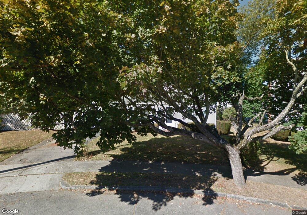
59 Sealund Rd Quincy, MA 02171
Montclair NeighborhoodEstimated Value: $692,082 - $746,000
2
Beds
1
Bath
1,422
Sq Ft
$505/Sq Ft
Est. Value
About This Home
This home is located at 59 Sealund Rd, Quincy, MA 02171 and is currently estimated at $718,521, approximately $505 per square foot. 59 Sealund Rd is a home located in Norfolk County with nearby schools including Montclair Elementary School, Atlantic Middle School, and North Quincy High School.
Create a Home Valuation Report for This Property
The Home Valuation Report is an in-depth analysis detailing your home's value as well as a comparison with similar homes in the area
Home Values in the Area
Average Home Value in this Area
Tax History Compared to Growth
Tax History
| Year | Tax Paid | Tax Assessment Tax Assessment Total Assessment is a certain percentage of the fair market value that is determined by local assessors to be the total taxable value of land and additions on the property. | Land | Improvement |
|---|---|---|---|---|
| 2025 | $6,941 | $602,000 | $397,600 | $204,400 |
| 2024 | $6,762 | $600,000 | $397,600 | $202,400 |
| 2023 | $6,426 | $577,400 | $378,900 | $198,500 |
| 2022 | $6,305 | $526,300 | $330,000 | $196,300 |
| 2021 | $5,969 | $491,700 | $314,500 | $177,200 |
| 2020 | $5,883 | $473,300 | $314,500 | $158,800 |
| 2019 | $5,670 | $451,800 | $294,200 | $157,600 |
| 2018 | $5,539 | $415,200 | $272,700 | $142,500 |
| 2017 | $5,444 | $384,200 | $259,900 | $124,300 |
| 2016 | $4,915 | $342,300 | $226,600 | $115,700 |
| 2015 | $4,633 | $317,300 | $206,400 | $110,900 |
| 2014 | $4,465 | $300,500 | $196,800 | $103,700 |
Source: Public Records
Map
Nearby Homes
- 51 Denmark Ave
- 115 W Squantum St Unit 907
- 115 W Squantum St Unit 810
- 129-131 Pine St
- 17 Holmes St Unit 2
- 17 Holmes St Unit 4
- 55 Christopher Dr
- 171 Milton St
- 169 Pine St
- 143 Arlington St
- 11 Rockwell Ave
- 250 Fayette St
- 71 Cabot St
- 60 Newbury St Unit 10
- 121 Hillside Ave
- 522 Hancock St
- 85 E Squantum St Unit 10
- 323 Farrington St
- 400 Adams St Unit A
- 400 Adams St Unit B
