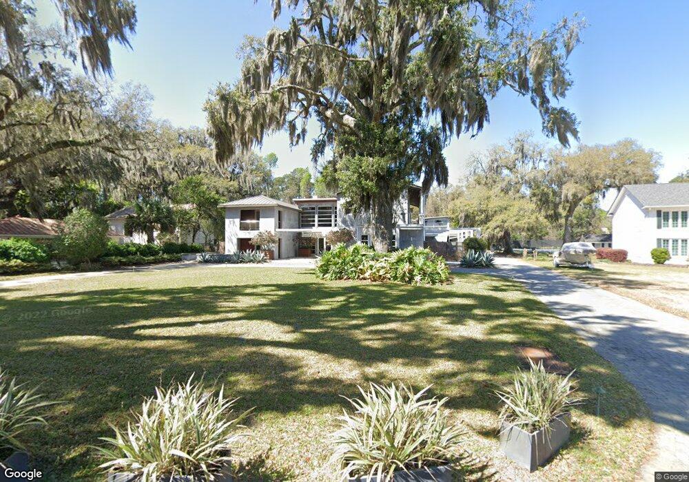
59 W Bluff Dr Savannah, GA 31406
Isle of Hope NeighborhoodEstimated Value: $3,270,000 - $4,696,000
5
Beds
6
Baths
8,511
Sq Ft
$467/Sq Ft
Est. Value
About This Home
This home is located at 59 W Bluff Dr, Savannah, GA 31406 and is currently estimated at $3,978,487, approximately $467 per square foot. 59 W Bluff Dr is a home located in Chatham County with nearby schools including Isle Of Hope School, Johnson High School, and Oglethorpe Charter School.
Ownership History
Date
Name
Owned For
Owner Type
Purchase Details
Closed on
Apr 9, 2014
Sold by
Heiges Melinda S
Bought by
Heiges Bradley A
Current Estimated Value
Home Financials for this Owner
Home Financials are based on the most recent Mortgage that was taken out on this home.
Original Mortgage
$736,000
Outstanding Balance
$529,947
Interest Rate
3%
Mortgage Type
New Conventional
Estimated Equity
$3,448,540
Purchase Details
Closed on
Sep 30, 2008
Sold by
Not Provided
Bought by
Heiges Bradley A and Heiges Melinda
Home Financials for this Owner
Home Financials are based on the most recent Mortgage that was taken out on this home.
Original Mortgage
$1,713,600
Interest Rate
6%
Mortgage Type
New Conventional
Create a Home Valuation Report for This Property
The Home Valuation Report is an in-depth analysis detailing your home's value as well as a comparison with similar homes in the area
Home Values in the Area
Average Home Value in this Area
Purchase History
| Date | Buyer | Sale Price | Title Company |
|---|---|---|---|
| Heiges Bradley A | -- | -- | |
| Heiges Bradley A | $2,142,000 | -- |
Source: Public Records
Mortgage History
| Date | Status | Borrower | Loan Amount |
|---|---|---|---|
| Open | Heiges Bradley A | $736,000 | |
| Previous Owner | Heiges Bradley A | $1,713,600 |
Source: Public Records
Tax History Compared to Growth
Tax History
| Year | Tax Paid | Tax Assessment Tax Assessment Total Assessment is a certain percentage of the fair market value that is determined by local assessors to be the total taxable value of land and additions on the property. | Land | Improvement |
|---|---|---|---|---|
| 2025 | $18,079 | $2,548,840 | $633,360 | $1,915,480 |
| 2024 | $18,079 | $1,798,160 | $633,360 | $1,164,800 |
| 2023 | $36,158 | $1,323,120 | $633,360 | $689,760 |
| 2022 | $36,785 | $1,253,120 | $633,360 | $619,760 |
| 2021 | $55,260 | $1,158,920 | $630,640 | $528,280 |
| 2020 | $36,615 | $0 | $0 | $0 |
| 2019 | $55,169 | $3,973 | $0 | $0 |
| 2018 | $37,026 | $1,247,320 | $630,640 | $616,680 |
| 2017 | $43,154 | $1,252,560 | $630,640 | $621,920 |
| 2016 | $41,345 | $1,240,160 | $630,640 | $609,520 |
| 2015 | $35,502 | $8,008 | $0 | $0 |
| 2014 | $45,559 | $928,920 | $0 | $0 |
Source: Public Records
Map
Nearby Homes
- 21 Noble Glen Dr
- 13 Saint Thomas Ave
- 4 Dorothy Dr
- 59 Romney Place
- 22 Colonel Estill Ave
- 4 Hopecrest Ave
- 31 Jameswood Ave
- 7423 Central Ave
- 1 Bakers Crossing
- 2611 Salcedo Ave
- 109 Canter Ct
- 7 Bakers Crossing
- 117 Fox Chase Rd
- 118 Canter Ct
- 8621 Ferguson Ave
- 2611 Norwood Ave
- 130 Canter Ct
- 114 Lakeview Ct
- 9 Mulberry Ct
- 17 Tara Ct