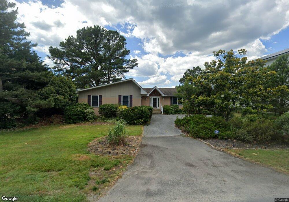
59 W Side Dr Rehoboth Beach, DE 19971
Estimated Value: $1,151,502 - $1,659,000
3
Beds
--
Bath
2,148
Sq Ft
$623/Sq Ft
Est. Value
About This Home
This home is located at 59 W Side Dr, Rehoboth Beach, DE 19971 and is currently estimated at $1,338,876, approximately $623 per square foot. 59 W Side Dr is a home with nearby schools including Rehoboth Elementary School, Mariner Middle School, and Cape Henlopen High School.
Ownership History
Date
Name
Owned For
Owner Type
Purchase Details
Closed on
Jul 14, 2021
Sold by
Popper Peter
Bought by
Rosalie L Popper T
Current Estimated Value
Purchase Details
Closed on
Oct 19, 2015
Sold by
Popper Peter and Popper Rosalie L
Bought by
Declaration Of Trust Of Peter Popper
Purchase Details
Closed on
May 10, 1999
Bought by
Popper Peter (Trustee) Rosalie L Popper
Create a Home Valuation Report for This Property
The Home Valuation Report is an in-depth analysis detailing your home's value as well as a comparison with similar homes in the area
Home Values in the Area
Average Home Value in this Area
Purchase History
| Date | Buyer | Sale Price | Title Company |
|---|---|---|---|
| Rosalie L Popper T | -- | None Available | |
| Popper Peter | -- | None Available | |
| Declaration Of Trust Of Peter Popper | -- | None Available | |
| Popper Peter (Trustee) Rosalie L Popper | $261,000 | -- |
Source: Public Records
Tax History
| Year | Tax Paid | Tax Assessment Tax Assessment Total Assessment is a certain percentage of the fair market value that is determined by local assessors to be the total taxable value of land and additions on the property. | Land | Improvement |
|---|---|---|---|---|
| 2025 | $2,561 | $30,250 | $9,800 | $20,450 |
| 2024 | $1,491 | $30,250 | $9,800 | $20,450 |
| 2023 | $1,490 | $30,250 | $9,800 | $20,450 |
| 2022 | $1,438 | $30,250 | $9,800 | $20,450 |
| 2021 | $1,425 | $30,250 | $9,800 | $20,450 |
| 2020 | $1,420 | $30,250 | $9,800 | $20,450 |
| 2019 | $1,422 | $30,250 | $9,800 | $20,450 |
| 2018 | $1,328 | $30,250 | $0 | $0 |
| 2017 | $1,272 | $30,250 | $0 | $0 |
| 2016 | $1,208 | $30,250 | $0 | $0 |
| 2015 | $1,155 | $30,250 | $0 | $0 |
| 2014 | $1,146 | $30,250 | $0 | $0 |
Source: Public Records
Map
Nearby Homes
- 35971 Jake Dr
- 21233 N St Unit N 22
- 21261 M St
- 35960 Jake Dr Unit 26
- 21229 M St
- 21206 N St Unit N-11
- 21237 K St Unit K-35
- 21280 G St Unit G-13
- 21170 M St Unit M-20
- 130 E Side Dr
- 154 E Side Dr
- 21539 Cattail Dr
- 21537 Cattail Dr
- 21535 Cattail Dr
- 21430 Catalina Cir
- 21532 Cattail Dr
- 21530 Cattail Dr Unit 116
- 21527 Cattail Dr Unit 102
- 21730 E St Unit E-29
- 21522 Cattail Dr Unit 121
Your Personal Tour Guide
Ask me questions while you tour the home.