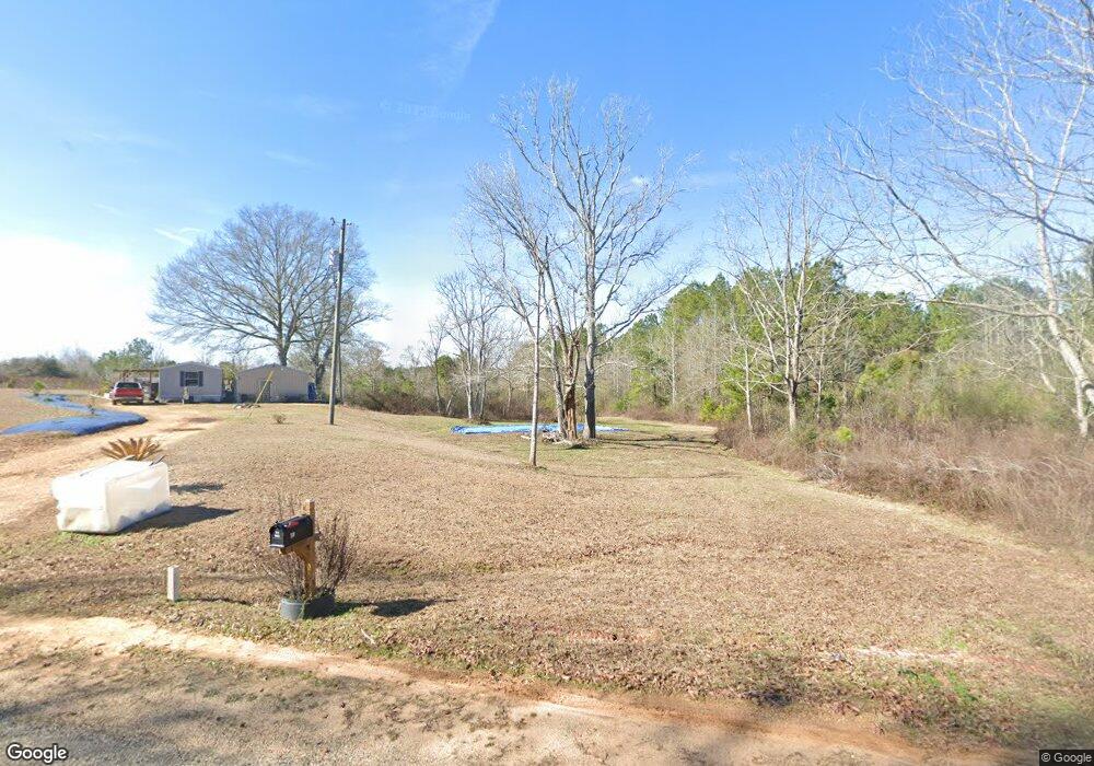
59 Walt Brock Rd Tylertown, MS 39667
Estimated Value: $85,718 - $457,000
--
Bed
--
Bath
--
Sq Ft
14
Acres
About This Home
This home is located at 59 Walt Brock Rd, Tylertown, MS 39667 and is currently estimated at $260,180. 59 Walt Brock Rd is a home with nearby schools including Tylertown Primary School, Tylertown Lower Elementary School, and Tylertown High School.
Ownership History
Date
Name
Owned For
Owner Type
Purchase Details
Closed on
Jun 5, 2024
Sold by
Naquin Chelcy Michelle
Bought by
Brock Matthew Wendell and Brock Katina Marie
Current Estimated Value
Home Financials for this Owner
Home Financials are based on the most recent Mortgage that was taken out on this home.
Original Mortgage
$31,000
Outstanding Balance
$16,184
Interest Rate
7.09%
Estimated Equity
$243,996
Purchase Details
Closed on
Jul 10, 2017
Sold by
Peggy Brock
Bought by
Naquin Chelcy Michelle
Create a Home Valuation Report for This Property
The Home Valuation Report is an in-depth analysis detailing your home's value as well as a comparison with similar homes in the area
Home Values in the Area
Average Home Value in this Area
Purchase History
| Date | Buyer | Sale Price | Title Company |
|---|---|---|---|
| Brock Matthew Wendell | -- | -- | |
| Naquin Chelcy Michelle | -- | -- |
Source: Public Records
Mortgage History
| Date | Status | Borrower | Loan Amount |
|---|---|---|---|
| Open | Brock Matthew Wendell | $31,000 |
Source: Public Records
Tax History Compared to Growth
Tax History
| Year | Tax Paid | Tax Assessment Tax Assessment Total Assessment is a certain percentage of the fair market value that is determined by local assessors to be the total taxable value of land and additions on the property. | Land | Improvement |
|---|---|---|---|---|
| 2024 | $310 | $2,353 | $0 | $0 |
| 2023 | $310 | $2,356 | $0 | $0 |
| 2022 | $303 | $2,365 | $0 | $0 |
| 2021 | $267 | $2,134 | $0 | $0 |
| 2020 | $268 | $2,146 | $0 | $0 |
| 2019 | $269 | $2,160 | $0 | $0 |
| 2018 | $271 | $2,173 | $0 | $0 |
| 2017 | $344 | $2,761 | $0 | $0 |
| 2016 | $323 | $2,630 | $0 | $0 |
| 2015 | -- | $2,496 | $0 | $0 |
| 2014 | -- | $2,384 | $0 | $0 |
| 2013 | -- | $2,034 | $0 | $0 |
Source: Public Records
Map
Nearby Homes
- 32747 Gerald Brown Sr Rd
- 31 Allen Hill Rd
- 32315 Peace Rd
- 64 Simon Rd
- 24 Tom Warner Rd
- 42 Tom Warner Rd
- 0 Tom Warner Rd
- 47 Tom Warner Rd
- 136 Beaver Dam Rd
- tbd Louisiana 438
- 0 Par Road 272
- 30381 Par Road 47
- 29433 Par Road 194
- 516 Airline Hwy
- 453 Ginntown Rd
- 67 Tom Lewis Rd
- 0 Par Road 495
- 0 Joby Magee Rd
- 50457 Frank Dillon Rd
- 37 Walt Brock Rd
- 0 Walt Brock Rd
- 21 Walt Brock Rd
- 20 Walt Brock Rd
- 46555 Debbie Ln
- 32495 Brock Rd
- 47017 Highway 438
- 11 Walt Brock Rd
- 32469 Brock Rd
- 32421 Brock Rd
- 46401 Highway 438
- 32278 E Pearlie Causey Rd
- 46584 Louisiana 438
- 46584 Highway 438
- 510 Simon Rd
- 46588 Highway 438
- 46588 Hwy 438
- 46588 Highway 438
- 32235 E Pearlie Causey Rd
- 403 Simon Rd