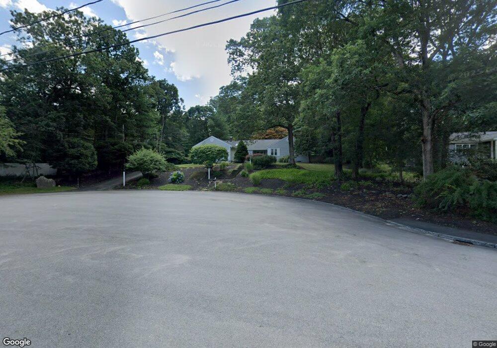
59 Williams Rd Sharon, MA 02067
Estimated Value: $984,000 - $1,160,000
4
Beds
3
Baths
2,352
Sq Ft
$447/Sq Ft
Est. Value
About This Home
This home is located at 59 Williams Rd, Sharon, MA 02067 and is currently estimated at $1,051,379, approximately $447 per square foot. 59 Williams Rd is a home located in Norfolk County with nearby schools including East Elementary School, Sharon Middle School, and Sharon High School.
Ownership History
Date
Name
Owned For
Owner Type
Purchase Details
Closed on
Dec 5, 2001
Sold by
Forman Guy and Forman Pamela Bb
Bought by
Stein Steven G and Stein Denise B
Current Estimated Value
Home Financials for this Owner
Home Financials are based on the most recent Mortgage that was taken out on this home.
Original Mortgage
$434,200
Outstanding Balance
$170,924
Interest Rate
6.67%
Mortgage Type
Purchase Money Mortgage
Estimated Equity
$880,455
Purchase Details
Closed on
Jul 31, 1998
Sold by
Miller Carl E and Miller Nancy J
Bought by
Forman Guy and Forman Pamela Bb
Home Financials for this Owner
Home Financials are based on the most recent Mortgage that was taken out on this home.
Original Mortgage
$190,000
Interest Rate
6.92%
Mortgage Type
Purchase Money Mortgage
Create a Home Valuation Report for This Property
The Home Valuation Report is an in-depth analysis detailing your home's value as well as a comparison with similar homes in the area
Home Values in the Area
Average Home Value in this Area
Purchase History
| Date | Buyer | Sale Price | Title Company |
|---|---|---|---|
| Stein Steven G | $483,000 | -- | |
| Forman Guy | $364,500 | -- |
Source: Public Records
Mortgage History
| Date | Status | Borrower | Loan Amount |
|---|---|---|---|
| Open | Forman Guy | $100,000 | |
| Open | Stein Steven G | $434,200 | |
| Previous Owner | Forman Guy | $190,000 | |
| Previous Owner | Forman Guy | $99,000 |
Source: Public Records
Tax History
| Year | Tax Paid | Tax Assessment Tax Assessment Total Assessment is a certain percentage of the fair market value that is determined by local assessors to be the total taxable value of land and additions on the property. | Land | Improvement |
|---|---|---|---|---|
| 2025 | $16,861 | $964,600 | $522,500 | $442,100 |
| 2024 | $16,397 | $932,700 | $479,400 | $453,300 |
| 2023 | $15,627 | $840,600 | $448,200 | $392,400 |
| 2022 | $15,405 | $780,000 | $373,400 | $406,600 |
| 2021 | $15,286 | $748,200 | $352,200 | $396,000 |
| 2020 | $14,216 | $748,200 | $352,200 | $396,000 |
| 2019 | $13,812 | $711,600 | $336,900 | $374,700 |
| 2018 | $13,584 | $701,300 | $330,400 | $370,900 |
| 2017 | $13,340 | $679,900 | $309,000 | $370,900 |
| 2016 | $13,031 | $648,000 | $309,000 | $339,000 |
| 2015 | $12,314 | $606,600 | $281,300 | $325,300 |
| 2014 | $11,418 | $555,600 | $255,700 | $299,900 |
Source: Public Records
Map
Nearby Homes
- 55 Williams Rd
- 31 Eisenhower Dr
- 5 Eisenhower Dr
- 29 Eisenhower Dr
- 51 Williams Rd
- 78 Bishop Rd
- 74 Bishop Rd
- 35 Eisenhower Dr
- 4 Eisenhower Dr
- 56 Williams Rd
- 52 Williams Rd
- 47 Williams Rd
- 25 Eisenhower Dr
- 70 Bishop Rd
- 48 Williams Rd
- 30 Eisenhower Dr
- 30 Eisenhower Dr Unit 1
- 24 Eisenhower Dr
- 36 Eisenhower Dr
- 20 Eisenhower Dr
Your Personal Tour Guide
Ask me questions while you tour the home.