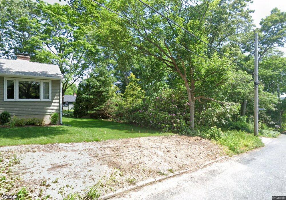
59 Winter St Unit A Wakefield, RI 02879
Estimated Value: $615,000 - $707,000
4
Beds
3
Baths
2,276
Sq Ft
$291/Sq Ft
Est. Value
About This Home
This home is located at 59 Winter St Unit A, Wakefield, RI 02879 and is currently estimated at $661,199, approximately $290 per square foot. 59 Winter St Unit A is a home located in Washington County with nearby schools including South Kingstown High School, Monsignor Matthew Clarke Catholic Regional School, and Bradley School-South.
Ownership History
Date
Name
Owned For
Owner Type
Purchase Details
Closed on
Sep 16, 2025
Sold by
Demetrick Stephen J and Demetrick Catherine D
Bought by
Demetrick Stephen J and Demetrick Catherine D
Current Estimated Value
Purchase Details
Closed on
Aug 2, 2018
Sold by
Demetrick David C and Demetrick Stephen J
Bought by
Demetrick Stephen J and Demetrick Catherine D
Purchase Details
Closed on
Jun 27, 2008
Sold by
Adkins Carrie Elizabet and Adkins Jeffrey Alan
Bought by
Demetrick David C and Demetrick Stephen J
Purchase Details
Closed on
Dec 8, 1994
Sold by
Decurtis Barbara M
Bought by
Decurtis Sergio A
Home Financials for this Owner
Home Financials are based on the most recent Mortgage that was taken out on this home.
Original Mortgage
$60,000
Interest Rate
9%
Mortgage Type
Purchase Money Mortgage
Create a Home Valuation Report for This Property
The Home Valuation Report is an in-depth analysis detailing your home's value as well as a comparison with similar homes in the area
Home Values in the Area
Average Home Value in this Area
Purchase History
| Date | Buyer | Sale Price | Title Company |
|---|---|---|---|
| Demetrick Stephen J | -- | -- | |
| Demetrick Stephen J | -- | -- | |
| Demetrick David C | $305,000 | -- | |
| Decurtis Sergio A | $85,000 | -- |
Source: Public Records
Mortgage History
| Date | Status | Borrower | Loan Amount |
|---|---|---|---|
| Previous Owner | Decurtis Sergio A | $60,000 |
Source: Public Records
Tax History Compared to Growth
Tax History
| Year | Tax Paid | Tax Assessment Tax Assessment Total Assessment is a certain percentage of the fair market value that is determined by local assessors to be the total taxable value of land and additions on the property. | Land | Improvement |
|---|---|---|---|---|
| 2025 | $4,502 | $503,600 | $222,000 | $281,600 |
| 2024 | $4,303 | $389,400 | $163,700 | $225,700 |
| 2023 | $4,303 | $389,400 | $163,700 | $225,700 |
| 2022 | $4,264 | $389,400 | $163,700 | $225,700 |
| 2021 | $4,107 | $284,200 | $118,800 | $165,400 |
| 2020 | $4,107 | $284,200 | $118,800 | $165,400 |
| 2019 | $4,107 | $284,200 | $118,800 | $165,400 |
| 2018 | $4,011 | $255,800 | $112,900 | $142,900 |
| 2017 | $3,916 | $255,800 | $112,900 | $142,900 |
| 2016 | $3,860 | $255,800 | $112,900 | $142,900 |
| 2015 | $4,038 | $260,200 | $108,000 | $152,200 |
| 2014 | $3,873 | $250,200 | $108,000 | $142,200 |
Source: Public Records
Map
Nearby Homes
- 23 Rockland Dr
- 98 Meadow Ave
- 37 Columbia St
- 35 Whittier Dr
- 37 Whittier Dr
- 156 River St Unit B
- 10 Hendricks St
- 48 Stone Bridge Dr
- 39 Hazard Ave
- 128 Rodman St
- 45 Cherry Ln Unit C
- 5 Secluded Dr
- 40 Amos St
- 228 Rodman St
- 333 South Rd
- 3 Larkin St
- 47 Tuckertown Rd
- 70 Broad Rock Rd
- 38 Eisenhower Place
- 53 Rocky Brook Way