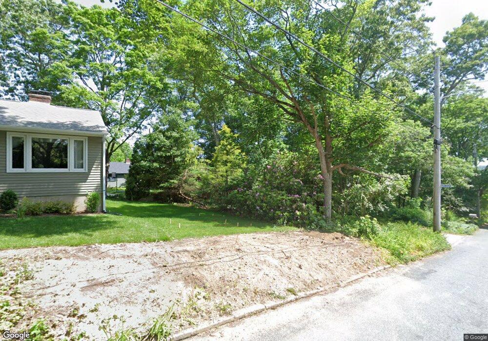
59 Winter St Unit C Wakefield, RI 02879
Estimated Value: $692,000 - $816,000
3
Beds
2
Baths
1,914
Sq Ft
$405/Sq Ft
Est. Value
About This Home
This home is located at 59 Winter St Unit C, Wakefield, RI 02879 and is currently estimated at $775,338, approximately $405 per square foot. 59 Winter St Unit C is a home located in Washington County with nearby schools including South Kingstown High School, Monsignor Matthew Clarke Catholic Regional School, and Bradley School-South.
Ownership History
Date
Name
Owned For
Owner Type
Purchase Details
Closed on
Apr 5, 2023
Sold by
Kopp Michael W and Manglass Carol J
Bought by
Michael W Kopp Lt and Kopp
Current Estimated Value
Purchase Details
Closed on
Aug 30, 2016
Sold by
Kopp Michael W
Bought by
Kopp Michael W and Manglass Carol J
Home Financials for this Owner
Home Financials are based on the most recent Mortgage that was taken out on this home.
Original Mortgage
$367,650
Interest Rate
3.66%
Mortgage Type
Stand Alone Refi Refinance Of Original Loan
Purchase Details
Closed on
Jan 22, 1987
Bought by
Grandolfi Peter J and Grandolfi Deborah A
Create a Home Valuation Report for This Property
The Home Valuation Report is an in-depth analysis detailing your home's value as well as a comparison with similar homes in the area
Home Values in the Area
Average Home Value in this Area
Purchase History
| Date | Buyer | Sale Price | Title Company |
|---|---|---|---|
| Michael W Kopp Lt | -- | None Available | |
| Kopp Michael W | -- | -- | |
| Grandolfi Peter J | $16,000 | -- |
Source: Public Records
Mortgage History
| Date | Status | Borrower | Loan Amount |
|---|---|---|---|
| Previous Owner | Grandolfi Peter J | $367,650 | |
| Previous Owner | Grandolfi Peter J | $175,000 | |
| Previous Owner | Grandolfi Peter J | $50,500 |
Source: Public Records
Tax History Compared to Growth
Tax History
| Year | Tax Paid | Tax Assessment Tax Assessment Total Assessment is a certain percentage of the fair market value that is determined by local assessors to be the total taxable value of land and additions on the property. | Land | Improvement |
|---|---|---|---|---|
| 2025 | $6,009 | $672,200 | $207,200 | $465,000 |
| 2024 | $5,803 | $525,200 | $152,900 | $372,300 |
| 2023 | $5,750 | $520,400 | $152,900 | $367,500 |
| 2022 | $5,698 | $520,400 | $152,900 | $367,500 |
| 2021 | $5,439 | $376,400 | $110,800 | $265,600 |
| 2020 | $5,439 | $376,400 | $110,800 | $265,600 |
| 2019 | $5,439 | $376,400 | $110,800 | $265,600 |
| 2018 | $5,203 | $331,800 | $105,200 | $226,600 |
| 2017 | $5,080 | $331,800 | $105,200 | $226,600 |
| 2016 | $5,007 | $331,800 | $105,200 | $226,600 |
| 2015 | $4,625 | $298,000 | $100,800 | $197,200 |
| 2014 | $4,613 | $298,000 | $100,800 | $197,200 |
Source: Public Records
Map
Nearby Homes
- 23 Rockland Dr
- 98 Meadow Ave
- 37 Columbia St
- 35 Whittier Dr
- 37 Whittier Dr
- 156 River St Unit B
- 10 Hendricks St
- 48 Stone Bridge Dr
- 39 Hazard Ave
- 128 Rodman St
- 45 Cherry Ln Unit C
- 5 Secluded Dr
- 40 Amos St
- 228 Rodman St
- 333 South Rd
- 3 Larkin St
- 47 Tuckertown Rd
- 70 Broad Rock Rd
- 38 Eisenhower Place
- 53 Rocky Brook Way