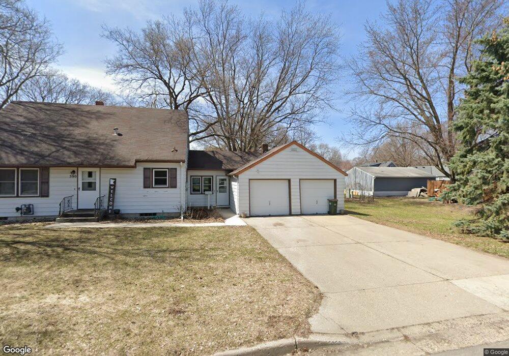
590 Merrill St SW Hutchinson, MN 55350
Estimated Value: $222,000 - $275,000
4
Beds
3
Baths
1,333
Sq Ft
$183/Sq Ft
Est. Value
About This Home
This home is located at 590 Merrill St SW, Hutchinson, MN 55350 and is currently estimated at $243,483, approximately $182 per square foot. 590 Merrill St SW is a home located in McLeod County with nearby schools including Hutchinson West Elementary School, Hutchinson Park Elementary School, and Hutchinson Middle School.
Ownership History
Date
Name
Owned For
Owner Type
Purchase Details
Closed on
May 14, 2019
Sold by
Nemitz Lorraine E
Bought by
Darnell Hudson P
Current Estimated Value
Home Financials for this Owner
Home Financials are based on the most recent Mortgage that was taken out on this home.
Original Mortgage
$131,212
Outstanding Balance
$114,891
Interest Rate
4%
Mortgage Type
New Conventional
Estimated Equity
$128,592
Create a Home Valuation Report for This Property
The Home Valuation Report is an in-depth analysis detailing your home's value as well as a comparison with similar homes in the area
Home Values in the Area
Average Home Value in this Area
Purchase History
| Date | Buyer | Sale Price | Title Company |
|---|---|---|---|
| Darnell Hudson P | $129,900 | Title Mark |
Source: Public Records
Mortgage History
| Date | Status | Borrower | Loan Amount |
|---|---|---|---|
| Open | Darnell Hudson P | $131,212 |
Source: Public Records
Tax History Compared to Growth
Tax History
| Year | Tax Paid | Tax Assessment Tax Assessment Total Assessment is a certain percentage of the fair market value that is determined by local assessors to be the total taxable value of land and additions on the property. | Land | Improvement |
|---|---|---|---|---|
| 2024 | $2,590 | $204,300 | $37,800 | $166,500 |
| 2023 | $2,594 | $197,500 | $37,800 | $159,700 |
| 2022 | $2,078 | $187,700 | $35,800 | $151,900 |
| 2021 | $1,916 | $145,000 | $31,400 | $113,600 |
| 2020 | $1,858 | $130,500 | $28,500 | $102,000 |
| 2019 | $1,676 | $124,600 | $28,500 | $96,100 |
| 2018 | $1,636 | $0 | $0 | $0 |
| 2017 | $1,516 | $0 | $0 | $0 |
| 2016 | $1,424 | $0 | $0 | $0 |
| 2015 | $1,280 | $0 | $0 | $0 |
| 2014 | -- | $0 | $0 | $0 |
Source: Public Records
Map
Nearby Homes
- 595 Milwaukee Ave SW
- 570 Lynn Rd SW
- 667 Madson Ave SW
- 642 Juul Rd SW
- 616 Brown St SW
- 724 Southview Dr SW
- 735 Sunset St SW
- 545 4th Ave SW
- 702 Southview Ct SW
- 310 & 312 4th Ave SW
- 569 Glen St SW
- 230 Lynn Rd SW
- 966 Osgood Ave SW
- 126 Lynn Rd SW
- 726 Ivy Ln SE
- 530 Lincoln Ave SW
- 1020 Roberts Rd SW
- 135 4th Ave SE
- 436 Adams St SE
- 250 Freemont Ave SE Unit 106
- 625 Milwaukee Ave SW
- 595 595 Milwaukee-Avenue-sw
- 576 Merrill St SW
- 595 Milwaukee Ave SW
- 620 Madson Ave SW
- 632 Madson Ave SW
- 616 Merrill St SW
- 583 Milwaukee Ave SW
- 572 572 Milwaukee-Avenue-sw
- 630 Milwaukee Ave SW
- 642 Madson Ave SW
- 642 642 Milwaukee Ave SW
- 615 Merrill St SW
- 655 Milwaukee Ave SW
- 580 Milwaukee Ave SW
- 574 Madson Ave SW
- 574 574 Madson Ave SW
- 642 Milwaukee Ave SW
- 571 Milwaukee Ave SW
- 656 Madson Ave SW