Estimated Value: $331,139 - $438,000
4
Beds
1
Bath
1,613
Sq Ft
$230/Sq Ft
Est. Value
About This Home
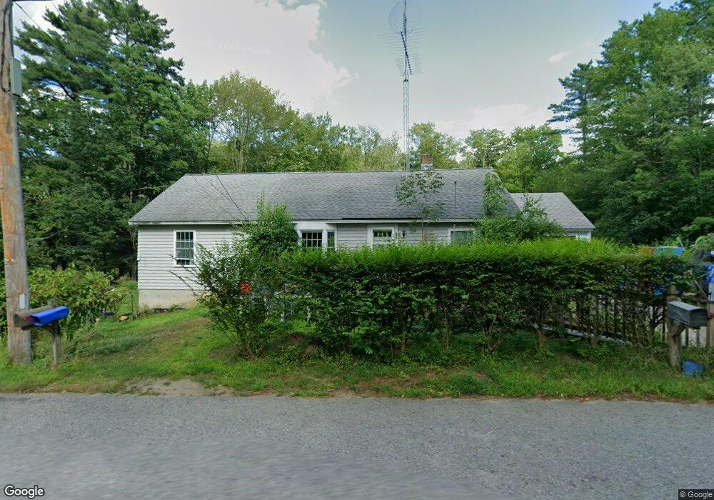
This home is located at 590 New Sherborn Rd, Athol, MA 01331 and is currently estimated at $370,785, approximately $229 per square foot. 590 New Sherborn Rd is a home located in Worcester County with nearby schools including Athol High School.
Ownership History
Date
Name
Owned For
Owner Type
Purchase Details
Closed on
Nov 6, 2014
Sold by
Williams Rt
Bought by
Williams James A and Williams Aimee
Current Estimated Value
Home Financials for this Owner
Home Financials are based on the most recent Mortgage that was taken out on this home.
Original Mortgage
$110,400
Outstanding Balance
$84,570
Interest Rate
4%
Mortgage Type
New Conventional
Estimated Equity
$286,215
Purchase Details
Closed on
May 8, 2009
Sold by
Williams Pamela J
Bought by
Williams Rt and Lake Nancy C
Create a Home Valuation Report for This Property
The Home Valuation Report is an in-depth analysis detailing your home's value as well as a comparison with similar homes in the area
Home Values in the Area
Average Home Value in this Area
Purchase History
| Date | Buyer | Sale Price | Title Company |
|---|---|---|---|
| Williams James A | $130,000 | -- | |
| Williams Rt | -- | -- | |
| Williams Rt | -- | -- |
Source: Public Records
Mortgage History
| Date | Status | Borrower | Loan Amount |
|---|---|---|---|
| Open | Williams James A | $110,400 |
Source: Public Records
Tax History Compared to Growth
Tax History
| Year | Tax Paid | Tax Assessment Tax Assessment Total Assessment is a certain percentage of the fair market value that is determined by local assessors to be the total taxable value of land and additions on the property. | Land | Improvement |
|---|---|---|---|---|
| 2025 | $3,428 | $269,700 | $70,800 | $198,900 |
| 2024 | $3,359 | $261,800 | $70,800 | $191,000 |
| 2023 | $3,187 | $227,000 | $51,500 | $175,500 |
| 2022 | $3,094 | $192,800 | $49,200 | $143,600 |
| 2021 | $4 | $181,600 | $44,600 | $137,000 |
| 2020 | $3,024 | $176,000 | $40,500 | $135,500 |
| 2019 | $2,167 | $157,400 | $38,200 | $119,200 |
| 2018 | $5 | $155,000 | $34,500 | $120,500 |
| 2017 | $2,811 | $137,800 | $34,500 | $103,300 |
| 2016 | $2,612 | $131,700 | $34,500 | $97,200 |
| 2015 | $2,506 | $131,700 | $34,500 | $97,200 |
| 2014 | $2,427 | $131,700 | $34,500 | $97,200 |
Source: Public Records
Map
Nearby Homes
- 321 Doe Valley Rd
- 00 Miles Rd
- Lot 2 Petersham Rd
- Lot 1 Petersham Rd
- 0 Riceville Rd Unit 73429842
- 706 Petersham Rd
- 572 Pleasant St
- 266 Petersham Rd
- 62 Lindsay Ln
- 288 Chase Rd
- 696 Cottage St Unit Lot 10
- 2428 Main St
- 31 Kelton St
- 792 Cottage St
- 551 Sanders St
- 64 Garfield Rd
- 71 Wendell St
- 0 Spring St
- 476 Cottage St
- 226 Chestnut St
- 556 New Sherborn Rd
- 559 New Sherborn Rd
- 634 New Sherborn Rd
- 533 New Sherborn Rd
- 516 New Sherborn Rd
- 688 New Sherborn Rd
- 591 New Sherborn Rd
- 495 New Sherborn Rd
- 480 New Sherborn Rd
- 685 New Sherborn Rd
- 706 New Sherborn Rd
- 425 New Sherborn Rd
- 719 New Sherborn Rd
- 452 New Sherborn Rd
- 750 New Sherborn Rd
- 381 New Sherborn Rd
- 843 New Sherborn Rd
- 317 New Sherborn Rd
- 136 Cailan Way
- 318 New Sherborn Rd