590 S Cody Loop Rd Oracle, AZ 85623
Estimated Value: $337,000 - $390,000
Studio
--
Bath
1,170
Sq Ft
$311/Sq Ft
Est. Value
About This Home
This home is located at 590 S Cody Loop Rd, Oracle, AZ 85623 and is currently estimated at $363,814, approximately $310 per square foot. 590 S Cody Loop Rd is a home located in Pinal County.
Ownership History
Date
Name
Owned For
Owner Type
Purchase Details
Closed on
Jun 19, 2023
Sold by
Supalla Samuel J and Supalla Robin L
Bought by
Samuel J Supalla And Robin L Supalla Living T
Current Estimated Value
Home Financials for this Owner
Home Financials are based on the most recent Mortgage that was taken out on this home.
Original Mortgage
$225,000
Interest Rate
6.6%
Mortgage Type
New Conventional
Purchase Details
Closed on
Apr 28, 2023
Sold by
Supalla Samuel J and Supalla Robin L
Bought by
Samuel J Supalla And Robin L Supalla Living T and Supalla
Home Financials for this Owner
Home Financials are based on the most recent Mortgage that was taken out on this home.
Original Mortgage
$225,000
Interest Rate
6.6%
Mortgage Type
New Conventional
Purchase Details
Closed on
Apr 27, 2023
Sold by
Spaulding Donald K
Bought by
Supalla Samuel J and Supalla Robin L
Home Financials for this Owner
Home Financials are based on the most recent Mortgage that was taken out on this home.
Original Mortgage
$225,000
Interest Rate
6.6%
Mortgage Type
New Conventional
Create a Home Valuation Report for This Property
The Home Valuation Report is an in-depth analysis detailing your home's value as well as a comparison with similar homes in the area
Home Values in the Area
Average Home Value in this Area
Purchase History
| Date | Buyer | Sale Price | Title Company |
|---|---|---|---|
| Samuel J Supalla And Robin L Supalla Living T | -- | None Listed On Document | |
| Samuel J Supalla And Robin L Supalla Living T | -- | None Listed On Document | |
| Supalla Samuel J | $375,000 | Title Security Agency |
Source: Public Records
Mortgage History
| Date | Status | Borrower | Loan Amount |
|---|---|---|---|
| Previous Owner | Supalla Samuel J | $225,000 |
Source: Public Records
Tax History
| Year | Tax Paid | Tax Assessment Tax Assessment Total Assessment is a certain percentage of the fair market value that is determined by local assessors to be the total taxable value of land and additions on the property. | Land | Improvement |
|---|---|---|---|---|
| 2025 | $1,418 | $27,218 | -- | -- |
| 2024 | $796 | $28,762 | -- | -- |
| 2023 | $1,449 | $20,558 | $6,879 | $13,679 |
| 2022 | $796 | $7,297 | $2,400 | $4,897 |
| 2021 | $855 | $7,296 | $0 | $0 |
| 2020 | $880 | $7,296 | $0 | $0 |
| 2019 | $856 | $7,297 | $0 | $0 |
| 2018 | $863 | $7,297 | $0 | $0 |
| 2017 | $875 | $7,297 | $0 | $0 |
| 2016 | $889 | $7,297 | $2,400 | $4,897 |
| 2014 | $871 | $7,297 | $2,400 | $4,897 |
Source: Public Records
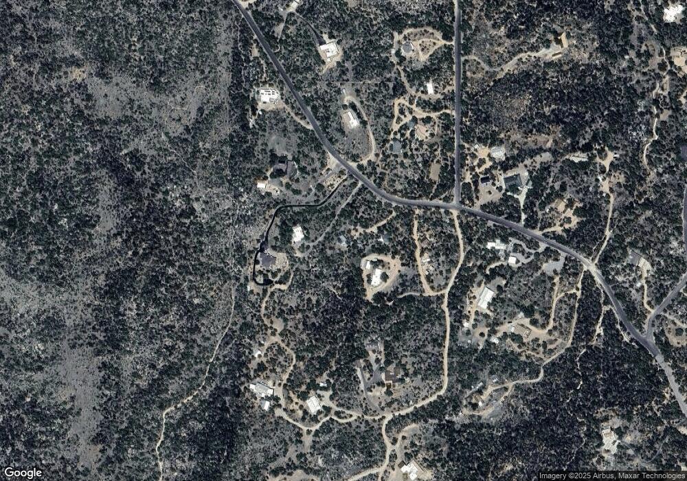
Map
Nearby Homes
- 531 S Cody Loop Rd
- 2136 E Marathon Way
- 117 S Hobe Rd
- TBD E Mount Lemmon Hwy
- TBD E Mount Lemmon Hwy Unit 8.36 Ac
- 320 N Estill Dr
- 2000 E Mount Lemmon Hwy
- 1116 N Timberline Dr
- TBD N Callas Dr Unit 20 Ac
- 978 N White Oak Place
- TBD N Viento Dr Unit 1
- TBD N Estill Dr Unit 9.54 AC
- 760 E American Ave
- +/-1 acre E American Ave
- 3890 E Defiance St
- 1243 E Aldwinkle Place
- 275 W Rochette Rd NW
- 1915 S Cody Loop Rd
- 181 W Oak Hills Dr
- 2.5 ac W Oak Hills Dr Unit A
- 602 S Coronado Ridge Rd
- 480 S Cody Loop Rd
- 478 S Cody Loop Rd
- 448 S Cody Loop Rd
- 30 S Hobe Rd
- 470 S Cody Loop Rd
- 420 S Cody Loop Rd
- 373 S Cody Loop Rd
- 770 S Coronado Ridge Rd
- 570 S Cody Loop Rd
- 35 S Hobe Rd
- 621 S Cody Loop Rd
- 394 S Cody Loop Rd
- 800 S Coronado Ridge Rd
- 690 S Cody Loop Rd
- 0 S Coronado Ridge Rd Unit 3.3 ac. 20806133
- 0 S Coronado Ridge Rd Unit 3.7acres 20806131
- 0 S Coronado Ridge Rd Unit 3.3 ac. 20832097
- 0 S Coronado Ridge Rd Unit 3.7 ac. 20832093
- 0 S Coronado Ridge Rd Unit 3.7acres 21816885
Your Personal Tour Guide
Ask me questions while you tour the home.