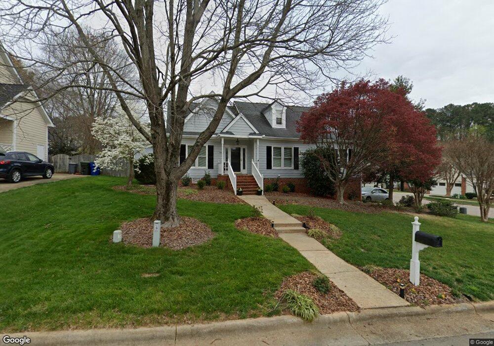
5900 Knollrock Dr Raleigh, NC 27612
North Hills NeighborhoodEstimated Value: $467,749 - $512,000
3
Beds
2
Baths
1,676
Sq Ft
$292/Sq Ft
Est. Value
About This Home
This home is located at 5900 Knollrock Dr, Raleigh, NC 27612 and is currently estimated at $489,937, approximately $292 per square foot. 5900 Knollrock Dr is a home located in Wake County with nearby schools including York Elementary School, Oberlin Middle School, and Sanderson High School.
Ownership History
Date
Name
Owned For
Owner Type
Purchase Details
Closed on
Jun 29, 2001
Sold by
Dyer Wendy T and Dyer John T
Bought by
Baker Michael H and Baker Dawn
Current Estimated Value
Home Financials for this Owner
Home Financials are based on the most recent Mortgage that was taken out on this home.
Original Mortgage
$137,200
Outstanding Balance
$52,873
Interest Rate
7.14%
Estimated Equity
$437,064
Purchase Details
Closed on
Oct 27, 1998
Sold by
Anderson Wendy Taft and Dyer Wendy T
Bought by
Dyer John T and Dyer Wendy T
Home Financials for this Owner
Home Financials are based on the most recent Mortgage that was taken out on this home.
Original Mortgage
$126,500
Interest Rate
6.61%
Create a Home Valuation Report for This Property
The Home Valuation Report is an in-depth analysis detailing your home's value as well as a comparison with similar homes in the area
Home Values in the Area
Average Home Value in this Area
Purchase History
| Date | Buyer | Sale Price | Title Company |
|---|---|---|---|
| Baker Michael H | $171,500 | -- | |
| Dyer John T | -- | -- |
Source: Public Records
Mortgage History
| Date | Status | Borrower | Loan Amount |
|---|---|---|---|
| Open | Baker Michael H | $137,200 | |
| Previous Owner | Dyer John T | $126,500 |
Source: Public Records
Tax History Compared to Growth
Tax History
| Year | Tax Paid | Tax Assessment Tax Assessment Total Assessment is a certain percentage of the fair market value that is determined by local assessors to be the total taxable value of land and additions on the property. | Land | Improvement |
|---|---|---|---|---|
| 2025 | $3,370 | $384,102 | $160,000 | $224,102 |
| 2024 | $3,356 | $384,102 | $160,000 | $224,102 |
| 2023 | $3,378 | $308,057 | $125,000 | $183,057 |
| 2022 | $3,139 | $308,057 | $125,000 | $183,057 |
| 2021 | $3,017 | $308,057 | $125,000 | $183,057 |
| 2020 | $2,963 | $308,057 | $125,000 | $183,057 |
| 2019 | $2,926 | $250,794 | $110,000 | $140,794 |
| 2018 | $2,760 | $250,794 | $110,000 | $140,794 |
| 2017 | $2,629 | $250,794 | $110,000 | $140,794 |
| 2016 | $2,575 | $250,794 | $110,000 | $140,794 |
| 2015 | $2,184 | $208,961 | $68,000 | $140,961 |
| 2014 | -- | $208,961 | $68,000 | $140,961 |
Source: Public Records
Map
Nearby Homes
- 1901 Longwood Dr
- 1910 W Millbrook Rd
- 6221 Rushingbrook Dr
- 5709 Hedgemoor Dr
- 5608 Bennettwood Ct
- 5613 Oldtowne Rd
- 5804 Heatherbrook Cir
- 6217 Creedmoor Rd
- 5444 Pine Top Cir
- 6409 Lakeland Dr
- 6313 Ashley Ridge Dr
- 6304 Ansley Ln
- 2205 Yorkgate Dr
- 5309 Ridgeloch Place
- 5804 Claribel Ct
- 1705 Burnette Garden Path
- 1701 Burnette Garden Path
- 4408 Queenstown Ct
- 6501 Burnette Flower Way
- 6505 Burnette Flower Way
- 5904 Knollrock Dr
- 5901 Canewood Place
- 1913 Longwood Dr
- 5901 Knollrock Dr
- 1909 Longwood Dr
- 5908 Knollrock Dr
- 5905 Knollrock Dr
- 1917 Longwood Dr
- 1805 Longwood Dr
- 1817 Longwood Dr
- 1805 Longwood Dr Unit 7
- 1817 Longwood Dr Unit 10
- 1905 Longwood Dr
- 5905 Canewood Place
- 2001 Longwood Dr
- 5900 Canewood Place
- 5912 Knollrock Dr
- 2004 Longwood Dr
- 5905 Danville Dr
- 5913 Knollrock Dr