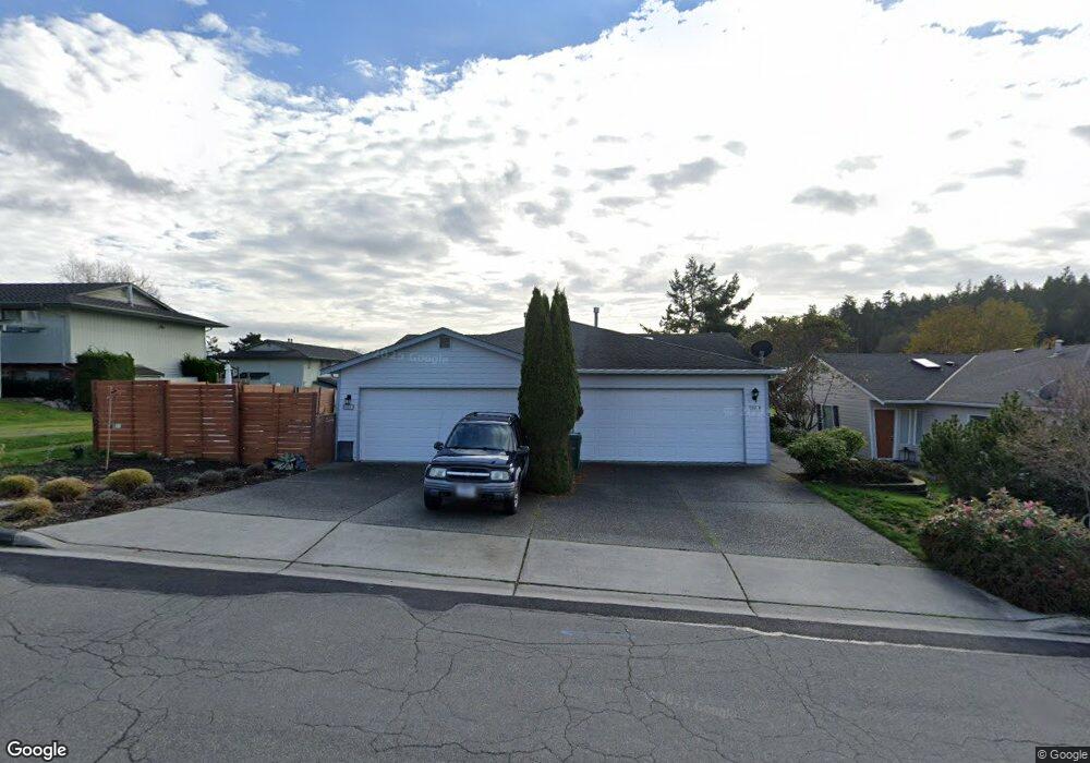
5901 Sands Way Unit B Anacortes, WA 98221
Skyline NeighborhoodEstimated Value: $535,000 - $612,000
3
Beds
3
Baths
990
Sq Ft
$595/Sq Ft
Est. Value
About This Home
This home is located at 5901 Sands Way Unit B, Anacortes, WA 98221 and is currently estimated at $589,528, approximately $595 per square foot. 5901 Sands Way Unit B is a home located in Skagit County with nearby schools including Anacortes High School.
Ownership History
Date
Name
Owned For
Owner Type
Purchase Details
Closed on
Nov 27, 2019
Sold by
Delaney Kathleen Helen
Bought by
Delaney Kalen M
Current Estimated Value
Purchase Details
Closed on
Aug 28, 2019
Sold by
Lee Jeffrey Lynn and Lee Margaret Carol
Bought by
Delaney Kathleen
Purchase Details
Closed on
May 15, 2015
Sold by
Deutsche Bank National Trust Company
Bought by
Lee Margaret Carol Sinclair and Lee Jeffrey L
Purchase Details
Closed on
Feb 23, 2015
Sold by
Birchfield Pamela S
Bought by
Deutsche Bank National Trust Company
Purchase Details
Closed on
Jun 22, 2005
Sold by
Baker Charles W and Baker Gail M
Bought by
Birchfield Pamela S
Home Financials for this Owner
Home Financials are based on the most recent Mortgage that was taken out on this home.
Original Mortgage
$213,500
Interest Rate
5.37%
Create a Home Valuation Report for This Property
The Home Valuation Report is an in-depth analysis detailing your home's value as well as a comparison with similar homes in the area
Home Values in the Area
Average Home Value in this Area
Purchase History
| Date | Buyer | Sale Price | Title Company |
|---|---|---|---|
| Delaney Kalen M | -- | None Available | |
| Delaney Kathleen | $410,000 | Land Title And Escrow | |
| Lee Margaret Carol Sinclair | $217,990 | Guardian Northwest Title Co | |
| Deutsche Bank National Trust Company | -- | 1St Am | |
| Birchfield Pamela S | $305,000 | First American Title Of Skag |
Source: Public Records
Mortgage History
| Date | Status | Borrower | Loan Amount |
|---|---|---|---|
| Previous Owner | Birchfield Pamela S | $213,500 |
Source: Public Records
Tax History Compared to Growth
Tax History
| Year | Tax Paid | Tax Assessment Tax Assessment Total Assessment is a certain percentage of the fair market value that is determined by local assessors to be the total taxable value of land and additions on the property. | Land | Improvement |
|---|---|---|---|---|
| 2025 | $3,849 | $527,600 | $225,800 | $301,800 |
| 2024 | $3,849 | $509,300 | $225,000 | $284,300 |
| 2023 | $3,713 | $492,000 | $232,700 | $259,300 |
| 2022 | $3,263 | $428,500 | $200,400 | $228,100 |
| 2021 | $2,976 | $381,400 | $163,200 | $218,200 |
| 2020 | $2,934 | $322,400 | $0 | $0 |
| 2019 | $2,556 | $311,400 | $0 | $0 |
| 2018 | $2,693 | $270,900 | $0 | $0 |
| 2017 | $2,255 | $256,900 | $0 | $0 |
| 2016 | $2,121 | $236,800 | $74,500 | $162,300 |
| 2015 | $2,056 | $214,100 | $67,800 | $146,300 |
| 2013 | $1,953 | $200,800 | $0 | $0 |
Source: Public Records
Map
Nearby Homes
- 6000 Sands Way
- 1710 Skyline Way Unit 103
- 1800 Skyline Way Unit 206
- 1800 Skyline Way Unit 205
- 6127 Parkside Dr
- 2806 Coho Ln
- 5610 Rosario Way
- 2712 Coho Ln
- 2301 Sundown Ct
- 5320 Ferry Terminal Rd
- 2411 Skyline Way Unit 103
- 4902 Portalis Way Unit 1
- 2016 Piper Cir
- 4909 Edwards Way
- 4700 Camano Place
- 4607 Camano Place
- 4604 Yorkshire Dr
- 2317 Twin Place
- 4429 Bryce Dr
- 4205 Tyler Way
- 5901 Sands Way Unit A
- 5901A Sands Way Unit A
- 5903 Sands Way Unit B
- 5903 Sands Way Unit A
- 5855 Sands Way
- 1502 Burrows Ct
- 5907 Sands Way
- 5853 Sands Way
- 1504 Burrows Ct
- 1501 Burrows Ct
- 1510 Skyline Way Unit 304
- 1510 Skyline Way Unit 202
- 1510 Skyline Way Unit 204
- 1510 Skyline Way Unit 303
- 1510 Skyline Way Unit 302
- 1510 Skyline Way Unit 301
- 1510 Skyline Way Unit 203
- 1510 Skyline Way Unit 201
- 1510 Skyline Way Unit 104
- 1510 Skyline Way Unit 103