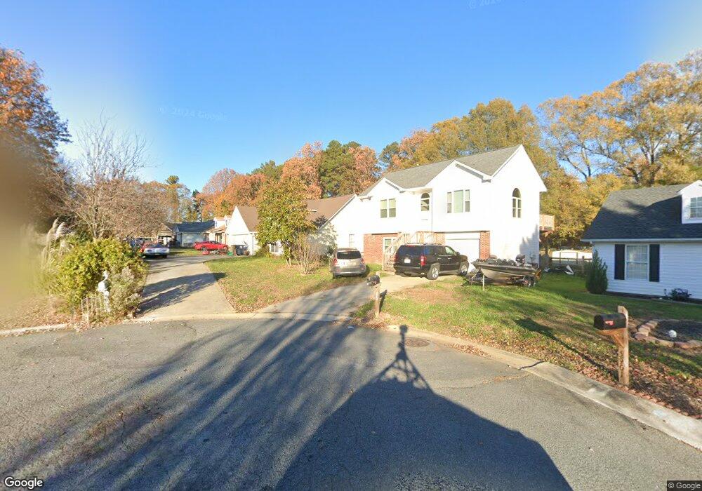
5902 Heathrow Ct Monroe, NC 28110
Estimated Value: $303,000 - $331,000
2
Beds
2
Baths
1,137
Sq Ft
$278/Sq Ft
Est. Value
About This Home
This home is located at 5902 Heathrow Ct, Monroe, NC 28110 and is currently estimated at $316,415, approximately $278 per square foot. 5902 Heathrow Ct is a home located in Union County with nearby schools including Sardis Elementary School, Porter Ridge Middle School, and Porter Ridge High School.
Ownership History
Date
Name
Owned For
Owner Type
Purchase Details
Closed on
Nov 30, 2010
Sold by
Hyde Norman Kent and Hyde Lisa Jean
Bought by
Hyde Lisa Jean
Current Estimated Value
Home Financials for this Owner
Home Financials are based on the most recent Mortgage that was taken out on this home.
Original Mortgage
$93,576
Interest Rate
4.25%
Mortgage Type
FHA
Create a Home Valuation Report for This Property
The Home Valuation Report is an in-depth analysis detailing your home's value as well as a comparison with similar homes in the area
Purchase History
| Date | Buyer | Sale Price | Title Company |
|---|---|---|---|
| Hyde Lisa Jean | -- | None Available |
Source: Public Records
Mortgage History
| Date | Status | Borrower | Loan Amount |
|---|---|---|---|
| Closed | Hyde Lisa Jean | $93,576 |
Source: Public Records
Tax History
| Year | Tax Paid | Tax Assessment Tax Assessment Total Assessment is a certain percentage of the fair market value that is determined by local assessors to be the total taxable value of land and additions on the property. | Land | Improvement |
|---|---|---|---|---|
| 2025 | $2,081 | $311,900 | $0 | $0 |
| 2024 | $1,722 | $202,500 | $36,900 | $165,600 |
| 2023 | $1,708 | $202,500 | $36,900 | $165,600 |
| 2022 | $1,692 | $200,600 | $36,900 | $163,700 |
| 2021 | $1,692 | $200,600 | $36,900 | $163,700 |
| 2020 | $954 | $122,400 | $22,000 | $100,400 |
| 2019 | $1,234 | $122,400 | $22,000 | $100,400 |
| 2018 | $954 | $122,400 | $22,000 | $100,400 |
| 2017 | $1,297 | $122,400 | $22,000 | $100,400 |
| 2016 | $998 | $122,400 | $22,000 | $100,400 |
| 2015 | $1,013 | $122,400 | $22,000 | $100,400 |
| 2014 | $836 | $117,100 | $25,000 | $92,100 |
Source: Public Records
Map
Nearby Homes
- 5908 Heathrow Ct
- 4001 Brookforest Ln
- 4001 Croftwood Ln
- 2801 Ashe Croft Dr
- 2907 Ashe Croft Dr
- 3309 Arbor Pointe Dr
- 3310 Arbor Pointe Dr
- 2014 Paddington Dr
- 1022 Mendenhall St
- 2006 Chapman St
- 3608 Braefield Dr
- 3320 Creek Trail Rd
- 3610 Esther St
- 3702 Arthur St
- 3807 Edgeview Dr
- 1010 Glen Hollow Dr
- 3702 Esther St
- 3313 Hard Rock Ct
- 333 Knotty Wood Dr
- 3708 Wesley Chapel Stouts Rd
- 5900 Heathrow Ct
- 5903 White Cliffs Dr
- 5904 Heathrow Ct
- 5901 Heathrow Ct
- 5901 White Cliffs Dr
- 5905 White Cliffs Dr
- 5905 White Cliffs Dr Unit 155
- 5903 Heathrow Ct
- 5907 White Cliffs Dr
- 5905 Heathrow Ct
- 5900 White Cliffs Dr
- 5907 Heathrow Ct
- 5902 Prestwick Ln
- 5909 White Cliffs Dr
- 5902 White Cliffs Dr
- 5904 White Cliffs Dr
- 5906 Prestwick Ln Unit 170
- 5906 Prestwick Ln
- 5906 White Cliffs Dr
- 5909 Heathrow Ct
Your Personal Tour Guide
Ask me questions while you tour the home.