59034 Shalom Dr Russellville, MI 65074
Estimated Value: $463,000 - $2,010,000
--
Bed
3
Baths
3,568
Sq Ft
$301/Sq Ft
Est. Value
About This Home
This home is located at 59034 Shalom Dr, Russellville, MI 65074 and is currently estimated at $1,073,404, approximately $300 per square foot. 59034 Shalom Dr is a home located in Cole County.
Ownership History
Date
Name
Owned For
Owner Type
Purchase Details
Closed on
Apr 16, 2021
Sold by
Macias Charles E and Macias Alys A
Bought by
Kelly Maura Lynn and Tincker Ryan Winfield
Current Estimated Value
Home Financials for this Owner
Home Financials are based on the most recent Mortgage that was taken out on this home.
Original Mortgage
$518,000
Outstanding Balance
$467,691
Interest Rate
3%
Mortgage Type
New Conventional
Estimated Equity
$605,713
Purchase Details
Closed on
Jun 22, 2007
Sold by
Zahn Mark and Zahn Terri
Bought by
Bernabe Paul and Bernabe Maria
Home Financials for this Owner
Home Financials are based on the most recent Mortgage that was taken out on this home.
Original Mortgage
$359,920
Interest Rate
6.19%
Mortgage Type
New Conventional
Create a Home Valuation Report for This Property
The Home Valuation Report is an in-depth analysis detailing your home's value as well as a comparison with similar homes in the area
Home Values in the Area
Average Home Value in this Area
Purchase History
| Date | Buyer | Sale Price | Title Company |
|---|---|---|---|
| Kelly Maura Lynn | -- | None Available | |
| Bernabe Paul | -- | None Available |
Source: Public Records
Mortgage History
| Date | Status | Borrower | Loan Amount |
|---|---|---|---|
| Open | Kelly Maura Lynn | $518,000 | |
| Previous Owner | Bernabe Paul | $359,920 |
Source: Public Records
Tax History Compared to Growth
Tax History
| Year | Tax Paid | Tax Assessment Tax Assessment Total Assessment is a certain percentage of the fair market value that is determined by local assessors to be the total taxable value of land and additions on the property. | Land | Improvement |
|---|---|---|---|---|
| 2024 | $2,458 | $42,900 | $0 | $0 |
| 2023 | $2,463 | $42,900 | $0 | $0 |
| 2022 | $2,459 | $42,900 | $0 | $0 |
| 2021 | $2,459 | $42,900 | $0 | $0 |
| 2020 | $2,539 | $44,040 | $0 | $0 |
| 2019 | $2,569 | $44,040 | $0 | $0 |
| 2018 | $2,545 | $44,050 | $0 | $0 |
| 2017 | $2,511 | $44,050 | $0 | $0 |
| 2016 | $2,515 | $44,050 | $0 | $0 |
| 2011 | -- | $44,040 | $0 | $0 |
Source: Public Records
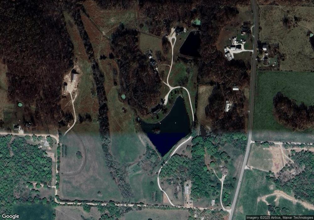
Map
Nearby Homes
- 59289 Prairie Hill Rd
- TBD 13A Shaw Rd
- 0 Shaw Rd
- 10 Hidden Oaks Rd
- 0 Missouri 87
- 111 County Road 00-4
- 901 N Oak St
- 612 N Maple St
- 11 Hancock Rd
- 705 W Rollotrend Ln
- 412 N Maple St
- 207 Greenwich Ave
- 0 Tract A Unit 10071176
- 509 Sunset Strip
- 304 N Maple St
- 110 W Autry St
- 207 N Leeds Ave
- 612 E High St
- 102 Gerhart Ave
- 105 Oak Hill Rd
- 59034 Shalom Dr
- 42924 Highway 87
- 59026 Shalom Dr
- 59030 Shalom Dr
- 42798 Highway 87
- 42798 Highway 87
- 59008 Shalom Dr
- 59391 Shalom Dr
- 42798 Missouri 87
- 59011 Shalom Dr
- 59291 Shalom Dr
- 5291 Shalom Dr
- 42959 Missouri 87
- 42959 Highway 87
- 42959 Highway 87
- 0 Shalom Dr
- 42443 Highway 87
- 43339 Highway 87
- 42585 Grant School Rd
- 43370 Highway 87