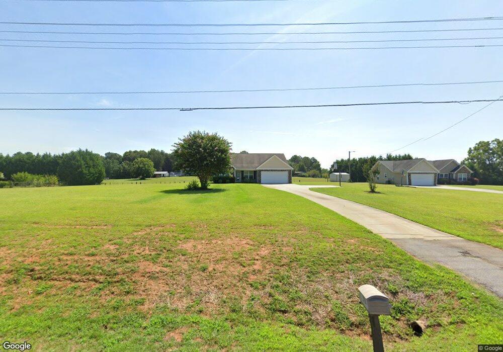
5904 Highway 187 Anderson, SC 29625
Estimated Value: $301,000 - $418,000
3
Beds
--
Bath
2,251
Sq Ft
$162/Sq Ft
Est. Value
About This Home
This home is located at 5904 Highway 187, Anderson, SC 29625 and is currently estimated at $365,160, approximately $162 per square foot. 5904 Highway 187 is a home with nearby schools including Pendleton High School.
Ownership History
Date
Name
Owned For
Owner Type
Purchase Details
Closed on
Jul 25, 2008
Sold by
Aho Homes Llc
Bought by
Austin Angelika M
Current Estimated Value
Home Financials for this Owner
Home Financials are based on the most recent Mortgage that was taken out on this home.
Original Mortgage
$153,433
Outstanding Balance
$100,653
Interest Rate
6.32%
Mortgage Type
Purchase Money Mortgage
Estimated Equity
$264,507
Purchase Details
Closed on
Apr 3, 2008
Sold by
Primetime Properties Llc
Bought by
Aho Homes Llc
Purchase Details
Closed on
May 1, 2007
Sold by
Bowman Billy Steven and Bowman Patsy Linda
Bought by
Taylor Earl L and Taylor Doris
Create a Home Valuation Report for This Property
The Home Valuation Report is an in-depth analysis detailing your home's value as well as a comparison with similar homes in the area
Home Values in the Area
Average Home Value in this Area
Purchase History
| Date | Buyer | Sale Price | Title Company |
|---|---|---|---|
| Austin Angelika M | $154,975 | -- | |
| Aho Homes Llc | $25,000 | -- | |
| Taylor Earl L | $60,000 | None Available |
Source: Public Records
Mortgage History
| Date | Status | Borrower | Loan Amount |
|---|---|---|---|
| Open | Austin Angelika M | $153,433 |
Source: Public Records
Tax History Compared to Growth
Tax History
| Year | Tax Paid | Tax Assessment Tax Assessment Total Assessment is a certain percentage of the fair market value that is determined by local assessors to be the total taxable value of land and additions on the property. | Land | Improvement |
|---|---|---|---|---|
| 2024 | $1,440 | $10,490 | $1,360 | $9,130 |
| 2023 | $1,440 | $10,490 | $1,360 | $9,130 |
| 2022 | $1,267 | $10,490 | $1,360 | $9,130 |
| 2021 | $1,104 | $7,870 | $560 | $7,310 |
| 2020 | $1,087 | $7,870 | $560 | $7,310 |
| 2019 | $1,087 | $7,870 | $560 | $7,310 |
| 2018 | $1,095 | $7,870 | $560 | $7,310 |
| 2017 | -- | $7,870 | $560 | $7,310 |
| 2016 | $994 | $7,010 | $720 | $6,290 |
| 2015 | $999 | $7,010 | $720 | $6,290 |
| 2014 | $1,029 | $7,010 | $720 | $6,290 |
Source: Public Records
Map
Nearby Homes
- 5924 S Carolina 187
- 108 Grindstone Way
- 1103 Burns Bridge Rd
- 5028 Patterson Rd
- 114 Ann Rd
- 1011 Shadow Ln
- 360 Cann Rd
- 1011 Arrowhead Point Rd
- 201 Shore Dr
- 116 Dean Rd
- 4638 Pine Needle Cir
- 4615 Pine Needle Cir
- 3310 Centerville Rd
- 04 Gibson Rd
- 03 Gibson Rd
- 02 Gibson Rd
- 01 Gibson Rd
- 2152 Deloach Dr
- 527 Nautical Way
- 1130 Cartee Rd
- 5902 Highway 187
- 5906 Highway 187
- 107 Mount Tabor Rd
- 5900 Highway 187
- 115 Mount Tabor Rd
- 5916 Highway 187
- 121 Mount Tabor Rd
- 5918 S Carolina 187
- 123 Mount Tabor Rd
- 00 Mt Tabor Rd
- 125 Mount Tabor Rd
- 5920 Highway 187
- 127 Mount Tabor Rd
- 125 Bainbridge Dr
- 125 Bainbridge Dr
- 5854 Highway 187
- 5924 Highway 187
- 3856 Centerville Rd
- 3813 Centerville Rd
- 1002 Old Gantt Mill Rd