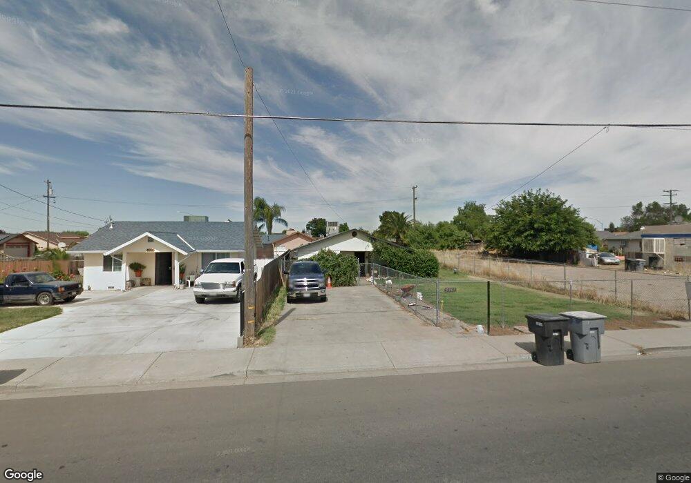
5907 Terminal Ave Riverbank, CA 95367
Estimated Value: $293,000 - $355,000
3
Beds
1
Bath
1,140
Sq Ft
$286/Sq Ft
Est. Value
About This Home
This home is located at 5907 Terminal Ave, Riverbank, CA 95367 and is currently estimated at $326,462, approximately $286 per square foot. 5907 Terminal Ave is a home located in Stanislaus County with nearby schools including California Avenue Elementary School, Cardozo Middle, and Riverbank High School.
Ownership History
Date
Name
Owned For
Owner Type
Purchase Details
Closed on
Nov 15, 2001
Sold by
Blackwood Dennis Ray and Blackwood Darrel Franklin
Bought by
Blackwood Darrel
Current Estimated Value
Home Financials for this Owner
Home Financials are based on the most recent Mortgage that was taken out on this home.
Original Mortgage
$75,000
Interest Rate
6.57%
Purchase Details
Closed on
Jul 21, 1996
Sold by
Blackwood Roy Franklin and Blackwood Ray Franklin
Bought by
Blackwood Roy Franklin
Create a Home Valuation Report for This Property
The Home Valuation Report is an in-depth analysis detailing your home's value as well as a comparison with similar homes in the area
Home Values in the Area
Average Home Value in this Area
Purchase History
| Date | Buyer | Sale Price | Title Company |
|---|---|---|---|
| Blackwood Darrel | -- | North American Title Co | |
| Blackwood Roy Franklin | -- | -- |
Source: Public Records
Mortgage History
| Date | Status | Borrower | Loan Amount |
|---|---|---|---|
| Closed | Blackwood Darrel | $75,000 |
Source: Public Records
Tax History Compared to Growth
Tax History
| Year | Tax Paid | Tax Assessment Tax Assessment Total Assessment is a certain percentage of the fair market value that is determined by local assessors to be the total taxable value of land and additions on the property. | Land | Improvement |
|---|---|---|---|---|
| 2025 | $714 | $31,187 | $7,889 | $23,298 |
| 2024 | $699 | $30,577 | $7,735 | $22,842 |
| 2023 | $657 | $29,979 | $7,584 | $22,395 |
| 2022 | $313 | $29,392 | $7,436 | $21,956 |
| 2021 | $304 | $28,817 | $7,291 | $21,526 |
| 2020 | $295 | $28,523 | $7,217 | $21,306 |
| 2019 | $286 | $27,965 | $7,076 | $20,889 |
| 2018 | $278 | $27,418 | $6,938 | $20,480 |
| 2017 | $270 | $26,881 | $6,802 | $20,079 |
| 2016 | $262 | $26,355 | $6,669 | $19,686 |
| 2015 | $262 | $25,960 | $6,569 | $19,391 |
| 2014 | $262 | $25,453 | $6,441 | $19,012 |
Source: Public Records
Map
Nearby Homes
- 3724 Kentucky Ave
- 5654 Terminal Ave
- 5831 Alton Ct
- 5906 Man o War Ct
- 3761 Arizona Ave
- 3240 Lemmons St
- 5725 Wild Cat Ct
- 3830 Prince George Ln
- 5636 Landon Ln
- 5630 Landon Ln
- 5521 Litt Rd
- 5567 Landon Ln
- 5555 Landon Ln
- 0 7th St
- 0 Rocky Ln
- 3342 Minniear Ave
- 5901 Newbrook Cir Unit 49
- 5613 Rose Brook Dr
- 2960 Rocky Ln
- 3130 Sierra St
- 5901 Terminal Ave
- 3525 Virginia Ave
- 3519 Virginia Ave
- 3524 Kentucky Ave
- 0 8th St
- 3530 Virginia Ave
- 3518 Kentucky Ave
- 3513 Virginia Ave
- 5918 Terminal Ave
- 5867 Terminal Ave
- 3524 Virginia Ave
- 3512 Kentucky Ave
- 5924 Terminal Ave
- 3600 Virginia Ave
- 3518 Virginia Ave
- 3506 Kentucky Ave
- 5930 Terminal Ave
- 3531 Kentucky Ave
- 5861 Terminal Ave
- 3512 Virginia Ave